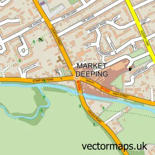
This Baston street map is a detailed vector street map covering a 750m x 750m area. Select a larger area to create and download your own vector street map of Baston.
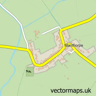
The 750-metre map sample for Baston covers 352 mapped buildings and approximately 12.5 km of road detail, of which 18 named roads are named. The immediate area includes 1 school, 1 pub and 1 MOT station. The wider area around Baston features 1 tourism point of interest and 1 food and drink venue. To create a larger or custom map of Baston, the map builder lets you define your own coverage area and download editable SVG, PDF and PNG files.
Create a larger editable map of Baston
Choose any area you need and generate a high-quality vector map instantly. Perfect for print, planning, design, business and personal use.

This Baston street map in Lincolnshire is available as downloadable SVG, PDF and PNG map files, or as a printed map for planning, business, display, education, local information and design work. You can also create a larger custom map area using the map selector.
What this Baston map sample shows
Baston lies within Baston Cp parish, part of Casewick ward in the South Kesteven District local authority area. The postcode geography for this area includes the PE postcode area, the PE6 postcode district and the PE6 9 postcode sector. Residents fall under the Nhs Lincolnshire Integrated Care Board for NHS services.
Local features near Baston
Within 2 milesAmenities and services in and around Baston.
Administrative and postcode information for Baston
Baston lies within Baston Cp parish, part of Casewick ward in the South Kesteven District local authority area. The postcode geography for this area includes the PE postcode area, the PE6 postcode district and the PE6 9 postcode sector. Residents fall under the Nhs Lincolnshire Integrated Care Board for NHS services.
Nearby street map samples around Baston

More street maps in Lincolnshire
750 metre map area coverage
Boundary, postcode and point of interest information for the 750m x 750m rectangle centred on this sample map.
Boundaries containing map centre
Constituency: Rutland and Stamford Co Const
County: Lincolnshire County
District: South Kesteven District
Icb: NHS Lincolnshire ICB
Parish: Baston CP
Police Force: lincolnshire
Postcode District: PE6
Postcode Sector: PE6 9
Ward: Casewick Ward
Nearby boundaries intersecting sample
No additional intersecting boundaries found.
Postcode coverage
POI category counts
Automotive Repair: 2
Church Cathedral: 2
Convenience Store: 2
Farm: 2
Attractions And Activities: 1
Beauty Salon: 1
Car Dealer: 1
Caterer: 1
Community Services Non Profits: 1
Computer Hardware Company: 1
Sample points of interest
- Brudenell Playing Field
- Chapel Motor Repairs Ltd
- Chapel Motors
- Gemma at Stylehouse
- AMD Autos
- Baston Village Hall
- Baston St John the Baptist Church
- St John the Baptist's Church
- Baston Firework Extravaganza
- Key Master Locksmiths
- Alby's Plastering and Building
- Londis
Create a larger editable map of Baston
This sample shows only a 750 metre area. To create a larger map of Baston, use our map builder to choose your own coverage area, add titles and download editable SVG, PDF and PNG files.
Create a custom map of Baston