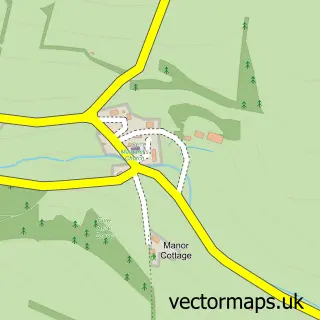
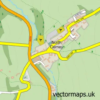
This Baunton street map is a detailed vector street map covering a 750m x 750m area. Select a larger area to create and download your own vector street map of Baunton.
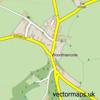
The 750-metre map sample for Baunton covers 113 mapped buildings and approximately 25.3 km of road detail, of which 5 named roads are named. The immediate area includes 2 GP surgeries within 2 miles and 6 MOT stations within 2 miles. To create a larger or custom map of Baunton, the map builder lets you define your own coverage area and download editable SVG, PDF and PNG files.
Create a larger editable map of Baunton
Choose any area you need and generate a high-quality vector map instantly. Perfect for print, planning, design, business and personal use.

This Baunton street map in Gloucestershire is available as downloadable SVG, PDF and PNG map files, or as a printed map for planning, business, display, education, local information and design work. You can also create a larger custom map area using the map selector.
What this Baunton map sample shows
Baunton lies within Baunton Cp parish, part of Chedworth & Churn Valley ward in the Cotswold District local authority area. The postcode geography for this area includes the GL postcode area, the GL7 postcode district and the GL7 7 postcode sector. Residents fall under the Nhs Gloucestershire Integrated Care Board for NHS services.
Local features near Baunton
Within 2 milesAmenities and services in and around Baunton.
Administrative and postcode information for Baunton
Baunton lies within Baunton Cp parish, part of Chedworth & Churn Valley ward in the Cotswold District local authority area. The postcode geography for this area includes the GL postcode area, the GL7 postcode district and the GL7 7 postcode sector. Residents fall under the Nhs Gloucestershire Integrated Care Board for NHS services.
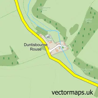
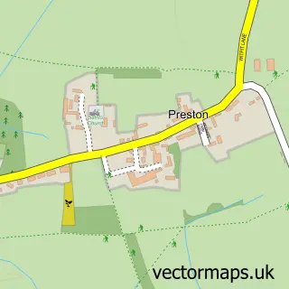
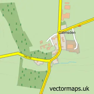
Nearby street map samples around Baunton
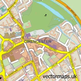

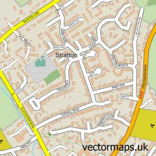
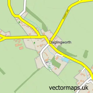
More street maps in Gloucestershire
750 metre map area coverage
Boundary, postcode and point of interest information for the 750m x 750m rectangle centred on this sample map.
Boundaries containing map centre
Constituency: North Cotswolds Co Const
County: Gloucestershire County
District: Cotswold District
Icb: NHS Gloucestershire ICB
Parish: Baunton CP
Police Force: gloucestershire
Postcode District: GL7
Postcode Sector: GL7 7
Ward: Chedworth & Churn Valley Ward
Nearby boundaries intersecting sample
Constituency: South Cotswolds Co Const
Parish: Bagendon CP, Cirencester CP
Postcode Sector: GL7 2
Ward: Abbey Ward, Stratton Ward
Postcode coverage
POI category counts
Anglican Church: 1
Building Supply Store: 1
Grocery Store: 1
Holiday Rental Home: 1
Horse Boarding: 1
Landscaping: 1
Sample points of interest
- St Mary Magdalene
- Cotswold Estate Services
- The Cotswold Curer
- The Old Manor Coach House
- Woodland Barn Livery Yard
- Cotswold Estates & Garden
Create a larger editable map of Baunton
This sample shows only a 750 metre area. To create a larger map of Baunton, use our map builder to choose your own coverage area, add titles and download editable SVG, PDF and PNG files.
Create a custom map of Baunton