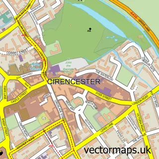
This Stratton street map is a detailed vector street map covering a 750m x 750m area. Select a larger area to create and download your own vector street map of Stratton.
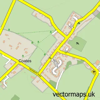
The 750-metre map sample for Stratton covers 520 mapped buildings and approximately 32.3 km of road detail, of which 26 named roads are named. The immediate area includes 1 school, 3 GP surgeries within 2 miles, 2 pubs and 12 MOT stations within 2 miles. The wider area around Stratton features 2 tourism points of interest, 4 food and drink venues and 2 hotels. To create a larger or custom map of Stratton, the map builder lets you define your own coverage area and download editable SVG, PDF and PNG files.
Create a larger editable map of Stratton
Choose any area you need and generate a high-quality vector map instantly. Perfect for print, planning, design, business and personal use.

This Stratton street map in Gloucestershire is available as downloadable SVG, PDF and PNG map files, or as a printed map for planning, business, display, education, local information and design work. You can also create a larger custom map area using the map selector.
What this Stratton map sample shows
Stratton lies within Cirencester Cp parish, part of Stratton ward in the Cotswold District local authority area. The postcode geography for this area includes the GL postcode area, the GL7 postcode district and the GL7 2 postcode sector. Residents fall under the Nhs Gloucestershire Integrated Care Board for NHS services.
Local features near Stratton
Within 2 milesAmenities and services in and around Stratton.
Administrative and postcode information for Stratton
Stratton lies within Cirencester Cp parish, part of Stratton ward in the Cotswold District local authority area. The postcode geography for this area includes the GL postcode area, the GL7 postcode district and the GL7 2 postcode sector. Residents fall under the Nhs Gloucestershire Integrated Care Board for NHS services.
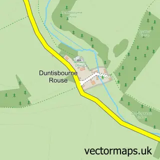
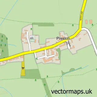
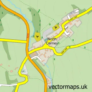
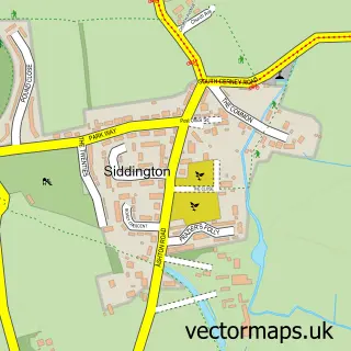
Nearby street map samples around Stratton

More street maps in Gloucestershire
750 metre map area coverage
Boundary, postcode and point of interest information for the 750m x 750m rectangle centred on this sample map.
Boundaries containing map centre
Constituency: South Cotswolds Co Const
County: Gloucestershire County
District: Cotswold District
Icb: NHS Gloucestershire ICB
Parish: Cirencester CP
Police Force: gloucestershire
Postcode District: GL7
Postcode Sector: GL7 2
Ward: Stratton Ward
Nearby boundaries intersecting sample
Constituency: North Cotswolds Co Const
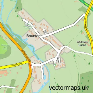
Parish: Baunton CP
Ward: Chedworth & Churn Valley Ward
Postcode coverage
POI category counts
Electrician: 3
Hotel: 2
Pub: 2
Alternative Medicine: 1
Car Dealer: 1
Carpenter: 1
Coffee Shop: 1
Community Center: 1
Driving School: 1
Elementary School: 1
Sample points of interest
- Therapy Clinic
- Wiltshire Vehicle Sales
- Andrew Pritchett the Carpenter
- Starbucks
- Stratton Village Hall
- Phoenix Driving
- Crown Electrical Services
- Peacock Electrical Ltd
- Rob Hamlett Electrical Contractor
- Stratton CofE Primary School - New
- Little Party Hire
- Beyond France Ltd.
Create a larger editable map of Stratton
This sample shows only a 750 metre area. To create a larger map of Stratton, use our map builder to choose your own coverage area, add titles and download editable SVG, PDF and PNG files.
Create a custom map of Stratton