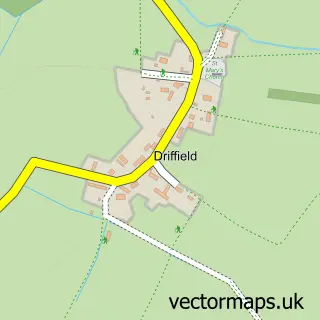
This Siddington street map is a detailed vector street map covering a 750m x 750m area. Select a larger area to create and download your own vector street map of Siddington.
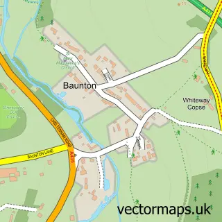
The 750-metre map sample for Siddington covers 173 mapped buildings and approximately 13.1 km of road detail, of which 13 named roads are named. The immediate area includes 3 GP surgeries within 2 miles, 1 pub and 12 MOT stations within 2 miles. The wider area around Siddington features 2 food and drink venues. To create a larger or custom map of Siddington, the map builder lets you define your own coverage area and download editable SVG, PDF and PNG files.
Create a larger editable map of Siddington
Choose any area you need and generate a high-quality vector map instantly. Perfect for print, planning, design, business and personal use.

This Siddington street map in Gloucestershire is available as downloadable SVG, PDF and PNG map files, or as a printed map for planning, business, display, education, local information and design work. You can also create a larger custom map area using the map selector.
What this Siddington map sample shows
Siddington lies within Siddington Cp parish, part of Siddington & Cerney Rural ward in the Cotswold District local authority area. The postcode geography for this area includes the GL postcode area, the GL7 postcode district and the GL7 6 postcode sector. Residents fall under the Nhs Gloucestershire Integrated Care Board for NHS services.
Local features near Siddington
Within 2 milesAmenities and services in and around Siddington.
Administrative and postcode information for Siddington
Siddington lies within Siddington Cp parish, part of Siddington & Cerney Rural ward in the Cotswold District local authority area. The postcode geography for this area includes the GL postcode area, the GL7 postcode district and the GL7 6 postcode sector. Residents fall under the Nhs Gloucestershire Integrated Care Board for NHS services.
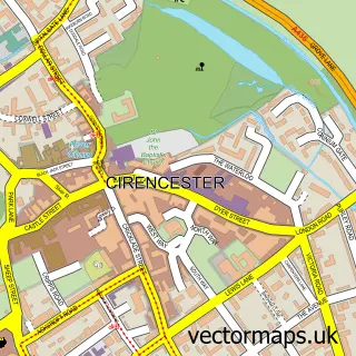
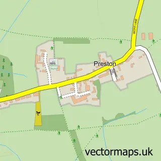
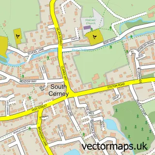
Nearby street map samples around Siddington

More street maps in Gloucestershire
750 metre map area coverage
Boundary, postcode and point of interest information for the 750m x 750m rectangle centred on this sample map.
Boundaries containing map centre
Constituency: South Cotswolds Co Const
County: Gloucestershire County
District: Cotswold District
Icb: NHS Gloucestershire ICB
Parish: Siddington CP
Police Force: gloucestershire
Postcode District: GL7
Postcode Sector: GL7 6
Ward: Siddington & Cerney Rural Ward
Nearby boundaries intersecting sample
No additional intersecting boundaries found.
Postcode coverage
POI category counts
Advertising Agency: 2
Post Office: 2
Building Supply Store: 1
Business: 1
Cafe: 1
Car Rental Agency: 1
Child Care And Day Care: 1
Event Planning: 1
Hvac Services: 1
Playground: 1
Sample points of interest
- Big Yellow Marketing
- Ciren Scene
- Corinium Facilities
- Cotswold PA Services
- Dễ Thương
- 4 X 4 Vehicle Hire
- PATA @ Siddington & Kemble
- Siddington Village Hall, Gloucestershire
- Dan North
- Siddington Play Park
- Post Office
- Siddington Post Office
Create a larger editable map of Siddington
This sample shows only a 750 metre area. To create a larger map of Siddington, use our map builder to choose your own coverage area, add titles and download editable SVG, PDF and PNG files.
Create a custom map of Siddington