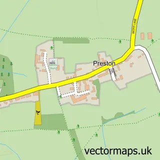
This Ewen street map is a detailed vector street map covering a 750m x 750m area. Select a larger area to create and download your own vector street map of Ewen.
The 750-metre map sample for Ewen covers 90 mapped buildings and approximately 17.7 km of road detail, of which 1 named road are named. The wider area around Ewen features 1 hotel and 1 campsite within 2 miles. To create a larger or custom map of Ewen, the map builder lets you define your own coverage area and download editable SVG, PDF and PNG files.
Create a larger editable map of Ewen
Choose any area you need and generate a high-quality vector map instantly. Perfect for print, planning, design, business and personal use.

This Ewen street map in Gloucestershire is available as downloadable SVG, PDF and PNG map files, or as a printed map for planning, business, display, education, local information and design work. You can also create a larger custom map area using the map selector.
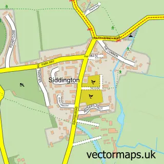
What this Ewen map sample shows
Ewen lies within Kemble And Ewen Cp parish, part of Kemble ward in the Cotswold District local authority area. The postcode geography for this area includes the GL postcode area, the GL7 postcode district and the GL7 6 postcode sector. Residents fall under the Nhs Gloucestershire Integrated Care Board for NHS services.
Local features near Ewen
Within 2 milesAmenities and services in and around Ewen.
Administrative and postcode information for Ewen
Ewen lies within Kemble And Ewen Cp parish, part of Kemble ward in the Cotswold District local authority area. The postcode geography for this area includes the GL postcode area, the GL7 postcode district and the GL7 6 postcode sector. Residents fall under the Nhs Gloucestershire Integrated Care Board for NHS services.
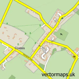
Nearby street map samples around Ewen
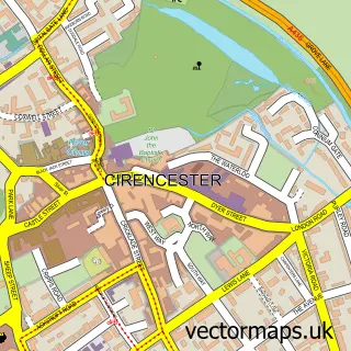

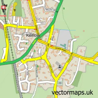
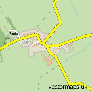
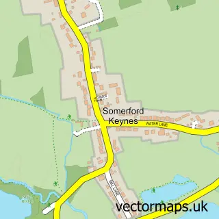
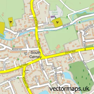
More street maps in Gloucestershire
750 metre map area coverage
Boundary, postcode and point of interest information for the 750m x 750m rectangle centred on this sample map.
Boundaries containing map centre
Constituency: South Cotswolds Co Const
County: Gloucestershire County
District: Cotswold District
Icb: NHS Gloucestershire ICB
Parish: Kemble and Ewen CP
Police Force: gloucestershire
Postcode District: GL7
Postcode Sector: GL7 6
Ward: Kemble Ward
Nearby boundaries intersecting sample
Parish: Somerford Keynes CP
Postcode coverage
POI category counts
Automotive Repair: 1
Bed And Breakfast: 1
Bridal Shop: 1
Event Planning: 1
Gastropub: 1
Hotel: 1
Hvac Services: 1
It Service And Computer Repair: 1
Pet Store: 1
Real Estate Service: 1
Sample points of interest
- UK Detailing
- Well Cottage Bed and Breakfast
- Bittenham Springs
- Water's Edge at Ewen
- The Wild Duck Inn
- Wild Duck
- D W Dunn
- Trust Systems Ltd
- Henry Cole & Co
- RC Student Letting and Management
Create a larger editable map of Ewen
This sample shows only a 750 metre area. To create a larger map of Ewen, use our map builder to choose your own coverage area, add titles and download editable SVG, PDF and PNG files.
Create a custom map of Ewen