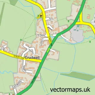
This Kemble street map is a detailed vector street map covering a 750m x 750m area. Select a larger area to create and download your own vector street map of Kemble.
The 750-metre map sample for Kemble covers 300 mapped buildings and approximately 28.5 km of road detail, of which 16 named roads are named. The immediate area includes 1 school, 1 railway station and 1 MOT station within 2 miles. The wider area around Kemble features 2 tourism points of interest and 2 food and drink venues. To create a larger or custom map of Kemble, the map builder lets you define your own coverage area and download editable SVG, PDF and PNG files.
Create a larger editable map of Kemble
Choose any area you need and generate a high-quality vector map instantly. Perfect for print, planning, design, business and personal use.

This Kemble street map in Gloucestershire is available as downloadable SVG, PDF and PNG map files, or as a printed map for planning, business, display, education, local information and design work. You can also create a larger custom map area using the map selector.
What this Kemble map sample shows
Kemble lies within Kemble And Ewen Cp parish, part of Kemble ward in the Cotswold District local authority area. The postcode geography for this area includes the GL postcode area, the GL7 postcode district and the GL7 6 postcode sector. Residents fall under the Nhs Gloucestershire Integrated Care Board for NHS services.
Local features near Kemble
Within 2 milesAmenities and services in and around Kemble.
Administrative and postcode information for Kemble
The local authority covering Kemble is Cotswold District, within the county of Gloucestershire. The settlement lies within Kemble ward and Kemble And Ewen Cp civil parish. The GL7 postcode district and GL7 6 postcode sector serve the immediate area. NHS provision in the area is delivered through Gloucestershire Hospitals Nhs Foundation Trust.
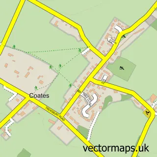
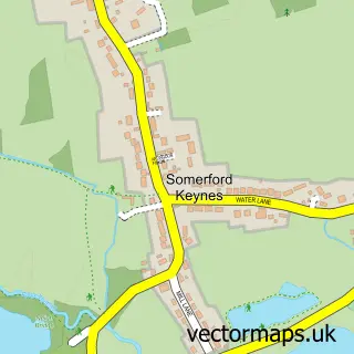
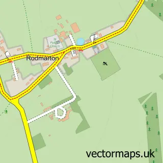
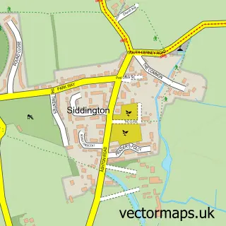
Nearby street map samples around Kemble

More street maps in Gloucestershire
750 metre map area coverage
Boundary, postcode and point of interest information for the 750m x 750m rectangle centred on this sample map.
Boundaries containing map centre
Constituency: South Cotswolds Co Const
County: Gloucestershire County
District: Cotswold District
Icb: NHS Gloucestershire ICB
Parish: Kemble and Ewen CP
Police Force: gloucestershire
Postcode District: GL7
Postcode Sector: GL7 6
Ward: Kemble Ward
Nearby boundaries intersecting sample
No additional intersecting boundaries found.
Postcode coverage
POI category counts
Train Station: 4
Church Cathedral: 2
Landmark And Historical Building: 2
Post Office: 2
Accountant: 1
Anglican Church: 1
Automotive Parts And Accessories: 1
Cafe: 1
Doctor: 1
Electrician: 1
Sample points of interest
- Hetty Verney Accounting
- All Saints, Kemble
- Fred's Fabrications
- Off The Rails Cafe
- Thameshead Messy Church
- The Parish Church of All Saints Kemble
- Phoenix Kemble
- DL Hayward Electrical
- Kemble Primary School
- MortgageAdvice.Biz
- Mark Sampson
- Kemble Railway Cuttings
Create a larger editable map of Kemble
This sample shows only a 750 metre area. To create a larger map of Kemble, use our map builder to choose your own coverage area, add titles and download editable SVG, PDF and PNG files.
Create a custom map of Kemble