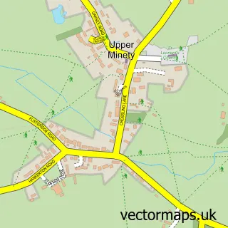
This Crudwell street map is a detailed vector street map covering a 750m x 750m area. Select a larger area to create and download your own vector street map of Crudwell.
The 750-metre map sample for Crudwell covers 208 mapped buildings and approximately 10.7 km of road detail, of which 10 named roads are named. The immediate area includes 1 school, 1 pub and 1 MOT station within 2 miles. The wider area around Crudwell features 1 food and drink venue and 4 hotels. To create a larger or custom map of Crudwell, the map builder lets you define your own coverage area and download editable SVG, PDF and PNG files.
Create a larger editable map of Crudwell
Choose any area you need and generate a high-quality vector map instantly. Perfect for print, planning, design, business and personal use.

This Crudwell street map in Wiltshire is available as downloadable SVG, PDF and PNG map files, or as a printed map for planning, business, display, education, local information and design work. You can also create a larger custom map area using the map selector.
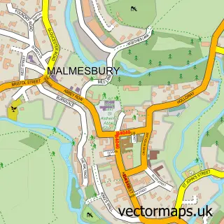
What this Crudwell map sample shows
Crudwell lies within Crudwell Cp parish, part of Minety ward in the Wiltshire local authority area. The postcode geography for this area includes the SN postcode area, the SN16 postcode district and the SN16 9 postcode sector. Residents fall under the Nhs Bath And North East Somerset, Swindon And Wiltshire Integrated Care Board for NHS services.
Local features near Crudwell
Within 2 milesAmenities and services in and around Crudwell.
Administrative and postcode information for Crudwell
Crudwell lies within Crudwell Cp parish, part of Minety ward in the Wiltshire local authority area. The postcode geography for this area includes the SN postcode area, the SN16 postcode district and the SN16 9 postcode sector. Residents fall under the Nhs Bath And North East Somerset, Swindon And Wiltshire Integrated Care Board for NHS services.
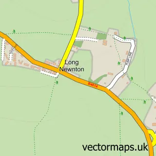
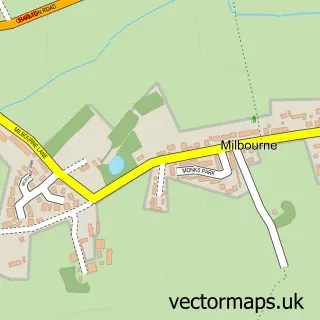
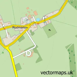
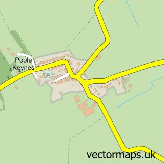
Nearby street map samples around Crudwell

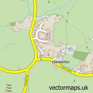
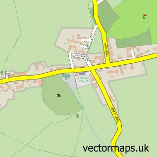
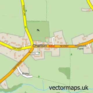
More street maps in Wiltshire
750 metre map area coverage
Boundary, postcode and point of interest information for the 750m x 750m rectangle centred on this sample map.
Boundaries containing map centre
Constituency: South Cotswolds Co Const
District: Wiltshire
Icb: NHS Bath and North East Somerset Swindon and Wiltshire ICB
Parish: Crudwell CP
Police Force: wiltshire
Postcode District: SN16
Postcode Sector: SN16 9
Nearby boundaries intersecting sample
No additional intersecting boundaries found.
Postcode coverage
POI category counts
Hotel: 4
Church Cathedral: 1
Construction Services: 1
Elementary School: 1
Engineering Services: 1
Event Technology Service: 1
Farmers Market: 1
Home Service: 1
Laundry Services: 1
Mining: 1
Sample points of interest
- Crudwell, opp All Saints Church
- Yellowstone Roofing & Property Contractors
- Crudwell C of E Primary School
- Cotswold Engineering
- Malmesbury Marquees
- Roving Farmers Market
- Wildlings
- Mayfield Cottage
- Mayfield House Hotel & Restaurant
- Pettifers Freehouse Hotel
- The Rectory Hotel
- Ironing-Bored
Create a larger editable map of Crudwell
This sample shows only a 750 metre area. To create a larger map of Crudwell, use our map builder to choose your own coverage area, add titles and download editable SVG, PDF and PNG files.
Create a custom map of Crudwell