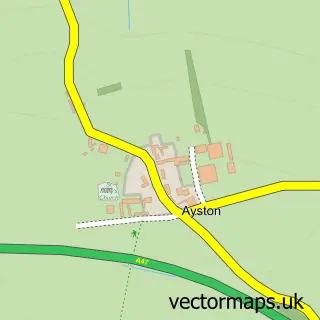
This Belton-in-Rutland street map is a detailed vector street map covering a 750m x 750m area. Select a larger area to create and download your own vector street map of Belton-in-Rutland.
The 750-metre map sample for Belton-in-Rutland covers 150 mapped buildings and approximately 18.0 km of road detail, of which 13 named roads are named. The immediate area includes 2 pubs. The wider area around Belton-in-Rutland features 2 food and drink venues. To create a larger or custom map of Belton-in-Rutland, the map builder lets you define your own coverage area and download editable SVG, PDF and PNG files.
Create a larger editable map of Belton-in-Rutland
Choose any area you need and generate a high-quality vector map instantly. Perfect for print, planning, design, business and personal use.

This Belton-in-Rutland street map in Rutland is available as downloadable SVG, PDF and PNG map files, or as a printed map for planning, business, display, education, local information and design work. You can also create a larger custom map area using the map selector.
What this Belton-in-Rutland map sample shows
Belton-in-Rutland lies within Belton-In-Rutland Cp parish, part of Braunston & Martinsthorpe ward in the Rutland local authority area. The postcode geography for this area includes the LE postcode area, the LE15 postcode district and the LE15 9 postcode sector. Residents fall under the Nhs Leicester, Leicestershire And Rutland Integrated Care Board for NHS services.
Local features near Belton-in-Rutland
Within 2 milesAmenities and services in and around Belton-in-Rutland.
Administrative and postcode information for Belton-in-Rutland
The local authority covering Belton-in-Rutland is Rutland, within the county of Rutland. The settlement lies within Braunston & Martinsthorpe ward and Belton-In-Rutland Cp civil parish. The LE15 postcode district and LE15 9 postcode sector serve the immediate area. NHS provision in the area is delivered through North West Anglia Nhs Foundation Trust.
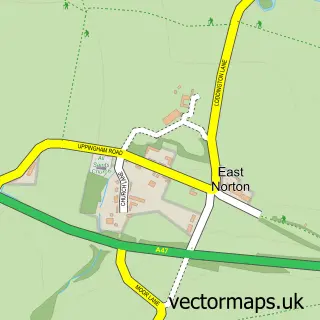
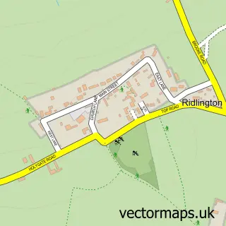
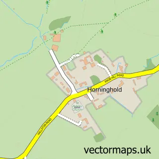
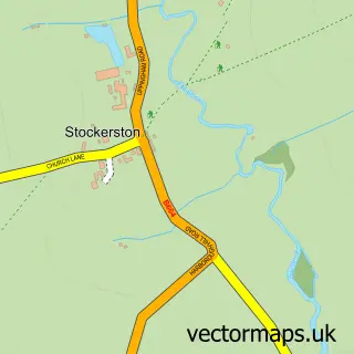
Nearby street map samples around Belton-in-Rutland

More street maps in Rutland
750 metre map area coverage
Boundary, postcode and point of interest information for the 750m x 750m rectangle centred on this sample map.
Boundaries containing map centre
Constituency: Rutland and Stamford Co Const
District: Rutland
Icb: NHS Leicester Leicestershire and Rutland ICB
Parish: Belton-in-Rutland CP
Police Force: leicestershire
Postcode District: LE15
Postcode Sector: LE15 9
Ward: Braunston & Martinsthorpe Ward
Nearby boundaries intersecting sample
No additional intersecting boundaries found.
Postcode coverage
POI category counts
Bed And Breakfast: 2
Pub: 2
Anglican Church: 1
British Restaurant: 1
Flowers And Gifts Shop: 1
Lodge: 1
Nutritionist: 1
Preschool: 1
Printing Services: 1
Retirement Home: 1
Sample points of interest
- St Peter
- Belton Old Rectory
- Old Rectory
- George and Dragon
- Amanda Steele Flowers
- Rutland Rural Retreats
- Therapy with Food
- Belton Pre School
- De Voyle Litho Limited
- The Sun Inn
- The Sun Inn
- Belton House Retirement Home
Create a larger editable map of Belton-in-Rutland
This sample shows only a 750 metre area. To create a larger map of Belton-in-Rutland, use our map builder to choose your own coverage area, add titles and download editable SVG, PDF and PNG files.
Create a custom map of Belton-in-Rutland