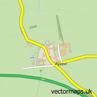
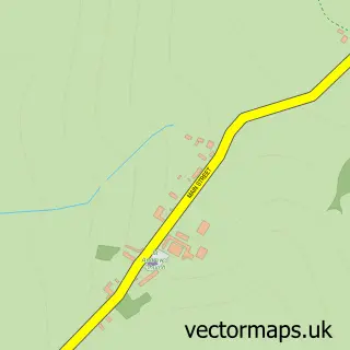
This Uppingham street map is a detailed vector street map covering a 750m x 750m area. Select a larger area to create and download your own vector street map of Uppingham.
The 750-metre map sample for Uppingham covers 336 mapped buildings and approximately 28.9 km of road detail, of which 35 named roads are named. The immediate area includes 2 schools, 1 GP surgery within 2 miles, 5 pubs and 1 MOT station, with 3 within 2 miles. The wider area around Uppingham features 2 tourism points of interest, 13 food and drink venues and 2 hotels. To create a larger or custom map of Uppingham, the map builder lets you define your own coverage area and download editable SVG, PDF and PNG files.
Create a larger editable map of Uppingham
Choose any area you need and generate a high-quality vector map instantly. Perfect for print, planning, design, business and personal use.

This Uppingham street map in Rutland is available as downloadable SVG, PDF and PNG map files, or as a printed map for planning, business, display, education, local information and design work. You can also create a larger custom map area using the map selector.
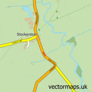
What this Uppingham map sample shows
Uppingham lies within Uppingham Cp parish, part of Uppingham ward in the Rutland local authority area. The postcode geography for this area includes the LE postcode area, the LE15 postcode district and the LE15 9 postcode sector. Residents fall under the Nhs Leicester, Leicestershire And Rutland Integrated Care Board for NHS services.
Local features near Uppingham
Within 2 milesAmenities and services in and around Uppingham.
Administrative and postcode information for Uppingham
Uppingham lies within Uppingham Cp parish, part of Uppingham ward in the Rutland local authority area. The postcode geography for this area includes the LE postcode area, the LE15 postcode district and the LE15 9 postcode sector. Residents fall under the Nhs Leicester, Leicestershire And Rutland Integrated Care Board for NHS services.
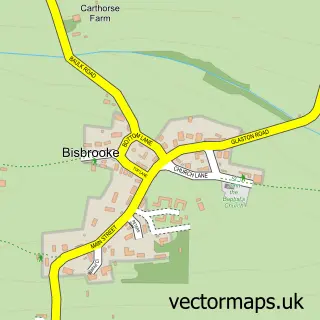
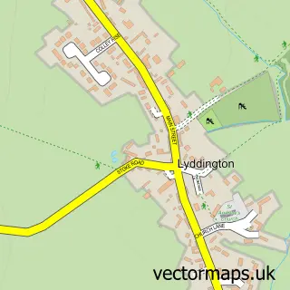
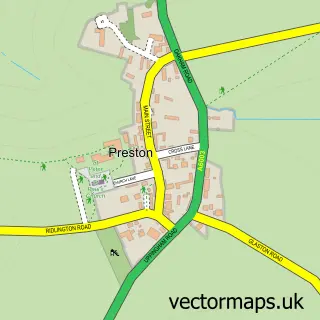
Nearby street map samples around Uppingham

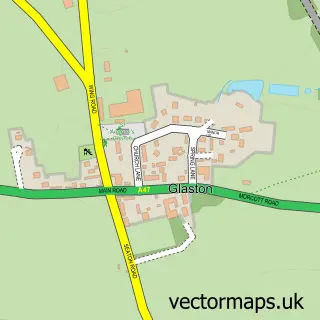
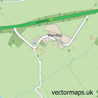
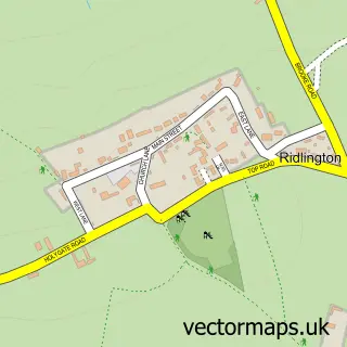
More street maps in Rutland
750 metre map area coverage
Boundary, postcode and point of interest information for the 750m x 750m rectangle centred on this sample map.
Boundaries containing map centre
Constituency: Rutland and Stamford Co Const
District: Rutland
Icb: NHS Leicester Leicestershire and Rutland ICB
Parish: Uppingham CP
Police Force: leicestershire
Postcode District: LE15
Postcode Sector: LE15 9
Ward: Uppingham Ward
Nearby boundaries intersecting sample
No additional intersecting boundaries found.
Postcode coverage
POI category counts
Antique Store: 7
Convenience Store: 7
Art Gallery: 6
Flowers And Gifts Shop: 5
Pub: 5
Beauty Salon: 4
Bookstore: 4
Real Estate Agent: 4
Advertising Agency: 3
Barber: 3
Sample points of interest
- Philip Daulby Financial Management
- Colin Wright Associates
- Cunningham Design
- The Splinter Group
- St Peter & St Paul
- Fostelli Jewels Uppingham
- Garners Fine Art
- Garners Fine Art, Antiques & Interiors
- Rutland Antiques and Art Centre
- The Barn at Uppingham Antique Centre
- Uppingham Antiques Centre
- Vintage Magpie Store
Create a larger editable map of Uppingham
This sample shows only a 750 metre area. To create a larger map of Uppingham, use our map builder to choose your own coverage area, add titles and download editable SVG, PDF and PNG files.
Create a custom map of Uppingham