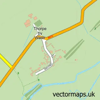
This Glaston street map is a detailed vector street map covering a 750m x 750m area. Select a larger area to create and download your own vector street map of Glaston.
The 750-metre map sample for Glaston covers 83 mapped buildings and approximately 23.0 km of road detail, of which 9 named roads are named. The immediate area includes 1 GP surgery within 2 miles, 1 pub and 4 MOT stations within 2 miles. The wider area around Glaston features 1 food and drink venue, 1 hotel and 1 campsite within 2 miles. To create a larger or custom map of Glaston, the map builder lets you define your own coverage area and download editable SVG, PDF and PNG files.
Create a larger editable map of Glaston
Choose any area you need and generate a high-quality vector map instantly. Perfect for print, planning, design, business and personal use.

This Glaston street map in Rutland is available as downloadable SVG, PDF and PNG map files, or as a printed map for planning, business, display, education, local information and design work. You can also create a larger custom map area using the map selector.
What this Glaston map sample shows
Glaston lies within Glaston Cp parish, part of Lyddington ward in the Rutland local authority area. The postcode geography for this area includes the LE postcode area, the LE15 postcode district and the LE15 9 postcode sector. Residents fall under the Nhs Leicester, Leicestershire And Rutland Integrated Care Board for NHS services.
Local features near Glaston
Within 2 milesAmenities and services in and around Glaston.
Administrative and postcode information for Glaston
Glaston lies within Glaston Cp parish, part of Lyddington ward in the Rutland local authority area. The postcode geography for this area includes the LE postcode area, the LE15 postcode district and the LE15 9 postcode sector. Residents fall under the Nhs Leicester, Leicestershire And Rutland Integrated Care Board for NHS services.
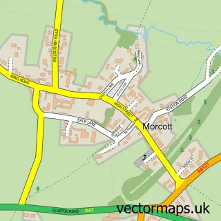
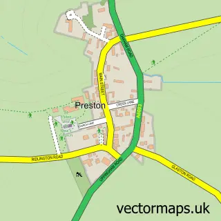
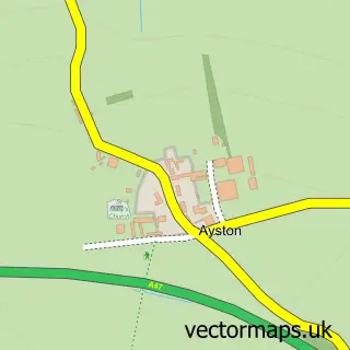
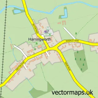
Nearby street map samples around Glaston

More street maps in Rutland
750 metre map area coverage
Boundary, postcode and point of interest information for the 750m x 750m rectangle centred on this sample map.
Boundaries containing map centre
Constituency: Rutland and Stamford Co Const
District: Rutland
Icb: NHS Leicester Leicestershire and Rutland ICB
Parish: Glaston CP
Police Force: leicestershire
Postcode District: LE15
Postcode Sector: LE15 9
Ward: Lyddington Ward
Nearby boundaries intersecting sample
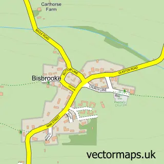
Parish: Bisbrooke CP
Postcode coverage
POI category counts
Employment Agencies: 4
Professional Services: 2
Anglican Church: 1
Arts And Entertainment: 1
Building Supply Store: 1
Education: 1
Financial Advising: 1
Florist: 1
Gym: 1
Hotel: 1
Sample points of interest
- Glaston: St Andrew
- Glaston
- Property Assure
- Quantum NLP
- Mana Education
- Mana Education Supply Agency
- Mana Resourcing
- Mana Resourcing Ltd
- Hemisphere Financial Ltd
- The Hiden Collective
- Heavenly Gym
- Whitwell Hotel & Conference Centre
Create a larger editable map of Glaston
This sample shows only a 750 metre area. To create a larger map of Glaston, use our map builder to choose your own coverage area, add titles and download editable SVG, PDF and PNG files.
Create a custom map of Glaston