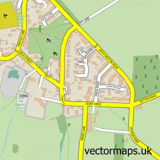
This Morcott street map is a detailed vector street map covering a 750m x 750m area. Select a larger area to create and download your own vector street map of Morcott.
The 750-metre map sample for Morcott covers 155 mapped buildings and approximately 29.4 km of road detail, of which 12 named roads are named. The immediate area includes 1 MOT station, with 2 within 2 miles. The wider area around Morcott features 1 tourism point of interest and 1 campsite within 2 miles. To create a larger or custom map of Morcott, the map builder lets you define your own coverage area and download editable SVG, PDF and PNG files.
Create a larger editable map of Morcott
Choose any area you need and generate a high-quality vector map instantly. Perfect for print, planning, design, business and personal use.

This Morcott street map in Rutland is available as downloadable SVG, PDF and PNG map files, or as a printed map for planning, business, display, education, local information and design work. You can also create a larger custom map area using the map selector.
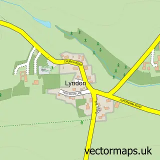
What this Morcott map sample shows
Morcott lies within Morcott Cp parish, part of Braunston & Martinsthorpe ward in the Rutland local authority area. The postcode geography for this area includes the LE postcode area, the LE15 postcode district and the LE15 9 postcode sector. Residents fall under the Nhs Leicester, Leicestershire And Rutland Integrated Care Board for NHS services.
Local features near Morcott
Within 2 milesAmenities and services in and around Morcott.
Administrative and postcode information for Morcott
The local authority covering Morcott is Rutland, within the county of Rutland. The settlement lies within Braunston & Martinsthorpe ward and Morcott Cp civil parish. The LE15 postcode district and LE15 9 postcode sector serve the immediate area. NHS provision in the area is delivered through North West Anglia Nhs Foundation Trust.
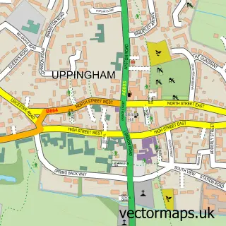
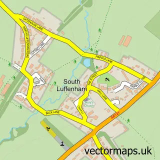
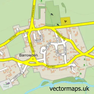
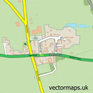
Nearby street map samples around Morcott

More street maps in Rutland
750 metre map area coverage
Boundary, postcode and point of interest information for the 750m x 750m rectangle centred on this sample map.
Boundaries containing map centre
Constituency: Rutland and Stamford Co Const
District: Rutland
Icb: NHS Leicester Leicestershire and Rutland ICB
Parish: Morcott CP
Police Force: leicestershire
Postcode District: LE15
Postcode Sector: LE15 9
Ward: Braunston & Martinsthorpe Ward
Nearby boundaries intersecting sample
Parish: South Luffenham CP
Postcode Sector: LE15 8
Ward: Normanton Ward
Postcode coverage
POI category counts
Gas Station: 3
Automotive Repair: 2
Anglican Church: 1
British Restaurant: 1
Business Consulting: 1
Car Wash: 1
Cards And Stationery Store: 1
Caterer: 1
Convenience Store: 1
It Service And Computer Repair: 1
Sample points of interest
- St Mary the Virgin
- Adams & Sons
- Morcott Tyre & Exhaust Centre
- Country Lounge Restaurant Pizzeria & Bar
- Nimius
- KP Prestige Car Wash
- Scion Design Ltd.
- Rutland Gourmet
- SPAR - Adams & Sons Oakham
- ADAMS & SONS ADAMS GARAGE
- JET
- Jet Petrol Station
Create a larger editable map of Morcott
This sample shows only a 750 metre area. To create a larger map of Morcott, use our map builder to choose your own coverage area, add titles and download editable SVG, PDF and PNG files.
Create a custom map of Morcott