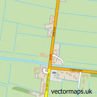
This Benwick street map is a detailed vector street map covering a 750m x 750m area. Select a larger area to create and download your own vector street map of Benwick.
The 750-metre map sample for Benwick covers 276 mapped buildings and approximately 7.0 km of road detail, of which 17 named roads are named. The immediate area includes 1 school and 1 pub. The wider area around Benwick features 2 food and drink venues. To create a larger or custom map of Benwick, the map builder lets you define your own coverage area and download editable SVG, PDF and PNG files.
Create a larger editable map of Benwick
Choose any area you need and generate a high-quality vector map instantly. Perfect for print, planning, design, business and personal use.

This Benwick street map in Cambridgeshire is available as downloadable SVG, PDF and PNG map files, or as a printed map for planning, business, display, education, local information and design work. You can also create a larger custom map area using the map selector.
What this Benwick map sample shows
Benwick lies within Benwick Cp parish, part of Benwick, Coates & Eastrea ward in the Fenland District local authority area. The postcode geography for this area includes the PE postcode area, the PE15 postcode district and the PE15 0 postcode sector. Residents fall under the Nhs Cambridgeshire And Peterborough Integrated Care Board for NHS services.
Local features near Benwick
Within 2 milesAmenities and services in and around Benwick.
Administrative and postcode information for Benwick
The local authority covering Benwick is Fenland District, within the county of Cambridgeshire. The settlement lies within Benwick, Coates & Eastrea ward and Benwick Cp civil parish. The PE15 postcode district and PE15 0 postcode sector serve the immediate area. NHS provision in the area is delivered through North West Anglia Nhs Foundation Trust.
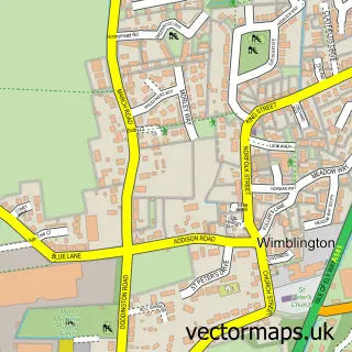
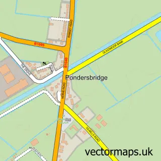
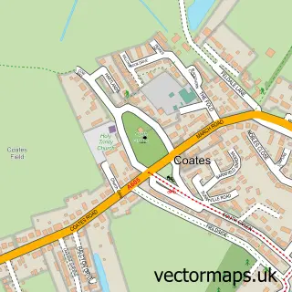
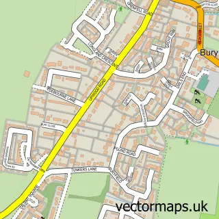
Nearby street map samples around Benwick

More street maps in Cambridgeshire
750 metre map area coverage
Boundary, postcode and point of interest information for the 750m x 750m rectangle centred on this sample map.
Boundaries containing map centre
Constituency: North East Cambridgeshire Co Const
County: Cambridgeshire County
District: Fenland District
Icb: NHS Central East ICB
Parish: Benwick CP
Police Force: cambridgeshire
Postcode District: PE15
Postcode Sector: PE15 0
Ward: March West & Benwick Ward
Nearby boundaries intersecting sample
No additional intersecting boundaries found.
Postcode coverage
POI category counts
Agricultural Service: 1
Anglican Church: 1
Beauty Salon: 1
Business Consulting: 1
Cafe: 1
Community Center: 1
Convenience Store: 1
Driving School: 1
Electrician: 1
Elementary School: 1
Sample points of interest
- Mornios Contract Herdcare
- St Mary The Virgin, Benwick
- Bonitas
- Risk Management Solutions
- The Rustic Corner Cafe
- Benwick Village Hall
- SPAR
- Flying Colours Driving School
- KPS Electrics
- Benwick Primary School
- The Vibe Studio
- Flutterbies Childcare
Create a larger editable map of Benwick
This sample shows only a 750 metre area. To create a larger map of Benwick, use our map builder to choose your own coverage area, add titles and download editable SVG, PDF and PNG files.
Create a custom map of Benwick