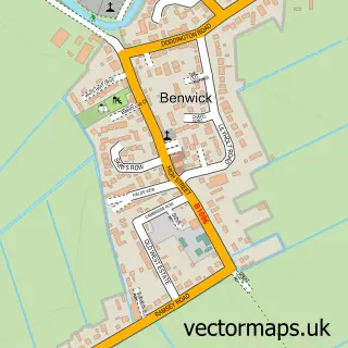
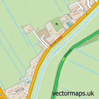
This Wimblington street map is a detailed vector street map covering a 750m x 750m area. Select a larger area to create and download your own vector street map of Wimblington.
The 750-metre map sample for Wimblington covers 421 mapped buildings and approximately 16.0 km of road detail, of which 31 named roads are named. The immediate area includes 1 school, 1 pub and 2 MOT stations within 2 miles. The wider area around Wimblington features 1 tourism point of interest and 1 food and drink venue. To create a larger or custom map of Wimblington, the map builder lets you define your own coverage area and download editable SVG, PDF and PNG files.
Create a larger editable map of Wimblington
Choose any area you need and generate a high-quality vector map instantly. Perfect for print, planning, design, business and personal use.

This Wimblington street map in Cambridgeshire is available as downloadable SVG, PDF and PNG map files, or as a printed map for planning, business, display, education, local information and design work. You can also create a larger custom map area using the map selector.
What this Wimblington map sample shows
Wimblington lies within Wimblington Cp parish, part of Doddington & Wimblington ward in the Fenland District local authority area. The postcode geography for this area includes the PE postcode area, the PE15 postcode district and the PE15 0 postcode sector. Residents fall under the Nhs Cambridgeshire And Peterborough Integrated Care Board for NHS services.
Local features near Wimblington
Within 2 milesAmenities and services in and around Wimblington.
Administrative and postcode information for Wimblington
The local authority covering Wimblington is Fenland District, within the county of Cambridgeshire. The settlement lies within Doddington & Wimblington ward and Wimblington Cp civil parish. The PE15 postcode district and PE15 0 postcode sector serve the immediate area. NHS provision in the area is delivered through North West Anglia Nhs Foundation Trust.
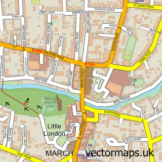
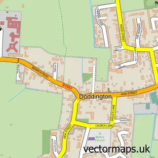
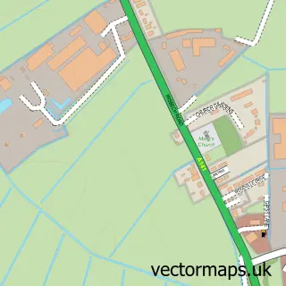
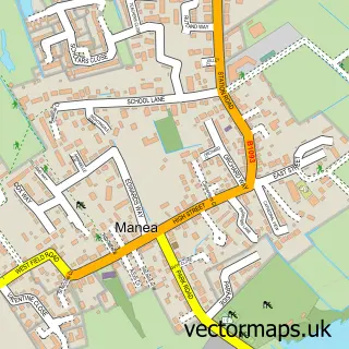
Nearby street map samples around Wimblington

More street maps in Cambridgeshire
750 metre map area coverage
Boundary, postcode and point of interest information for the 750m x 750m rectangle centred on this sample map.
Boundaries containing map centre
Constituency: North East Cambridgeshire Co Const
County: Cambridgeshire County
District: Fenland District
Icb: NHS Central East ICB
Parish: Wimblington CP
Police Force: cambridgeshire
Postcode District: PE15
Postcode Sector: PE15 0
Ward: Doddington & Wimblington Ward
Nearby boundaries intersecting sample
No additional intersecting boundaries found.
Postcode coverage
POI category counts
Post Office: 2
Storage Facility: 2
Anglican Church: 1
Arts And Crafts: 1
Bar: 1
Beauty And Spa: 1
Church Cathedral: 1
Community Center: 1
Convenience Store: 1
Doctor: 1
Sample points of interest
- St Peter’s Church, Wimblington
- JA creations UK
- The Garden Bar Wimbo
- Lashes & More By Emily
- St Peter's Church
- Wimblington Parish Hall
- Premier
- Wimblington Surgery
- Dynamo Dog Walking
- Future Proof Electricals
- A Jones & Son
- Thomas Eaton Community Primary School
Create a larger editable map of Wimblington
This sample shows only a 750 metre area. To create a larger map of Wimblington, use our map builder to choose your own coverage area, add titles and download editable SVG, PDF and PNG files.
Create a custom map of Wimblington