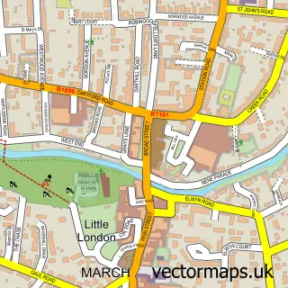
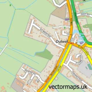
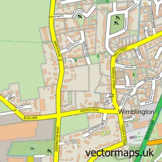
This Christchurch street map is a detailed vector street map covering a 750m x 750m area. Select a larger area to create and download your own vector street map of Christchurch.
The 750-metre map sample for Christchurch covers 206 mapped buildings and approximately 7.2 km of road detail, of which 7 named roads are named. The immediate area includes 1 school and 1 pub. The wider area around Christchurch features 1 food and drink venue. To create a larger or custom map of Christchurch, the map builder lets you define your own coverage area and download editable SVG, PDF and PNG files.
Create a larger editable map of Christchurch
Choose any area you need and generate a high-quality vector map instantly. Perfect for print, planning, design, business and personal use.

This Christchurch street map in Cambridgeshire is available as downloadable SVG, PDF and PNG map files, or as a printed map for planning, business, display, education, local information and design work. You can also create a larger custom map area using the map selector.
What this Christchurch map sample shows
Christchurch lies within Christchurch Cp parish, part of Elm & Christchurch ward in the Fenland District local authority area. The postcode geography for this area includes the PE postcode area, the PE14 postcode district and the PE14 9 postcode sector. Residents fall under the Nhs Cambridgeshire And Peterborough Integrated Care Board for NHS services.
Local features near Christchurch
Within 2 milesAmenities and services in and around Christchurch.
Administrative and postcode information for Christchurch
Christchurch lies within Christchurch Cp parish, part of Elm & Christchurch ward in the Fenland District local authority area. The postcode geography for this area includes the PE postcode area, the PE14 postcode district and the PE14 9 postcode sector. Residents fall under the Nhs Cambridgeshire And Peterborough Integrated Care Board for NHS services.
Nearby street map samples around Christchurch

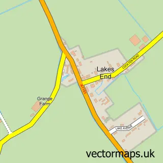
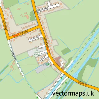
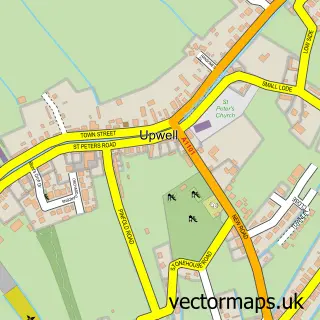
More street maps in Cambridgeshire
750 metre map area coverage
Boundary, postcode and point of interest information for the 750m x 750m rectangle centred on this sample map.
Boundaries containing map centre
Constituency: North East Cambridgeshire Co Const
County: Cambridgeshire County
District: Fenland District
Icb: NHS Central East ICB
Parish: Christchurch CP
Police Force: cambridgeshire
Postcode District: PE14
Postcode Sector: PE14 9
Ward: Elm & Christchurch Ward
Nearby boundaries intersecting sample
Constituency: South West Norfolk Co Const
County: Norfolk County
District: King's Lynn and West Norfolk District (B)
Icb: NHS Norfolk and Waveney ICB
Parish: Upwell CP
Police Force: norfolk
Ward: Upwell & Delph Ward
Postcode coverage
POI category counts
Business To Business Services: 2
Anglican Church: 1
Beauty Salon: 1
Beer Bar: 1
Department Store: 1
Elementary School: 1
Health Coach: 1
Home Cleaning: 1
Kids Recreation And Party: 1
Pub: 1
Sample points of interest
- The Church of Christ, Christchurch
- Beauty Treatment By Jane
- The Duncow Christchurch Cambs
- Green Turtle Web Creations
- Green Turtle Web Creations
- Christchurch Store & Post Office
- Townley Primary School
- The Strength Academy Ltd.
- Scrub-a-dub
- Personal Trainer Fenland
- The Dun Cow
- Christchurch Bowls Club
Create a larger editable map of Christchurch
This sample shows only a 750 metre area. To create a larger map of Christchurch, use our map builder to choose your own coverage area, add titles and download editable SVG, PDF and PNG files.
Create a custom map of Christchurch