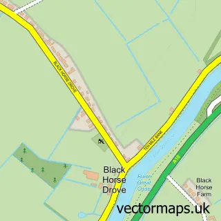
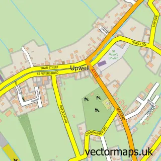
This Welney street map is a detailed vector street map covering a 750m x 750m area. Select a larger area to create and download your own vector street map of Welney.
The 750-metre map sample for Welney covers 170 mapped buildings and approximately 8.4 km of road detail, of which 9 named roads are named. The immediate area includes 1 pub and 1 MOT station within 2 miles. The wider area around Welney features 1 food and drink venue. To create a larger or custom map of Welney, the map builder lets you define your own coverage area and download editable SVG, PDF and PNG files.
Create a larger editable map of Welney
Choose any area you need and generate a high-quality vector map instantly. Perfect for print, planning, design, business and personal use.

This Welney street map in Norfolk is available as downloadable SVG, PDF and PNG map files, or as a printed map for planning, business, display, education, local information and design work. You can also create a larger custom map area using the map selector.
What this Welney map sample shows
Welney lies within Welney Cp parish, part of Upwell & Delph ward in the King's Lynn And West Norfolk District (B) local authority area. The postcode geography for this area includes the PE postcode area, the PE14 postcode district and the PE14 9 postcode sector. Residents fall under the Nhs Norfolk And Waveney Integrated Care Board for NHS services.
Local features near Welney
Within 2 milesAmenities and services in and around Welney.
Administrative and postcode information for Welney
The local authority covering Welney is King's Lynn And West Norfolk District (B), within the county of Norfolk. The settlement lies within Upwell & Delph ward and Welney Cp civil parish. The PE14 postcode district and PE14 9 postcode sector serve the immediate area. NHS provision in the area is delivered through The Queen Elizabeth Hospital, King's Lynn, Nhs Foundation Trust.
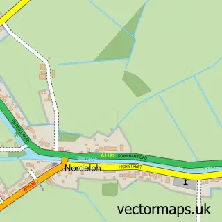
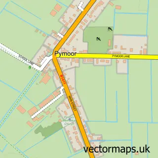
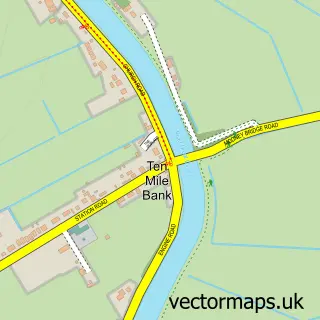
Nearby street map samples around Welney

More street maps in Norfolk
750 metre map area coverage
Boundary, postcode and point of interest information for the 750m x 750m rectangle centred on this sample map.
Boundaries containing map centre
Constituency: South West Norfolk Co Const
County: Norfolk County
District: King's Lynn and West Norfolk District (B)
Icb: NHS Norfolk and Waveney ICB
Parish: Welney CP
Police Force: norfolk
Postcode District: PE14
Postcode Sector: PE14 9
Ward: Upwell & Delph Ward
Nearby boundaries intersecting sample
No additional intersecting boundaries found.
Postcode coverage
POI category counts
Anglican Church: 1
British Restaurant: 1
Building Supply Store: 1
Landscape Architect: 1
Lodge: 1
Photographer: 1
Plumbing: 1
Post Office: 1
Pub: 1
Retirement Home: 1
Sample points of interest
- St Mary the Virgin, Welney
- Lamb & Flag Welney
- REDNETT Scaffolding
- Giles Landscapes
- Marifa Lodge
- Apex Photography
- Knight & Day
- Post Office
- Lamb And Flag
- Delph House
Create a larger editable map of Welney
This sample shows only a 750 metre area. To create a larger map of Welney, use our map builder to choose your own coverage area, add titles and download editable SVG, PDF and PNG files.
Create a custom map of Welney