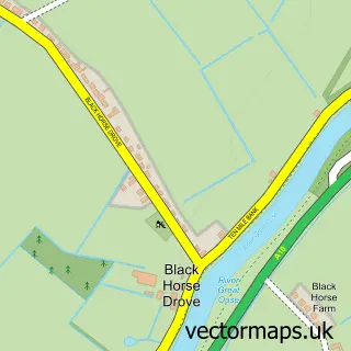
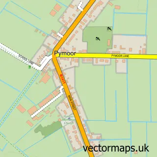
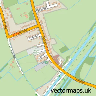
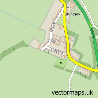
This Littleport street map is a detailed vector street map covering a 750m x 750m area. Select a larger area to create and download your own vector street map of Littleport.
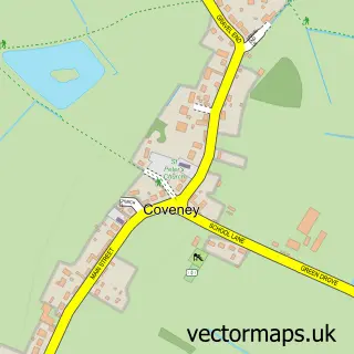
The 750-metre map sample for Littleport covers 655 mapped buildings and approximately 22.3 km of road detail, of which 48 named roads are named. The immediate area includes 1 GP surgery within 2 miles and 1 MOT station, with 4 within 2 miles. The wider area around Littleport features 2 tourism points of interest and 8 food and drink venues. To create a larger or custom map of Littleport, the map builder lets you define your own coverage area and download editable SVG, PDF and PNG files.
Create a larger editable map of Littleport
Choose any area you need and generate a high-quality vector map instantly. Perfect for print, planning, design, business and personal use.

This Littleport street map in Cambridgeshire is available as downloadable SVG, PDF and PNG map files, or as a printed map for planning, business, display, education, local information and design work. You can also create a larger custom map area using the map selector.
What this Littleport map sample shows
Littleport lies within Littleport Cp parish, part of Littleport ward in the East Cambridgeshire District local authority area. The postcode geography for this area includes the CB postcode area, the CB6 postcode district and the CB6 1 postcode sector. Residents fall under the Nhs Cambridgeshire And Peterborough Integrated Care Board for NHS services.
Local features near Littleport
Within 2 milesAmenities and services in and around Littleport.
Administrative and postcode information for Littleport
Littleport lies within Littleport Cp parish, part of Littleport ward in the East Cambridgeshire District local authority area. The postcode geography for this area includes the CB postcode area, the CB6 postcode district and the CB6 1 postcode sector. Residents fall under the Nhs Cambridgeshire And Peterborough Integrated Care Board for NHS services.
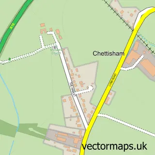
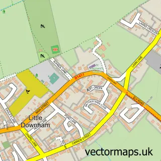
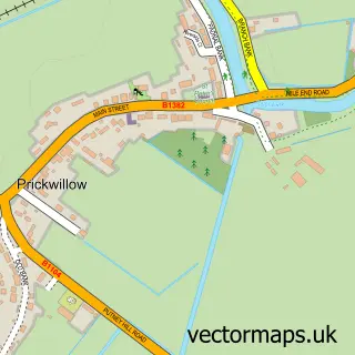
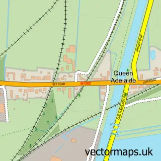
Nearby street map samples around Littleport

More street maps in Cambridgeshire
750 metre map area coverage
Boundary, postcode and point of interest information for the 750m x 750m rectangle centred on this sample map.
Boundaries containing map centre
Constituency: Ely and East Cambridgeshire Co Const
County: Cambridgeshire County
District: East Cambridgeshire District
Icb: NHS Central East ICB
Parish: Littleport CP
Police Force: cambridgeshire
Postcode District: CB6
Postcode Sector: CB6 1
Ward: Littleport Ward
Nearby boundaries intersecting sample
No additional intersecting boundaries found.
Postcode coverage
POI category counts
Beauty Salon: 5
Convenience Store: 4
Food Delivery Service: 4
Hair Salon: 4
Professional Services: 4
Tattoo And Piercing: 4
Assisted Living Facility: 3
Coffee Shop: 3
Driving School: 3
Flowers And Gifts Shop: 3
Sample points of interest
- Telemarketing Matters
- Stantsed Airport
- 365 Care Homes
- Laburnum Lodge
- The Limes
- The Cooperative Food (BF) Littleport, Littleport
- Peacocks Meadow
- Tyres 2 u
- A.G Toft Garage Mobile Mechanic and Transport
- GTR Motors
- The Crown Inn Littleport
- Erika's Barbershop
Create a larger editable map of Littleport
This sample shows only a 750 metre area. To create a larger map of Littleport, use our map builder to choose your own coverage area, add titles and download editable SVG, PDF and PNG files.
Create a custom map of Littleport