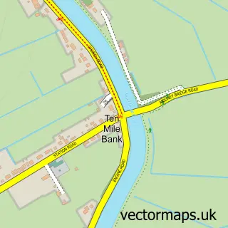
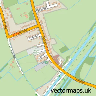
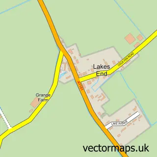
This Black Horse Drove street map is a detailed vector street map covering a 750m x 750m area. Select a larger area to create and download your own vector street map of Black Horse Drove.
The 750-metre map sample for Black Horse Drove covers 63 mapped buildings and approximately 10.7 km of road detail, of which 2 named roads are named. To create a larger or custom map of Black Horse Drove, the map builder lets you define your own coverage area and download editable SVG, PDF and PNG files.
Create a larger editable map of Black Horse Drove
Choose any area you need and generate a high-quality vector map instantly. Perfect for print, planning, design, business and personal use.

This Black Horse Drove street map in Cambridgeshire is available as downloadable SVG, PDF and PNG map files, or as a printed map for planning, business, display, education, local information and design work. You can also create a larger custom map area using the map selector.
What this Black Horse Drove map sample shows
Black Horse Drove lies within Littleport Cp parish, part of Littleport ward in the East Cambridgeshire District local authority area. The postcode geography for this area includes the CB postcode area, the CB6 postcode district and the CB6 1 postcode sector. Residents fall under the Nhs Cambridgeshire And Peterborough Integrated Care Board for NHS services.
Administrative and postcode information for Black Horse Drove
Black Horse Drove lies within Littleport Cp parish, part of Littleport ward in the East Cambridgeshire District local authority area. The postcode geography for this area includes the CB postcode area, the CB6 postcode district and the CB6 1 postcode sector. Residents fall under the Nhs Cambridgeshire And Peterborough Integrated Care Board for NHS services.
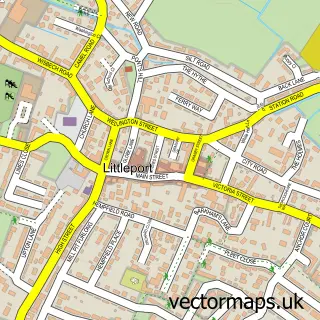
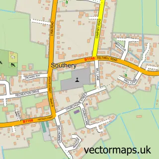
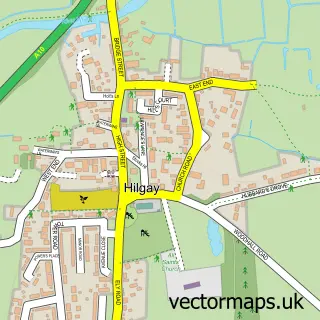
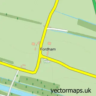
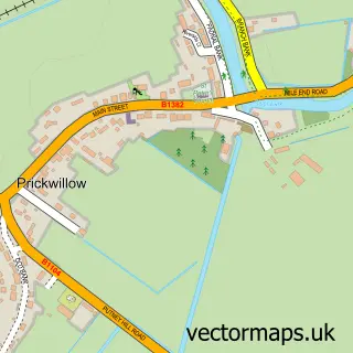
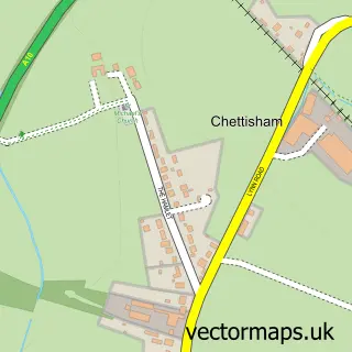
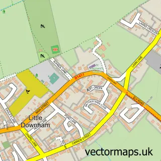
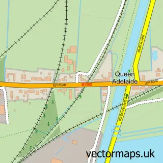
Nearby street map samples around Black Horse Drove

More street maps in Cambridgeshire
750 metre map area coverage
Boundary, postcode and point of interest information for the 750m x 750m rectangle centred on this sample map.
Boundaries containing map centre
Constituency: Ely and East Cambridgeshire Co Const
County: Cambridgeshire County
District: East Cambridgeshire District
Icb: NHS Central East ICB
Parish: Littleport CP
Police Force: cambridgeshire
Postcode District: CB6
Postcode Sector: CB6 1
Ward: Littleport Ward
Nearby boundaries intersecting sample
Postcode District: CB7, PE38
Postcode Sector: CB7 4, PE38 0
Postcode coverage
POI category counts
Community Center: 1
Construction Services: 1
Contractor: 1
Event Technology Service: 1
Key And Locksmith: 1
Pet Breeder: 1
Sample points of interest
- Black Horse Drove Community Centre
- D Silcock Construction
- D Silcock Construction
- Balloons
- Bargate Master Locksmith
- North Fen Poodles
Create a larger editable map of Black Horse Drove
This sample shows only a 750 metre area. To create a larger map of Black Horse Drove, use our map builder to choose your own coverage area, add titles and download editable SVG, PDF and PNG files.
Create a custom map of Black Horse Drove