This Hilgay street map is a detailed vector street map covering a 750m x 750m area. Select a larger area to create and download your own vector street map of Hilgay.
The 750-metre map sample for Hilgay covers 292 mapped buildings and approximately 13.7 km of road detail, of which 22 named roads are named. The immediate area includes 1 school, 1 pub and 1 MOT station within 2 miles. The wider area around Hilgay features 1 food and drink venue and 2 hotels. To create a larger or custom map of Hilgay, the map builder lets you define your own coverage area and download editable SVG, PDF and PNG files.
Create a larger editable map of Hilgay
Choose any area you need and generate a high-quality vector map instantly. Perfect for print, planning, design, business and personal use.

This Hilgay street map in Norfolk is available as downloadable SVG, PDF and PNG map files, or as a printed map for planning, business, display, education, local information and design work. You can also create a larger custom map area using the map selector.
What this Hilgay map sample shows
Hilgay lies within Hilgay Cp parish, part of Denver ward in the King's Lynn And West Norfolk District (B) local authority area. The postcode geography for this area includes the PE postcode area, the PE38 postcode district and the PE38 0 postcode sector. Residents fall under the Nhs Norfolk And Waveney Integrated Care Board for NHS services.
Local features near Hilgay
Within 2 milesAmenities and services in and around Hilgay.
Administrative and postcode information for Hilgay
The local authority covering Hilgay is King's Lynn And West Norfolk District (B), within the county of Norfolk. The settlement lies within Denver ward and Hilgay Cp civil parish. The PE38 postcode district and PE38 0 postcode sector serve the immediate area. NHS provision in the area is delivered through The Queen Elizabeth Hospital, King's Lynn, Nhs Foundation Trust.
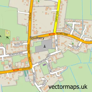
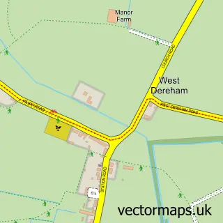
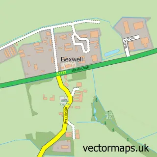
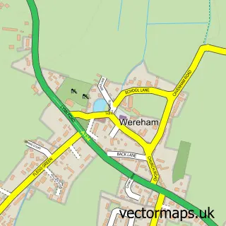
Nearby street map samples around Hilgay


More street maps in Norfolk
750 metre map area coverage
Boundary, postcode and point of interest information for the 750m x 750m rectangle centred on this sample map.
Boundaries containing map centre
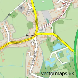
Constituency: South West Norfolk Co Const
County: Norfolk County
District: King's Lynn and West Norfolk District (B)
Icb: NHS Norfolk and Waveney ICB
Parish: Hilgay CP
Police Force: norfolk
Postcode District: PE38
Postcode Sector: PE38 0
Ward: Denver Ward
Nearby boundaries intersecting sample
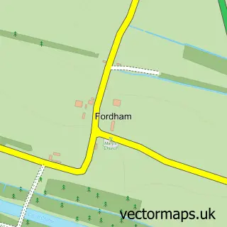
Parish: Fordham CP
Ward: Feltwell Ward
Postcode coverage
POI category counts
Beauty Salon: 2
Hotel: 2
Anglican Church: 1
Automotive Repair: 1
Beauty And Spa: 1
Builders: 1
Building Supply Store: 1
Church Cathedral: 1
Community Center: 1
Contractor: 1
Sample points of interest
- All Saints' Church, Hilgay
- Fairfield Garage
- Nailz & Beauty for You
- Lulabells
- Nikola Chandler Hair
- Steven Seals Builder
- Tasker's Gardening Services
- All Saints Church
- Hilgay Village Hall
- Liquid Screed Pumping
- Hilgay Riverside Academy
- GAC Electrical Services
Create a larger editable map of Hilgay
This sample shows only a 750 metre area. To create a larger map of Hilgay, use our map builder to choose your own coverage area, add titles and download editable SVG, PDF and PNG files.
Create a custom map of Hilgay