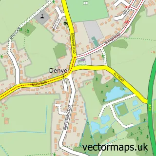
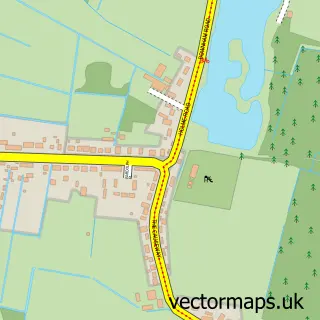
This Downham Market street map is a detailed vector street map covering a 750m x 750m area. Select a larger area to create and download your own vector street map of Downham Market.
The 750-metre map sample for Downham Market covers 456 mapped buildings and approximately 16.1 km of road detail, of which 43 named roads are named. The immediate area includes 3 GP surgeries, 5 pubs and 1 MOT station, with 6 within 2 miles. The wider area around Downham Market features 1 tourism point of interest, 11 food and drink venues and 2 hotels. To create a larger or custom map of Downham Market, the map builder lets you define your own coverage area and download editable SVG, PDF and PNG files.
Create a larger editable map of Downham Market
Choose any area you need and generate a high-quality vector map instantly. Perfect for print, planning, design, business and personal use.

This Downham Market street map in Norfolk is available as downloadable SVG, PDF and PNG map files, or as a printed map for planning, business, display, education, local information and design work. You can also create a larger custom map area using the map selector.
What this Downham Market map sample shows
Downham Market lies within Downham Market Cp parish, part of Downham Old Town ward in the King's Lynn And West Norfolk District (B) local authority area. The postcode geography for this area includes the PE postcode area, the PE38 postcode district and the PE38 9 postcode sector. Residents fall under the Nhs Norfolk And Waveney Integrated Care Board for NHS services.
Local features near Downham Market
Within 2 milesAmenities and services in and around Downham Market.
Administrative and postcode information for Downham Market
Downham Market lies within Downham Market Cp parish, part of Downham Old Town ward in the King's Lynn And West Norfolk District (B) local authority area. The postcode geography for this area includes the PE postcode area, the PE38 postcode district and the PE38 9 postcode sector. Residents fall under the Nhs Norfolk And Waveney Integrated Care Board for NHS services.
Nearby street map samples around Downham Market

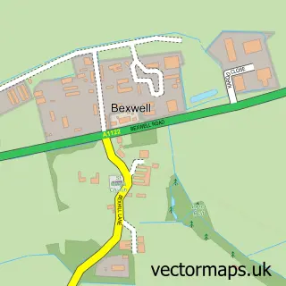
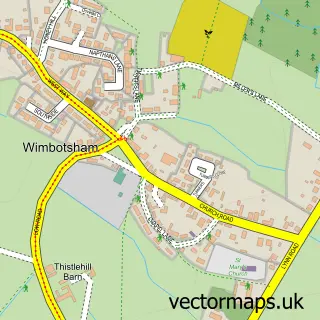
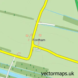

More street maps in Norfolk
750 metre map area coverage
Boundary, postcode and point of interest information for the 750m x 750m rectangle centred on this sample map.
Boundaries containing map centre
Constituency: South West Norfolk Co Const
County: Norfolk County
District: King's Lynn and West Norfolk District (B)
Icb: NHS Norfolk and Waveney ICB
Parish: Downham Market CP
Police Force: norfolk
Postcode District: PE38
Postcode Sector: PE38 9
Ward: Downham Old Town Ward
Nearby boundaries intersecting sample
Ward: East Downham Ward, North Downham Ward, South Downham Ward
Postcode coverage
POI category counts
Beauty Salon: 12
Hair Salon: 9
Professional Services: 8
Real Estate Agent: 8
Automotive Repair: 7
Retail: 6
Tattoo And Piercing: 6
Antique Store: 5
Banks: 5
Pizza Restaurant: 5
Sample points of interest
- Payright Payroll Ltd.
- Stephenson Smart Accountants
- Shining Tree
- Break
- Castle
- Smallbottom
- Sue Ryder Care
- The Chairwoman
- Framin'Art
- Paint Pots
- Rowantree Range
- One Stop Downham (SUMO)
Create a larger editable map of Downham Market
This sample shows only a 750 metre area. To create a larger map of Downham Market, use our map builder to choose your own coverage area, add titles and download editable SVG, PDF and PNG files.
Create a custom map of Downham Market