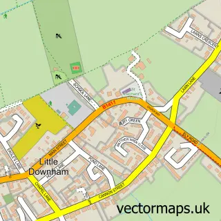
This Manea street map is a detailed vector street map covering a 750m x 750m area. Select a larger area to create and download your own vector street map of Manea.
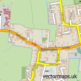
The 750-metre map sample for Manea covers 535 mapped buildings and approximately 12.8 km of road detail, of which 30 named roads are named. The immediate area includes 1 school, 1 GP surgery and 1 pub. The wider area around Manea features 2 food and drink venues. To create a larger or custom map of Manea, the map builder lets you define your own coverage area and download editable SVG, PDF and PNG files.
Create a larger editable map of Manea
Choose any area you need and generate a high-quality vector map instantly. Perfect for print, planning, design, business and personal use.

This Manea street map in Cambridgeshire is available as downloadable SVG, PDF and PNG map files, or as a printed map for planning, business, display, education, local information and design work. You can also create a larger custom map area using the map selector.
What this Manea map sample shows
Manea lies within Manea Cp parish, part of Manea ward in the Fenland District local authority area. The postcode geography for this area includes the PE postcode area, the PE15 postcode district and the PE15 0 postcode sector. Residents fall under the Nhs Cambridgeshire And Peterborough Integrated Care Board for NHS services.
Local features near Manea
Within 2 milesAmenities and services in and around Manea.
Administrative and postcode information for Manea
The local authority covering Manea is Fenland District, within the county of Cambridgeshire. The settlement lies within Manea ward and Manea Cp civil parish. The PE15 postcode district and PE15 0 postcode sector serve the immediate area. NHS provision in the area is delivered through North West Anglia Nhs Foundation Trust.
Nearby street map samples around Manea

More street maps in Cambridgeshire
750 metre map area coverage
Boundary, postcode and point of interest information for the 750m x 750m rectangle centred on this sample map.
Boundaries containing map centre
Constituency: North East Cambridgeshire Co Const
County: Cambridgeshire County
District: Fenland District
Icb: NHS Central East ICB
Parish: Manea CP
Police Force: cambridgeshire
Postcode District: PE15
Postcode Sector: PE15 0
Ward: Chatteris North & Manea Ward
Nearby boundaries intersecting sample
No additional intersecting boundaries found.
Postcode coverage
POI category counts
Accountant: 2
Beauty Salon: 2
Church Cathedral: 2
Convenience Store: 2
Doctor: 2
Atms: 1
Auto Electrical Repair: 1
Automotive Repair: 1
Beauty And Spa: 1
Cafe: 1
Sample points of interest
- A1 Abacus
- L Sindle Tax Advice
- PayPoint
- St. Fire & Security
- M & W Ceramics
- Essential Salon Supplies
- Dream Face By Tess
- Sophisticated Beauty
- No29 - cafe and holiday let
- Brickwork Restoration
- Carrington's Chimneys
- Manea Methodist Church
Create a larger editable map of Manea
This sample shows only a 750 metre area. To create a larger map of Manea, use our map builder to choose your own coverage area, add titles and download editable SVG, PDF and PNG files.
Create a custom map of Manea