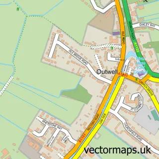
This Friday Bridge street map is a detailed vector street map covering a 750m x 750m area. Select a larger area to create and download your own vector street map of Friday Bridge.
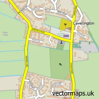
The 750-metre map sample for Friday Bridge covers 278 mapped buildings and approximately 14.2 km of road detail, of which 13 named roads are named. The immediate area includes 3 schools, 1 pub and 2 MOT stations within 2 miles. The wider area around Friday Bridge features 1 tourism point of interest, 1 food and drink venue and 1 hotel. To create a larger or custom map of Friday Bridge, the map builder lets you define your own coverage area and download editable SVG, PDF and PNG files.
Create a larger editable map of Friday Bridge
Choose any area you need and generate a high-quality vector map instantly. Perfect for print, planning, design, business and personal use.

This Friday Bridge street map in Cambridgeshire is available as downloadable SVG, PDF and PNG map files, or as a printed map for planning, business, display, education, local information and design work. You can also create a larger custom map area using the map selector.
What this Friday Bridge map sample shows
Friday Bridge lies within Elm Cp parish, part of Elm & Christchurch ward in the Fenland District local authority area. The postcode geography for this area includes the PE postcode area, the PE14 postcode district and the PE14 0 postcode sector. Residents fall under the Nhs Cambridgeshire And Peterborough Integrated Care Board for NHS services.
Local features near Friday Bridge
Within 2 milesAmenities and services in and around Friday Bridge.
Administrative and postcode information for Friday Bridge
Friday Bridge lies within Elm Cp parish, part of Elm & Christchurch ward in the Fenland District local authority area. The postcode geography for this area includes the PE postcode area, the PE14 postcode district and the PE14 0 postcode sector. Residents fall under the Nhs Cambridgeshire And Peterborough Integrated Care Board for NHS services.
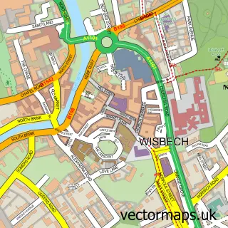
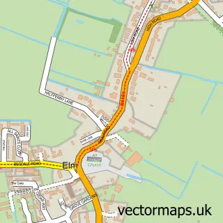
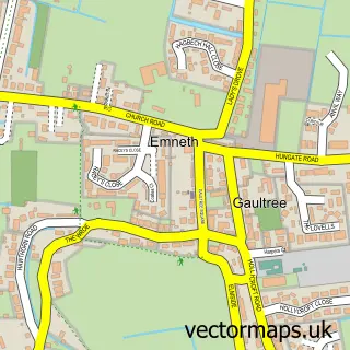
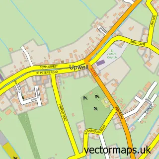
Nearby street map samples around Friday Bridge

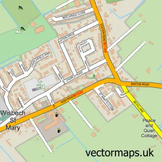
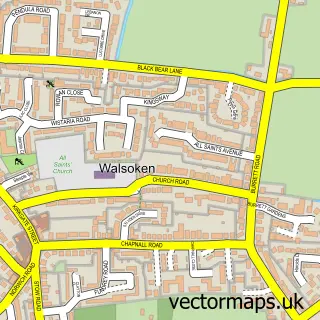
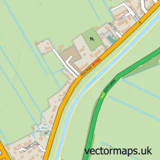
More street maps in Cambridgeshire
750 metre map area coverage
Boundary, postcode and point of interest information for the 750m x 750m rectangle centred on this sample map.
Boundaries containing map centre
Constituency: North East Cambridgeshire Co Const
County: Cambridgeshire County
District: Fenland District
Icb: NHS Central East ICB
Parish: Elm CP
Police Force: cambridgeshire
Postcode District: PE14
Postcode Sector: PE14 0
Ward: Elm & Christchurch Ward
Nearby boundaries intersecting sample
No additional intersecting boundaries found.
Postcode coverage
POI category counts
Elementary School: 3
Education: 2
Anglican Church: 1
Church Cathedral: 1
Convenience Store: 1
Corporate Entertainment Services: 1
Electronics: 1
Fish And Chips Restaurant: 1
Home Service: 1
Hotel: 1
Sample points of interest
- St Mark's
- St Mark's, Friday Bridge
- Premier Friday Bridge Convenience Store
- Cyber-tech Robots
- 4d Care
- Fenland Ju-Jitsu Academy
- Paul's TV & Video
- Friday Bridge Community Primary School
- Friday Bridge Primary School
- The Old School House
- Friday Bridge Fish Bar
- Jack and Jill Playgroup Friday Bridge
Create a larger editable map of Friday Bridge
This sample shows only a 750 metre area. To create a larger map of Friday Bridge, use our map builder to choose your own coverage area, add titles and download editable SVG, PDF and PNG files.
Create a custom map of Friday Bridge