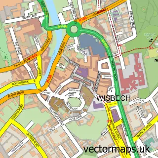
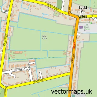
This Leverington street map is a detailed vector street map covering a 750m x 750m area. Select a larger area to create and download your own vector street map of Leverington.
The 750-metre map sample for Leverington covers 316 mapped buildings and approximately 9.7 km of road detail, of which 18 named roads are named. The immediate area includes 1 school, 3 GP surgeries within 2 miles, 1 pub and 1 MOT station, with 11 within 2 miles. The wider area around Leverington features 1 tourism point of interest, 1 food and drink venue and 1 campsite within 2 miles. To create a larger or custom map of Leverington, the map builder lets you define your own coverage area and download editable SVG, PDF and PNG files.
Create a larger editable map of Leverington
Choose any area you need and generate a high-quality vector map instantly. Perfect for print, planning, design, business and personal use.

This Leverington street map in Cambridgeshire is available as downloadable SVG, PDF and PNG map files, or as a printed map for planning, business, display, education, local information and design work. You can also create a larger custom map area using the map selector.
What this Leverington map sample shows
Leverington lies within Leverington Cp parish, part of Roman Bank ward in the Fenland District local authority area. The postcode geography for this area includes the PE postcode area, the PE13 postcode district and the PE13 5 postcode sector. Residents fall under the Nhs Cambridgeshire And Peterborough Integrated Care Board for NHS services.
Local features near Leverington
Within 2 milesAmenities and services in and around Leverington.
Administrative and postcode information for Leverington
Leverington lies within Leverington Cp parish, part of Roman Bank ward in the Fenland District local authority area. The postcode geography for this area includes the PE postcode area, the PE13 postcode district and the PE13 5 postcode sector. Residents fall under the Nhs Cambridgeshire And Peterborough Integrated Care Board for NHS services.
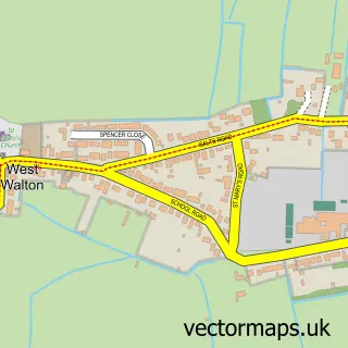
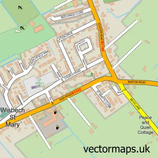
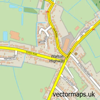
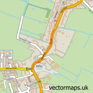
Nearby street map samples around Leverington

More street maps in Cambridgeshire
750 metre map area coverage
Boundary, postcode and point of interest information for the 750m x 750m rectangle centred on this sample map.
Boundaries containing map centre
Constituency: North East Cambridgeshire Co Const
County: Cambridgeshire County
District: Fenland District
Icb: NHS Central East ICB
Parish: Leverington CP
Police Force: cambridgeshire
Postcode District: PE13
Postcode Sector: PE13 5
Ward: Leverington & Wisbech Rural Ward
Nearby boundaries intersecting sample
No additional intersecting boundaries found.
Postcode coverage
POI category counts
Automotive Repair: 2
Barber: 2
Church Cathedral: 2
Gutter Service: 2
Professional Services: 2
Anglican Church: 1
Animal Shelter: 1
Architectural Designer: 1
Auto Body Shop: 1
Beauty Salon: 1
Sample points of interest
- St Leonard's
- Staffordshire Bull Terrier Rescue
- Fendraw Design & Planning
- Look Smart Car Body Repair
- AB Classics
- Belvedere garage
- Clarke’s cuts
- Shephard Barbers
- Amys Nails and Beauty
- D Hill Carpenters
- Stepping Stones Pre-School
- St Leonards Church
Create a larger editable map of Leverington
This sample shows only a 750 metre area. To create a larger map of Leverington, use our map builder to choose your own coverage area, add titles and download editable SVG, PDF and PNG files.
Create a custom map of Leverington