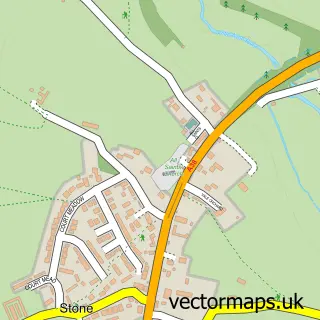
This Berkeley street map is a detailed vector street map covering a 750m x 750m area. Select a larger area to create and download your own vector street map of Berkeley.
The 750-metre map sample for Berkeley covers 347 mapped buildings and approximately 11.8 km of road detail, of which 26 named roads are named. The immediate area includes 1 school, 2 pubs and 1 MOT station, with 2 within 2 miles. The wider area around Berkeley features 7 tourism points of interest, 4 food and drink venues and 2 hotels. To create a larger or custom map of Berkeley, the map builder lets you define your own coverage area and download editable SVG, PDF and PNG files.
Create a larger editable map of Berkeley
Choose any area you need and generate a high-quality vector map instantly. Perfect for print, planning, design, business and personal use.

This Berkeley street map in Gloucestershire is available as downloadable SVG, PDF and PNG map files, or as a printed map for planning, business, display, education, local information and design work. You can also create a larger custom map area using the map selector.
What this Berkeley map sample shows
Berkeley lies within Berkeley Cp parish, part of Berkeley Vale ward in the Stroud District local authority area. The postcode geography for this area includes the GL postcode area, the GL13 postcode district and the GL13 9 postcode sector. Residents fall under the Nhs Gloucestershire Integrated Care Board for NHS services.
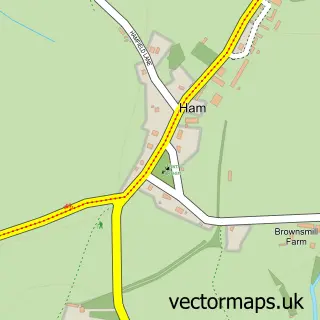
Local features near Berkeley
Within 2 milesAmenities and services in and around Berkeley.
Administrative and postcode information for Berkeley
The local authority covering Berkeley is Stroud District, within the county of Gloucestershire. The settlement lies within Berkeley Vale ward and Berkeley Cp civil parish. The GL13 postcode district and GL13 9 postcode sector serve the immediate area. NHS provision in the area is delivered through Gloucestershire Hospitals Nhs Foundation Trust.
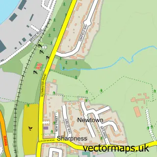
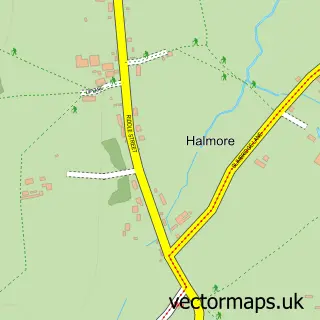
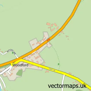
Nearby street map samples around Berkeley


More street maps in Gloucestershire
750 metre map area coverage
Boundary, postcode and point of interest information for the 750m x 750m rectangle centred on this sample map.
Boundaries containing map centre
Constituency: Stroud Co Const
County: Gloucestershire County
District: Stroud District
Icb: NHS Gloucestershire ICB
Parish: Berkeley CP
Police Force: gloucestershire
Postcode District: GL13
Postcode Sector: GL13 9
Ward: Berkeley Vale Ward
Nearby boundaries intersecting sample
Parish: Ham and Stone CP, Hamfallow CP
Postcode coverage
POI category counts
Building Supply Store: 5
Museum: 5
Church Cathedral: 4
Doctor: 4
Hair Salon: 4
Retail: 4
Banks: 3
Professional Services: 3
Automotive Repair: 2
Beauty And Spa: 2
Sample points of interest
- Bengough's Annexe
- Mensis Accountants
- Berkeley: St Mary the Virgin
- Digital Planit
- TomatoJack Arts
- La Lune Art Studio
- Karenza
- Dursley Diagnostics – Quantum Tuning Dealer
- Berkeley Garage
- Green Lane Garage Berkeley
- Berkeley Bakery Shop
- NatWest
Create a larger editable map of Berkeley
This sample shows only a 750 metre area. To create a larger map of Berkeley, use our map builder to choose your own coverage area, add titles and download editable SVG, PDF and PNG files.
Create a custom map of Berkeley