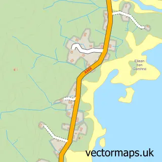
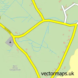
This Bàgh a' Chaisteil street map is a detailed vector street map covering a 750m x 750m area. Select a larger area to create and download your own vector street map of Bàgh a' Chaisteil.
The 750-metre map sample for Bàgh a' Chaisteil covers 49 mapped buildings and approximately 6.1 km of road detail, of which 1 named road are named. The immediate area includes 1 GP surgery. The wider area around Bàgh a' Chaisteil features 3 tourism points of interest, 4 food and drink venues and 3 hotels. To create a larger or custom map of Bàgh a' Chaisteil, the map builder lets you define your own coverage area and download editable SVG, PDF and PNG files.
Create a larger editable map of Bàgh a' Chaisteil
Choose any area you need and generate a high-quality vector map instantly. Perfect for print, planning, design, business and personal use.

This Bàgh a' Chaisteil street map in Western Isles is available as downloadable SVG, PDF and PNG map files, or as a printed map for planning, business, display, education, local information and design work. You can also create a larger custom map area using the map selector.
What this Bàgh a' Chaisteil map sample shows
Bàgh a' Chaisteil lies within Na H-Eileanan An Iar parish, part of Barraigh, Bhatarsaigh, Eirisgeigh Agus Uibhist A Deas ward in the Na H-Eileanan An Iar local authority area. The postcode geography for this area includes the HS postcode area, the HS9 postcode district and the HS9 5 postcode sector. Residents fall under the Western Isles for NHS services.
Local features near Bàgh a' Chaisteil
Within 2 milesAmenities and services in and around Bàgh a' Chaisteil.
Administrative and postcode information for Bàgh a' Chaisteil
The local authority covering Bàgh a' Chaisteil is Na H-Eileanan An Iar, within the county of Western Isles. The settlement lies within Barraigh, Bhatarsaigh, Eirisgeigh Agus Uibhist A Deas ward and Na H-Eileanan An Iar civil parish. The HS9 postcode district and HS9 5 postcode sector serve the immediate area. NHS provision in the area is delivered through Western Isles.
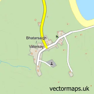
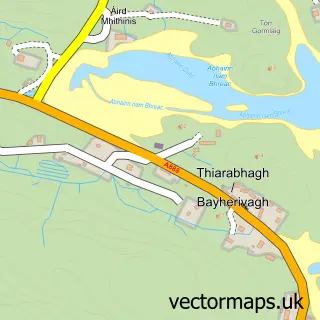
Nearby street map samples around Bàgh a' Chaisteil

More street maps in Western Isles
750 metre map area coverage
Boundary, postcode and point of interest information for the 750m x 750m rectangle centred on this sample map.
Boundaries containing map centre
Constituency: Na h-Eileanan an Iar Co Const
District: Na h-Eileanan an Iar
Icb: Western Isles
Postcode District: HS9
Postcode Sector: HS9 5
Ward: Barraigh agus Bhatarsaigh Ward
Nearby boundaries intersecting sample
No additional intersecting boundaries found.
Postcode coverage
POI category counts
Coffee Shop: 3
Hotel: 3
Post Office: 3
Bed And Breakfast: 2
Community Center: 2
Convenience Store: 2
Grocery Store: 2
Bank Credit Union: 1
Banks: 1
Beauty Salon: 1
Sample points of interest
- RBS Castlebay
- Royal Bank of Scotland
- Beauty Republic
- Hillside Bed & Breakfast, Isle of Barra
- Tigh Na Mara
- Mingulay Boat Trips
- Hebridean Toffee
- Kisimul Castle
- Church of our Lady, Star of the Sea
- Kisimul Cafe
- Kisimul Cafe
- Toffee Shop
Create a larger editable map of Bàgh a' Chaisteil
This sample shows only a 750 metre area. To create a larger map of Bàgh a' Chaisteil, use our map builder to choose your own coverage area, add titles and download editable SVG, PDF and PNG files.
Create a custom map of Bàgh a' Chaisteil