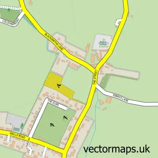
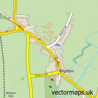
This Binham street map is a detailed vector street map covering a 750m x 750m area. Select a larger area to create and download your own vector street map of Binham.
The 750-metre map sample for Binham covers 132 mapped buildings and approximately 19.2 km of road detail, of which 10 named roads are named. The immediate area includes 1 pub. The wider area around Binham features 1 tourism point of interest and 2 food and drink venues. To create a larger or custom map of Binham, the map builder lets you define your own coverage area and download editable SVG, PDF and PNG files.
Create a larger editable map of Binham
Choose any area you need and generate a high-quality vector map instantly. Perfect for print, planning, design, business and personal use.

This Binham street map in Norfolk is available as downloadable SVG, PDF and PNG map files, or as a printed map for planning, business, display, education, local information and design work. You can also create a larger custom map area using the map selector.
What this Binham map sample shows
Binham lies within Binham Cp parish, part of Priory ward in the North Norfolk District local authority area. The postcode geography for this area includes the NR postcode area, the NR21 postcode district and the NR21 0 postcode sector. Residents fall under the Nhs Norfolk And Waveney Integrated Care Board for NHS services.
Local features near Binham
Within 2 milesAmenities and services in and around Binham.
Administrative and postcode information for Binham
Binham lies within Binham Cp parish, part of Priory ward in the North Norfolk District local authority area. The postcode geography for this area includes the NR postcode area, the NR21 postcode district and the NR21 0 postcode sector. Residents fall under the Nhs Norfolk And Waveney Integrated Care Board for NHS services.
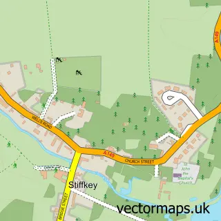
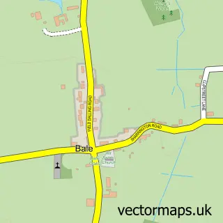
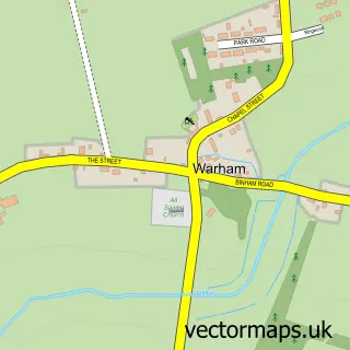
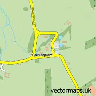
Nearby street map samples around Binham

More street maps in Norfolk
750 metre map area coverage
Boundary, postcode and point of interest information for the 750m x 750m rectangle centred on this sample map.
Boundaries containing map centre
Constituency: North Norfolk Co Const
County: Norfolk County
District: North Norfolk District
Icb: NHS Norfolk and Waveney ICB
Parish: Binham CP
Police Force: norfolk
Postcode District: NR21
Postcode Sector: NR21 0
Ward: Priory Ward
Nearby boundaries intersecting sample
No additional intersecting boundaries found.
Postcode coverage
POI category counts
Monument: 2
Attractions And Activities: 1
Beach Equipment Rentals: 1
Building Supply Store: 1
Cafe: 1
Church Cathedral: 1
Dairy Farm: 1
Electrician: 1
Farm: 1
Holiday Rental Home: 1
Sample points of interest
- Binham Market Cross
- J T Plant Hire
- P J Electrics Ltd
- The Parlour
- Binham Priory
- Abbey Farm Dairy
- P J Electrics Ltd
- Top Farm Egg Shop
- The Chapel at Binham
- Chequers Inn
- Binham Market Cross
- Binham Priory
Create a larger editable map of Binham
This sample shows only a 750 metre area. To create a larger map of Binham, use our map builder to choose your own coverage area, add titles and download editable SVG, PDF and PNG files.
Create a custom map of Binham