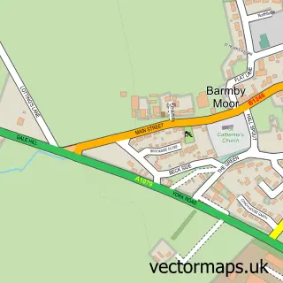
This Bishop Wilton street map is a detailed vector street map covering a 750m x 750m area. Select a larger area to create and download your own vector street map of Bishop Wilton.
The 750-metre map sample for Bishop Wilton covers 190 mapped buildings and approximately 16.4 km of road detail, of which 13 named roads are named. The immediate area includes 1 school and 2 pubs. The wider area around Bishop Wilton features 1 tourism point of interest and 2 food and drink venues. To create a larger or custom map of Bishop Wilton, the map builder lets you define your own coverage area and download editable SVG, PDF and PNG files.
Create a larger editable map of Bishop Wilton
Choose any area you need and generate a high-quality vector map instantly. Perfect for print, planning, design, business and personal use.

This Bishop Wilton street map in East Riding of Yorkshire is available as downloadable SVG, PDF and PNG map files, or as a printed map for planning, business, display, education, local information and design work. You can also create a larger custom map area using the map selector.
What this Bishop Wilton map sample shows
Bishop Wilton lies within Bishop Wilton Cp parish, part of Wolds Weighton ward in the East Riding Of Yorkshire local authority area. The postcode geography for this area includes the YO postcode area, the YO42 postcode district and the YO42 1 postcode sector. Residents fall under the Nhs Humber And North Yorkshire Integrated Care Board for NHS services.
Local features near Bishop Wilton
Within 2 milesAmenities and services in and around Bishop Wilton.
Administrative and postcode information for Bishop Wilton
The local authority covering Bishop Wilton is East Riding Of Yorkshire, within the county of East Riding Of Yorkshire. The settlement lies within Wolds Weighton ward and Bishop Wilton Cp civil parish. The YO42 postcode district and YO42 1 postcode sector serve the immediate area. NHS provision in the area is delivered through York And Scarborough Teaching Hospitals Nhs Foundation Trust.
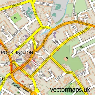
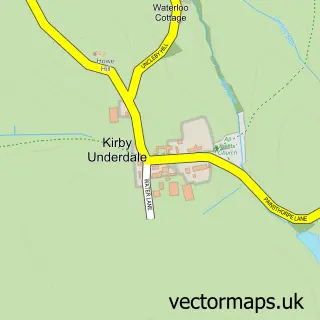
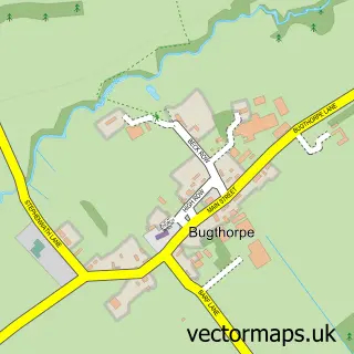
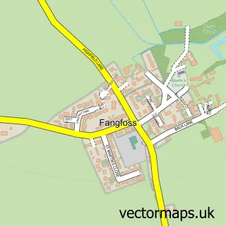
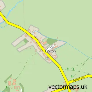
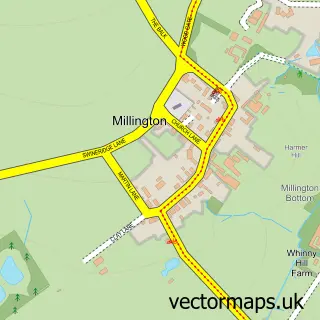
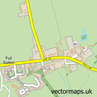
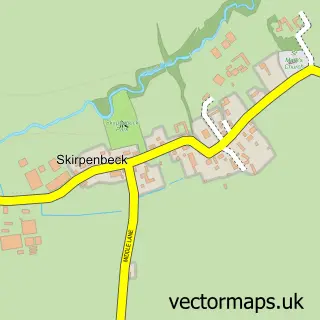
Nearby street map samples around Bishop Wilton

More street maps in East Riding of Yorkshire
750 metre map area coverage
Boundary, postcode and point of interest information for the 750m x 750m rectangle centred on this sample map.
Boundaries containing map centre
Constituency: Bridlington and The Wolds Co Const
District: East Riding of Yorkshire
Icb: NHS Humber and North Yorkshire ICB
Parish: Bishop Wilton CP
Police Force: humberside
Postcode District: YO42
Postcode Sector: YO42 1
Ward: Wolds Weighton Ward
Nearby boundaries intersecting sample
No additional intersecting boundaries found.
Postcode coverage
POI category counts
Post Office: 3
Marketing Agency: 2
Pub: 2
Advertising Agency: 1
Archaeological Services: 1
Arts And Crafts: 1
Attractions And Activities: 1
Business Management Services: 1
Car Rental Agency: 1
Church Cathedral: 1
Sample points of interest
- Approved Instructor Marketing
- York Osteoarchaeology Ltd
- Memorie in a Bear
- Bishop Wilton Village Hall And Playing Fields Association
- Pollen Studio
- VW Campervan Hire
- St Edith's Church
- Bishop Wilton Community Shop & Cafe
- Ainsty Gymnastics & Trampolining Club
- The Old Chapel
- Fairfield Stables
- Approved Instructor Marketing
Create a larger editable map of Bishop Wilton
This sample shows only a 750 metre area. To create a larger map of Bishop Wilton, use our map builder to choose your own coverage area, add titles and download editable SVG, PDF and PNG files.
Create a custom map of Bishop Wilton