Vector Maps logo
Home Why it works Popular maps Districts Samples Customizer Create Your Map
VectorMaps.uk
Home Popular maps Districts Samples Customizer Create Your Map Privacy Disclaimer
Home / UK Maps / East Riding of Yorkshire / Full Sutton Map

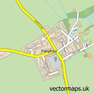
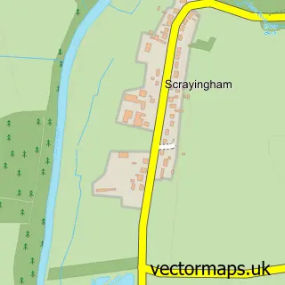
This Full Sutton street map is a detailed vector street map covering a 750m x 750m area. Select a larger area to create and download your own vector street map of Full Sutton.

Full Sutton is a village in East Riding Of Yorkshire, in the Yorkshire And The Humber of England. Historically, the area formed part of Yorkshire. The settlement falls within the East Yorkshire parliamentary constituency. It is served by the YO41 postcode

The 750-metre map sample for Full Sutton covers 132 mapped buildings and approximately 6.1 km of road detail, of which 7 named roads are named. The immediate area includes 1 MOT station within 2 miles. The wider area around Full Sutton features 1 hotel and 1 campsite within 2 miles. To create a larger or custom map of Full Sutton, the map builder lets you define your own coverage area and download editable SVG, PDF and PNG files.

132Buildings
6.08 kmRoads
7Named roads
1,670Residents within 2 miles
Create your own

Create a larger editable map of Full Sutton

Choose any area you need and generate a high-quality vector map instantly. Perfect for print, planning, design, business and personal use.

Choose any location
Editable SVG files
Any size up to A0
PDF, PNG & more
Instant download
High quality guaranteed
Create My Custom Map
Secure, private & no credit card required
Full Sutton Vector Street Map
750m Sample
Full Sutton vector street map sample showing roads, buildings and local features in a 750 metre preview area
Buy Full Sutton Map Print from £12.95 Buy Full Sutton Digital Map from £6

This Full Sutton street map in East Riding of Yorkshire is available as downloadable SVG, PDF and PNG map files, or as a printed map for planning, business, display, education, local information and design work. You can also create a larger custom map area using the map selector.

What this Full Sutton map sample shows

Full Sutton lies within Full Sutton Cp parish, part of Wolds Weighton ward in the East Riding Of Yorkshire local authority area. The postcode geography for this area includes the YO postcode area, the YO41 postcode district and the YO41 1 postcode sector. Residents fall under the Nhs Humber And North Yorkshire Integrated Care Board for NHS services.

Local features near Full Sutton

Within 2 miles

Amenities and services in and around Full Sutton.

1 Campsites within 2 miles
1 MOT stations within 2 miles
1 Hotels

Counts are approximate and based on publicly available data.

Administrative and postcode information for Full Sutton

Full Sutton lies within Full Sutton Cp parish, part of Wolds Weighton ward in the East Riding Of Yorkshire local authority area. The postcode geography for this area includes the YO postcode area, the YO41 postcode district and the YO41 1 postcode sector. Residents fall under the Nhs Humber And North Yorkshire Integrated Care Board for NHS services.

Parish Full Sutton CP
Ward Wolds Weighton
District / local authority East Riding of Yorkshire
County East Riding of Yorkshire
Historic county Yorkshire
Postcode district YO41
Postcode sector YO41 1
Parliamentary constituency East Yorkshire
Region Yorkshire and the Humber
Country England

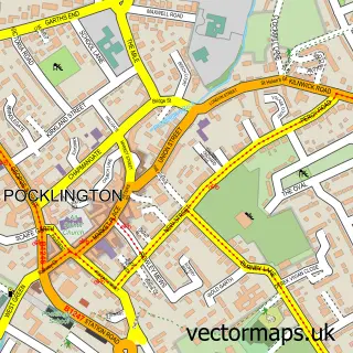
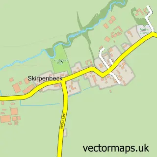
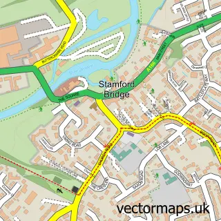
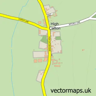
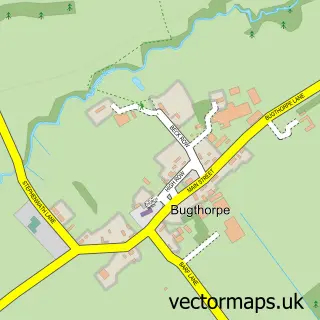
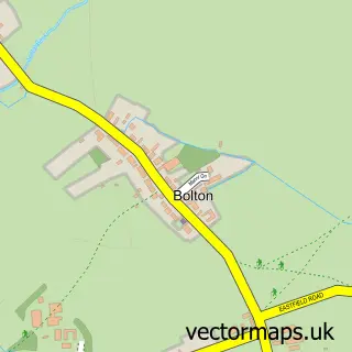
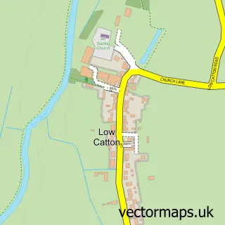
Nearby street map samples around Full Sutton

Street map sample of Pocklington, East Riding of Yorkshire Pocklington Town - East Riding of Yorkshire - 5.4 miles Street map sample of York, North Yorkshire York City - North Yorkshire - 9.1 miles Street map sample of Skirpenbeck, East Riding of Yorkshire Skirpenbeck Village - East Riding of Yorkshire - 1.0 miles Street map sample of Fangfoss, East Riding of Yorkshire Fangfoss Village - East Riding of Yorkshire - 1.8 miles Street map sample of Stamford Bridge, East Riding of Yorkshire Stamford Bridge Village - East Riding of Yorkshire - 2.0 miles Street map sample of High Catton, East Riding of Yorkshire High Catton Village - East Riding of Yorkshire - 2.1 miles Street map sample of Bugthorpe, East Riding of Yorkshire Bugthorpe Village - East Riding of Yorkshire - 2.3 miles Street map sample of Bolton, East Riding of Yorkshire Bolton Village - East Riding of Yorkshire - 2.5 miles Street map sample of Low Catton, East Riding of Yorkshire Low Catton Village - East Riding of Yorkshire - 2.7 miles Street map sample of Scrayingham, North Yorkshire Scrayingham Village - North Yorkshire - 3.0 miles

More street maps in East Riding of Yorkshire

Street map sample of Skirpenbeck, East Riding of Yorkshire Skirpenbeck Village - 1.0 miles Street map sample of Fangfoss, East Riding of Yorkshire Fangfoss Village - 1.8 miles Street map sample of Stamford Bridge, East Riding of Yorkshire Stamford Bridge Village - 2.0 miles Street map sample of High Catton, East Riding of Yorkshire High Catton Village - 2.1 miles Street map sample of Bugthorpe, East Riding of Yorkshire Bugthorpe Village - 2.3 miles

750 metre map area coverage

Boundary, postcode and point of interest information for the 750m x 750m rectangle centred on this sample map.

Boundaries containing map centre

Constituency: Bridlington and The Wolds Co Const

District: East Riding of Yorkshire

Icb: NHS Humber and North Yorkshire ICB

Parish: Full Sutton CP

Police Force: humberside

Postcode District: YO41

Postcode Sector: YO41 1

Ward: Wolds Weighton Ward

Nearby boundaries intersecting sample

No additional intersecting boundaries found.

Postcode coverage

YO41 YO41 1

POI category counts

Anglican Church: 1

Automotive: 1

Beauty Salon: 1

Building Supply Store: 1

Event Photography: 1

Flight School: 1

Home Cleaning: 1

Professional Services: 1

Rv Park: 1

Storage Facility: 1

Sample points of interest

  • St Mary Full Sutton Anglican Church
  • Driveway Mechanic York Automotive
  • MamaLippys Beauty and Colour Beauty Salon
  • Wise Energy Building Supply Store
  • York Photography Studio Event Photography
  • Full Sutton Flying Centre Flight School
  • Ultraclean Home Cleaning
  • Storplan Racking Professional Services
  • Street Farm Caravan Park Rv Park
  • Abacus Removals Storage Facility
  • York Yoga Studio Yoga Studio

Create a larger editable map of Full Sutton

This sample shows only a 750 metre area. To create a larger map of Full Sutton, use our map builder to choose your own coverage area, add titles and download editable SVG, PDF and PNG files.

Create a custom map of Full Sutton

Phone 01751 473136 | Copyright Vectormaps.uk 2026

Samples Customizer Privacy Disclaimer
Full Sutton Vector Street Map
Full Sutton enlarged street map sample showing a 750 metre preview area