This Stamford Bridge street map is a detailed vector street map covering a 750m x 750m area. Select a larger area to create and download your own vector street map of Stamford Bridge.
The 750-metre map sample for Stamford Bridge covers 491 mapped buildings and approximately 17.6 km of road detail, of which 44 named roads are named. The immediate area includes 1 school, 1 pub and 1 MOT station within 2 miles. The wider area around Stamford Bridge features 4 tourism points of interest, 4 food and drink venues and 1 hotel. To create a larger or custom map of Stamford Bridge, the map builder lets you define your own coverage area and download editable SVG, PDF and PNG files.
Create a larger editable map of Stamford Bridge
Choose any area you need and generate a high-quality vector map instantly. Perfect for print, planning, design, business and personal use.

This Stamford Bridge street map in East Riding of Yorkshire is available as downloadable SVG, PDF and PNG map files, or as a printed map for planning, business, display, education, local information and design work. You can also create a larger custom map area using the map selector.
What this Stamford Bridge map sample shows
Stamford Bridge lies within Stamford Bridge Cp parish, part of Pocklington Provincial ward in the East Riding Of Yorkshire local authority area. The postcode geography for this area includes the YO postcode area, the YO41 postcode district and the YO41 1 postcode sector. Residents fall under the Nhs Humber And North Yorkshire Integrated Care Board for NHS services.
Local features near Stamford Bridge
Within 2 milesAmenities and services in and around Stamford Bridge.
Administrative and postcode information for Stamford Bridge
Stamford Bridge lies within Stamford Bridge Cp parish, part of Pocklington Provincial ward in the East Riding Of Yorkshire local authority area. The postcode geography for this area includes the YO postcode area, the YO41 postcode district and the YO41 1 postcode sector. Residents fall under the Nhs Humber And North Yorkshire Integrated Care Board for NHS services.
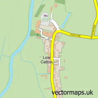
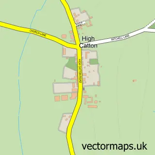
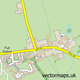
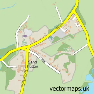
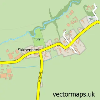
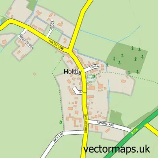
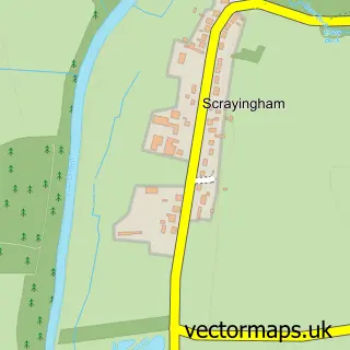
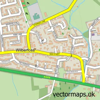
Nearby street map samples around Stamford Bridge


More street maps in East Riding of Yorkshire
750 metre map area coverage
Boundary, postcode and point of interest information for the 750m x 750m rectangle centred on this sample map.
Boundaries containing map centre
Constituency: Goole and Pocklington Co Const
District: East Riding of Yorkshire
Icb: NHS Humber and North Yorkshire ICB
Parish: Stamford Bridge CP
Police Force: humberside
Postcode District: YO41
Postcode Sector: YO41 1
Ward: Pocklington Provincial Ward
Nearby boundaries intersecting sample
Constituency: Thirsk and Malton Co Const
District: North Yorkshire
Parish: Buttercrambe with Bossall CP, Gate Helmsley CP
Police Force: north yorkshire
Postcode coverage
POI category counts
Elementary School: 4
Hair Salon: 3
Pet Groomer: 3
Assisted Living Facility: 2
Beauty And Spa: 2
Cafe: 2
Dentist: 2
Doctor: 2
Fish And Chips Restaurant: 2
Liquor Store: 2
Sample points of interest
- Tattersall Towers
- Stamford Bridge Tennis Club
- Pyper York Limited
- St John the Baptist Stamford Bridge
- Northwood Trail - Jollydays Glamping
- Barchester - Stamford Bridge Beaumont Care Home
- Stamford Bridge Beaumont
- The Cooperative Food (BF) Stamford Bridge (swap), Stamford Bridge
- DH AutoCare Valeting
- Stamford Bridge Motors
- The Square Bakehouse
- Sizzling Plate
Create a larger editable map of Stamford Bridge
This sample shows only a 750 metre area. To create a larger map of Stamford Bridge, use our map builder to choose your own coverage area, add titles and download editable SVG, PDF and PNG files.
Create a custom map of Stamford Bridge