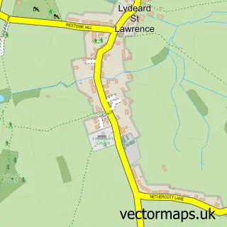
This Bishops Lydeard street map is a detailed vector street map covering a 750m x 750m area. Select a larger area to create and download your own vector street map of Bishops Lydeard.
The 750-metre map sample for Bishops Lydeard covers 370 mapped buildings and approximately 14.6 km of road detail, of which 30 named roads are named. The immediate area includes 1 school, 1 GP surgery, 2 pubs and 1 MOT station. The wider area around Bishops Lydeard features 2 tourism points of interest and 3 food and drink venues. To create a larger or custom map of Bishops Lydeard, the map builder lets you define your own coverage area and download editable SVG, PDF and PNG files.
Create a larger editable map of Bishops Lydeard
Choose any area you need and generate a high-quality vector map instantly. Perfect for print, planning, design, business and personal use.

This Bishops Lydeard street map in Somerset is available as downloadable SVG, PDF and PNG map files, or as a printed map for planning, business, display, education, local information and design work. You can also create a larger custom map area using the map selector.
What this Bishops Lydeard map sample shows
Bishops Lydeard lies within Bishop's Lydeard Cp parish, part of South Quantock ward in the Somerset local authority area. The postcode geography for this area includes the TA postcode area, the TA4 postcode district and the TA4 3 postcode sector. Residents fall under the Nhs Somerset Integrated Care Board for NHS services.
Local features near Bishops Lydeard
Within 2 milesAmenities and services in and around Bishops Lydeard.
Administrative and postcode information for Bishops Lydeard
Bishops Lydeard lies within Bishop's Lydeard Cp parish, part of South Quantock ward in the Somerset local authority area. The postcode geography for this area includes the TA postcode area, the TA4 postcode district and the TA4 3 postcode sector. Residents fall under the Nhs Somerset Integrated Care Board for NHS services.
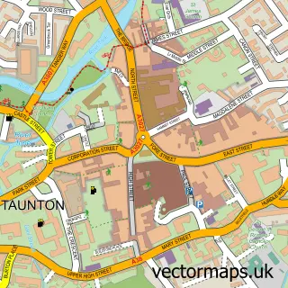
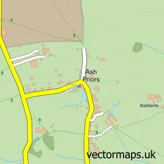
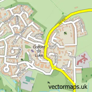
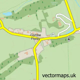
Nearby street map samples around Bishops Lydeard

More street maps in Somerset
750 metre map area coverage
Boundary, postcode and point of interest information for the 750m x 750m rectangle centred on this sample map.
Boundaries containing map centre
Constituency: Tiverton and Minehead Co Const
District: Somerset
Icb: NHS Somerset ICB
Parish: Bishop's Lydeard CP
Police Force: avon and somerset
Postcode District: TA4
Postcode Sector: TA4 3
Nearby boundaries intersecting sample
No additional intersecting boundaries found.
Postcode coverage
POI category counts
Education: 2
Hair Salon: 2
Home Service: 2
Museum: 2
Pet Store: 2
Pub: 2
Shipping Center: 2
Architect: 1
Art School: 1
Atms: 1
Sample points of interest
- Alban Building Consultancy
- West Somerset Railway Association
- The Cooperative Food (BF) Bishops Lydeard, Bishops Lydeard
- Mount Street Garage
- Becci's Bakery
- Savani Health & Beauty
- West View
- Quantock Brewery
- Taunton Windows & Conservatories
- AJ Raucki & Son Ltd
- Unipart Car Care Centre
- Little Treasures Childminding Services
Create a larger editable map of Bishops Lydeard
This sample shows only a 750 metre area. To create a larger map of Bishops Lydeard, use our map builder to choose your own coverage area, add titles and download editable SVG, PDF and PNG files.
Create a custom map of Bishops Lydeard