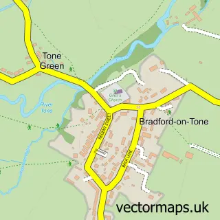
This Cotford St. Luke street map is a detailed vector street map covering a 750m x 750m area. Select a larger area to create and download your own vector street map of Cotford St. Luke.
The 750-metre map sample for Cotford St. Luke covers 406 mapped buildings and approximately 13.3 km of road detail, of which 21 named roads are named. The immediate area includes 1 school, 1 GP surgery within 2 miles, 1 pub and 2 MOT stations within 2 miles. The wider area around Cotford St. Luke features 1 tourism point of interest and 1 food and drink venue. To create a larger or custom map of Cotford St. Luke, the map builder lets you define your own coverage area and download editable SVG, PDF and PNG files.
Create a larger editable map of Cotford St. Luke
Choose any area you need and generate a high-quality vector map instantly. Perfect for print, planning, design, business and personal use.

This Cotford St. Luke street map in Somerset is available as downloadable SVG, PDF and PNG map files, or as a printed map for planning, business, display, education, local information and design work. You can also create a larger custom map area using the map selector.
What this Cotford St. Luke map sample shows
Cotford St. Luke lies within Cotford St. Luke Cp parish, part of Cotford St Luke & Oake ward in the Somerset local authority area. The postcode geography for this area includes the TA postcode area, the TA4 postcode district and the TA4 1 postcode sector. Residents fall under the Nhs Somerset Integrated Care Board for NHS services.
Local features near Cotford St. Luke
Within 2 milesAmenities and services in and around Cotford St. Luke.
Administrative and postcode information for Cotford St. Luke
The local authority covering Cotford St. Luke is Somerset, within the county of Somerset. The settlement lies within Cotford St Luke & Oake ward and Cotford St. Luke Cp civil parish. The TA4 postcode district and TA4 1 postcode sector serve the immediate area. NHS provision in the area is delivered through Somerset Nhs Foundation Trust.
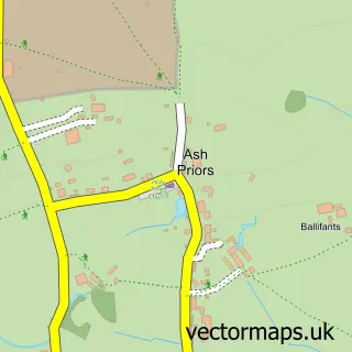
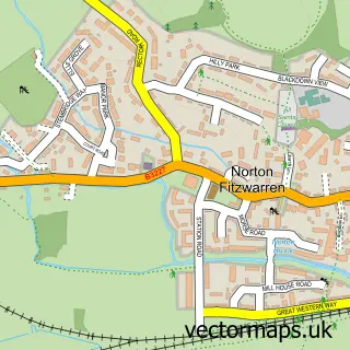
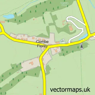
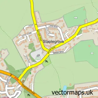
Nearby street map samples around Cotford St. Luke
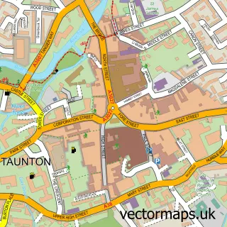

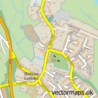
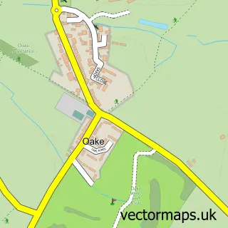
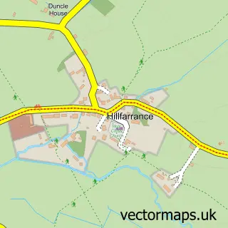
More street maps in Somerset
750 metre map area coverage
Boundary, postcode and point of interest information for the 750m x 750m rectangle centred on this sample map.
Boundaries containing map centre
Constituency: Tiverton and Minehead Co Const
District: Somerset
Icb: NHS Somerset ICB
Parish: Cotford St. Luke CP
Police Force: avon and somerset
Postcode District: TA4
Postcode Sector: TA4 1
Nearby boundaries intersecting sample
Parish: Oake CP
Postcode Sector: TA4 3
Postcode coverage
POI category counts
Home Service: 3
Hospital: 3
Beauty Salon: 2
Driving School: 2
Anglican Church: 1
Architect: 1
Atms: 1
Audio Visual Equipment Store: 1
Bar And Grill Restaurant: 1
Bathroom Remodeling: 1
Sample points of interest
- St Luke's Church Centre
- Steve Terry Architects
- The Southern Co-Operative Cotford St Luke Graham Way
- Eden Audio
- The All Knighter - Garden Bar
- E J Holland Plumbing & Heating
- Contour Aesthetics by Abi
- Cloud 9 hair studio
- The Haven Room
- Bike Box Hire Somerset
- Hattan
- B. G. Carpentry & Joinery
Create a larger editable map of Cotford St. Luke
This sample shows only a 750 metre area. To create a larger map of Cotford St. Luke, use our map builder to choose your own coverage area, add titles and download editable SVG, PDF and PNG files.
Create a custom map of Cotford St. Luke