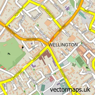
This Bradford on Tone street map is a detailed vector street map covering a 750m x 750m area. Select a larger area to create and download your own vector street map of Bradford on Tone.
The 750-metre map sample for Bradford on Tone covers 146 mapped buildings and approximately 9.4 km of road detail, of which 3 named roads are named. The immediate area includes 2 pubs and 7 MOT stations within 2 miles. The wider area around Bradford on Tone features 2 food and drink venues and 2 campsites within 2 miles. To create a larger or custom map of Bradford on Tone, the map builder lets you define your own coverage area and download editable SVG, PDF and PNG files.
Create a larger editable map of Bradford on Tone
Choose any area you need and generate a high-quality vector map instantly. Perfect for print, planning, design, business and personal use.

This Bradford on Tone street map in Somerset is available as downloadable SVG, PDF and PNG map files, or as a printed map for planning, business, display, education, local information and design work. You can also create a larger custom map area using the map selector.
What this Bradford on Tone map sample shows
Bradford on Tone lies within Bradford-On-Tone Cp parish, part of Monument ward in the Somerset local authority area. The postcode geography for this area includes the TA postcode area, the TA4 postcode district and the TA4 1 postcode sector. Residents fall under the Nhs Somerset Integrated Care Board for NHS services.
Local features near Bradford on Tone
Within 2 milesAmenities and services in and around Bradford on Tone.
Administrative and postcode information for Bradford on Tone
The local authority covering Bradford on Tone is Somerset, within the county of Somerset. The settlement lies within Monument ward and Bradford-On-Tone Cp civil parish. The TA4 postcode district and TA4 1 postcode sector serve the immediate area. NHS provision in the area is delivered through Somerset Nhs Foundation Trust.
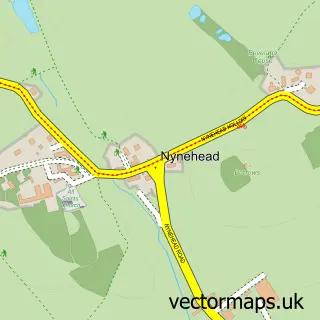
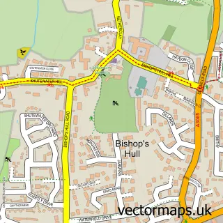
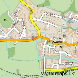
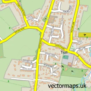
Nearby street map samples around Bradford on Tone

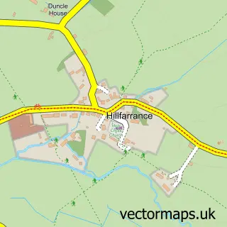
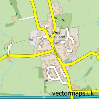
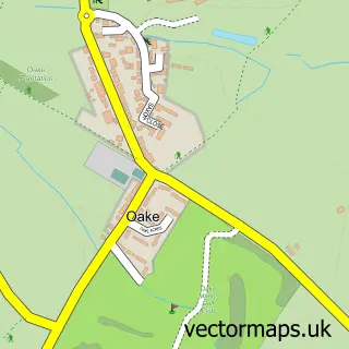
More street maps in Somerset
750 metre map area coverage
Boundary, postcode and point of interest information for the 750m x 750m rectangle centred on this sample map.
Boundaries containing map centre
Constituency: Taunton and Wellington Co Const
District: Somerset
Icb: NHS Somerset ICB
Parish: Bradford-on-Tone CP
Police Force: avon and somerset
Postcode District: TA4
Postcode Sector: TA4 1
Nearby boundaries intersecting sample
Parish: West Buckland CP
Postcode District: TA21
Postcode Sector: TA21 9
Postcode coverage
POI category counts
Pub: 2
Anglican Church: 1
Arts And Entertainment: 1
Bridge: 1
Cottage: 1
Education: 1
Elementary School: 1
Equestrian Facility: 1
Financial Advising: 1
Martial Arts Club: 1
Sample points of interest
- St Giles
- Bradford-on-Tone Village Hall
- Bradford Bridge
- Riverside Retreat
- Music Bugs Taunton
- AB Education Ltd.
- Mill House Equestrian Centre
- Direction Financial Planning
- Momiji-Dojo Karate Club
- Adrian Gaines Decorating Services
- The White Horse
- White Horse Inn
Create a larger editable map of Bradford on Tone
This sample shows only a 750 metre area. To create a larger map of Bradford on Tone, use our map builder to choose your own coverage area, add titles and download editable SVG, PDF and PNG files.
Create a custom map of Bradford on Tone