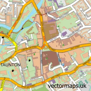
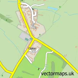
This Bishop's Hull street map is a detailed vector street map covering a 750m x 750m area. Select a larger area to create and download your own vector street map of Bishop's Hull.
The 750-metre map sample for Bishop's Hull covers 451 mapped buildings and approximately 16.9 km of road detail, of which 32 named roads are named. The immediate area includes 1 school, 3 GP surgeries within 2 miles, 1 pub and 23 MOT stations within 2 miles. The wider area around Bishop's Hull features 1 tourism point of interest, 1 food and drink venue and 1 hotel. To create a larger or custom map of Bishop's Hull, the map builder lets you define your own coverage area and download editable SVG, PDF and PNG files.
Create a larger editable map of Bishop's Hull
Choose any area you need and generate a high-quality vector map instantly. Perfect for print, planning, design, business and personal use.

This Bishop's Hull street map in Somerset is available as downloadable SVG, PDF and PNG map files, or as a printed map for planning, business, display, education, local information and design work. You can also create a larger custom map area using the map selector.
What this Bishop's Hull map sample shows
Bishop's Hull lies within Norton Fitzwarren Cp parish, part of Norton Fitzwarren & Staplegrove ward in the Somerset local authority area. The postcode geography for this area includes the TA postcode area, the TA2 postcode district and the TA2 6 postcode sector. Residents fall under the Nhs Somerset Integrated Care Board for NHS services.
Local features near Bishop's Hull
Within 2 milesAmenities and services in and around Bishop's Hull.
Administrative and postcode information for Bishop's Hull
The local authority covering Bishop's Hull is Somerset, within the county of Somerset. The settlement lies within Norton Fitzwarren & Staplegrove ward and Norton Fitzwarren Cp civil parish. The TA2 postcode district and TA2 6 postcode sector serve the immediate area. NHS provision in the area is delivered through Somerset Nhs Foundation Trust.
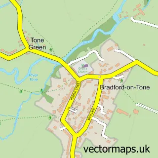
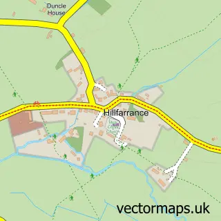
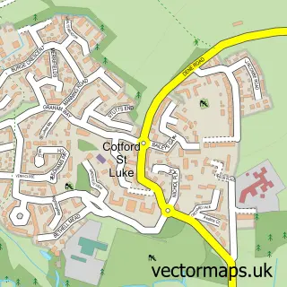
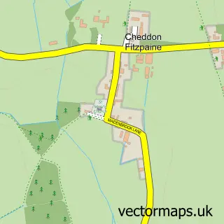
Nearby street map samples around Bishop's Hull

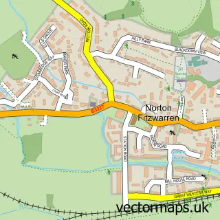
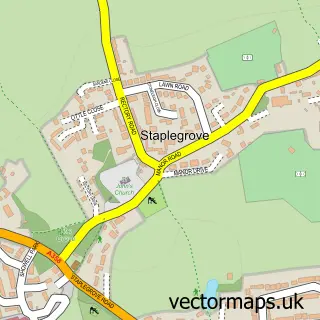
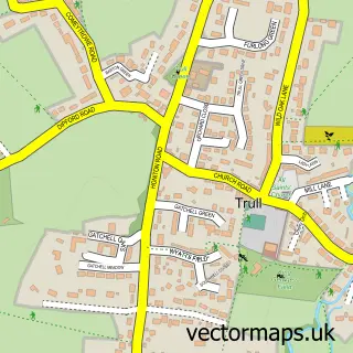
More street maps in Somerset
750 metre map area coverage
Boundary, postcode and point of interest information for the 750m x 750m rectangle centred on this sample map.
Boundaries containing map centre
Constituency: Taunton and Wellington Co Const
District: Somerset
Icb: NHS Somerset ICB
Parish: Bishop's Hull CP
Police Force: avon and somerset
Postcode District: TA1
Postcode Sector: TA1 5
Nearby boundaries intersecting sample
Parish: Taunton CP
Postcode District: TA4
Postcode Sector: TA4 1
Postcode coverage
POI category counts
Gas Station: 3
Church Cathedral: 2
Shipping Center: 2
Active Life: 1
Assisted Living Facility: 1
Beauty Salon: 1
Building Contractor: 1
Business To Business Services: 1
Butcher Shop: 1
Chinese Restaurant: 1
Sample points of interest
- Bishops Hull Park
- Anchor - Malthouse Court
- Beauty lush aesthetics
- Crystal Window Cleaning Services
- Stockcheck - Devon & Somerset
- Bishops Hull Butchers Post Office and Stores
- Jade House
- Bishops Hull Parish Church
- St Peter & St Paul's Church
- Bishops Hull Hub
- Garry Hepworth Driving School
- NJW Electrical Services
Create a larger editable map of Bishop's Hull
This sample shows only a 750 metre area. To create a larger map of Bishop's Hull, use our map builder to choose your own coverage area, add titles and download editable SVG, PDF and PNG files.
Create a custom map of Bishop's Hull