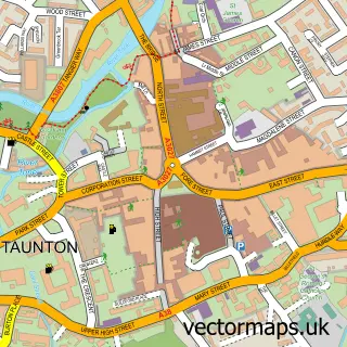
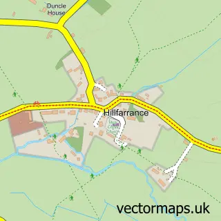
This Staplegrove street map is a detailed vector street map covering a 750m x 750m area. Select a larger area to create and download your own vector street map of Staplegrove.
The 750-metre map sample for Staplegrove covers 212 mapped buildings and approximately 9.8 km of road detail, of which 14 named roads are named. The immediate area includes 5 GP surgeries within 2 miles and 26 MOT stations within 2 miles. To create a larger or custom map of Staplegrove, the map builder lets you define your own coverage area and download editable SVG, PDF and PNG files.
Create a larger editable map of Staplegrove
Choose any area you need and generate a high-quality vector map instantly. Perfect for print, planning, design, business and personal use.

This Staplegrove street map in Somerset is available as downloadable SVG, PDF and PNG map files, or as a printed map for planning, business, display, education, local information and design work. You can also create a larger custom map area using the map selector.
What this Staplegrove map sample shows
Staplegrove lies within Taunton Cp parish, part of Norton Fitzwarren & Staplegrove ward in the Somerset local authority area. The postcode geography for this area includes the TA postcode area, the TA2 postcode district and the TA2 6 postcode sector. Residents fall under the Nhs Somerset Integrated Care Board for NHS services.
Local features near Staplegrove
Within 2 milesAmenities and services in and around Staplegrove.
Administrative and postcode information for Staplegrove
The local authority covering Staplegrove is Somerset, within the county of Somerset. The settlement lies within Norton Fitzwarren & Staplegrove ward and Taunton Cp civil parish. The TA2 postcode district and TA2 6 postcode sector serve the immediate area. NHS provision in the area is delivered through Somerset Nhs Foundation Trust.
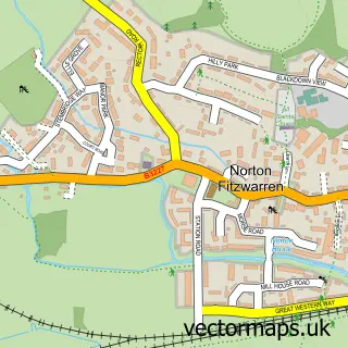
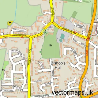
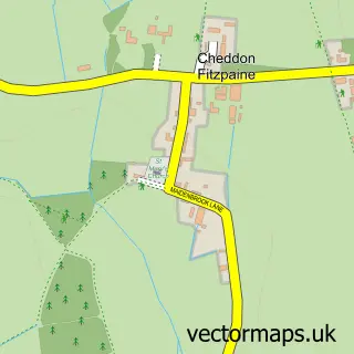
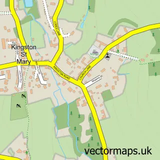
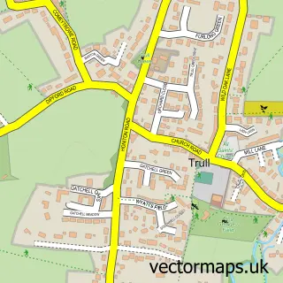
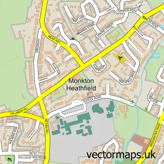
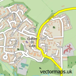
Nearby street map samples around Staplegrove

More street maps in Somerset
750 metre map area coverage
Boundary, postcode and point of interest information for the 750m x 750m rectangle centred on this sample map.
Boundaries containing map centre
Constituency: Taunton and Wellington Co Const
District: Somerset
Icb: NHS Somerset ICB
Parish: Taunton CP
Police Force: avon and somerset
Postcode District: TA2
Postcode Sector: TA2 6
Nearby boundaries intersecting sample
Parish: Kingston St. Mary CP
Postcode coverage
POI category counts
Ophthalmologist: 2
Post Office: 2
Alternative Medicine: 1
Amateur Sports Team: 1
Anglican Church: 1
Church Cathedral: 1
Computer Wholesaler: 1
Convenience Store: 1
Currency Exchange: 1
Furniture Manufacturers: 1
Sample points of interest
- The Changist
- Staplegrove Sportsman Club
- St John’s, Staplegrove
- Staplegrove Church
- First4IT Solutions Ltd.
- Welcome Taunton
- Post Office Travel Money
- Village World Ltd.
- Staplegrove Hair Care
- Revolution Laundry
- Wash.ME - Welcome Staplegrove Taunton
- West of England Laser Centre
Create a larger editable map of Staplegrove
This sample shows only a 750 metre area. To create a larger map of Staplegrove, use our map builder to choose your own coverage area, add titles and download editable SVG, PDF and PNG files.
Create a custom map of Staplegrove