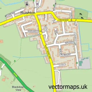
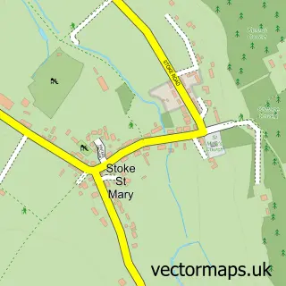
This Monkton Heathfield street map is a detailed vector street map covering a 750m x 750m area. Select a larger area to create and download your own vector street map of Monkton Heathfield.
The 750-metre map sample for Monkton Heathfield covers 476 mapped buildings and approximately 13.6 km of road detail, of which 22 named roads are named. The immediate area includes 1 school, 4 GP surgeries within 2 miles, 1 pub and 1 MOT station, with 12 within 2 miles. The wider area around Monkton Heathfield features 1 tourism point of interest and 2 food and drink venues. To create a larger or custom map of Monkton Heathfield, the map builder lets you define your own coverage area and download editable SVG, PDF and PNG files.
Create a larger editable map of Monkton Heathfield
Choose any area you need and generate a high-quality vector map instantly. Perfect for print, planning, design, business and personal use.

This Monkton Heathfield street map in Somerset is available as downloadable SVG, PDF and PNG map files, or as a printed map for planning, business, display, education, local information and design work. You can also create a larger custom map area using the map selector.
What this Monkton Heathfield map sample shows
Monkton Heathfield lies within West Monkton Cp parish, part of West Monkton & Cheddon Fitzpaine ward in the Somerset local authority area. The postcode geography for this area includes the TA postcode area, the TA2 postcode district and the TA2 8 postcode sector. Residents fall under the Nhs Somerset Integrated Care Board for NHS services.
Local features near Monkton Heathfield
Within 2 milesAmenities and services in and around Monkton Heathfield.
Administrative and postcode information for Monkton Heathfield
The local authority covering Monkton Heathfield is Somerset, within the county of Somerset. The settlement lies within West Monkton & Cheddon Fitzpaine ward and West Monkton Cp civil parish. The TA2 postcode district and TA2 8 postcode sector serve the immediate area. NHS provision in the area is delivered through Somerset Nhs Foundation Trust.
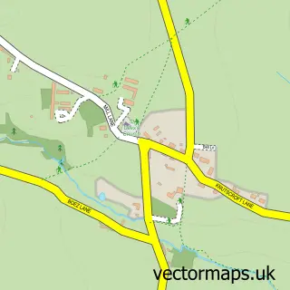
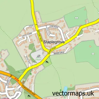
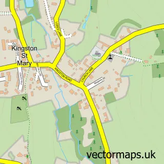
Nearby street map samples around Monkton Heathfield
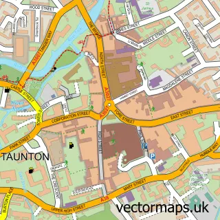

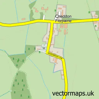
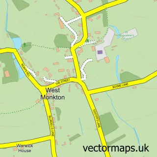
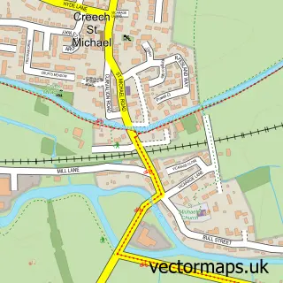
More street maps in Somerset
750 metre map area coverage
Boundary, postcode and point of interest information for the 750m x 750m rectangle centred on this sample map.
Boundaries containing map centre
Constituency: Taunton and Wellington Co Const
District: Somerset
Icb: NHS Somerset ICB
Parish: West Monkton CP
Police Force: avon and somerset
Postcode District: TA2
Postcode Sector: TA2 8
Nearby boundaries intersecting sample
No additional intersecting boundaries found.
Postcode coverage
POI category counts
Chiropractor: 3
Beauty And Spa: 2
Elementary School: 2
Hair Salon: 2
Home Developer: 2
Theatre: 2
Atms: 1
Automotive: 1
Beauty Salon: 1
Building Supply Store: 1
Sample points of interest
- The Cooperative Food Monkton Heathfield School Rd, Monkton Heathfield
- Howards Hyundai Taunton
- Bare Easthetics LTD
- Lydia Grace Beauty from Home
- SA Aestetics & Beauty
- Devon & Somerset Fire Protection Ltd.
- Hyundai
- A & K Carpets
- Bathpool Chiropractic Clinic
- Bathpool Physiotherapy & Sports Injury Clinic
- Bathpool Physiotherapy & Sports Injury Clinic
- Costa Express
Create a larger editable map of Monkton Heathfield
This sample shows only a 750 metre area. To create a larger map of Monkton Heathfield, use our map builder to choose your own coverage area, add titles and download editable SVG, PDF and PNG files.
Create a custom map of Monkton Heathfield