This Creech St Michael street map is a detailed vector street map covering a 750m x 750m area. Select a larger area to create and download your own vector street map of Creech St Michael.
The 750-metre map sample for Creech St Michael covers 315 mapped buildings and approximately 11.4 km of road detail, of which 20 named roads are named. The immediate area includes 3 GP surgeries within 2 miles, 1 pub and 6 MOT stations within 2 miles. The wider area around Creech St Michael features 2 food and drink venues and 1 campsite within 2 miles. To create a larger or custom map of Creech St Michael, the map builder lets you define your own coverage area and download editable SVG, PDF and PNG files.
Create a larger editable map of Creech St Michael
Choose any area you need and generate a high-quality vector map instantly. Perfect for print, planning, design, business and personal use.

This Creech St Michael street map in Somerset is available as downloadable SVG, PDF and PNG map files, or as a printed map for planning, business, display, education, local information and design work. You can also create a larger custom map area using the map selector.
What this Creech St Michael map sample shows
Creech St Michael lies within Creech St. Michael Cp parish, part of Creech St Michael ward in the Somerset local authority area. The postcode geography for this area includes the TA postcode area, the TA3 postcode district and the TA3 5 postcode sector. Residents fall under the Nhs Somerset Integrated Care Board for NHS services.
Local features near Creech St Michael
Within 2 milesAmenities and services in and around Creech St Michael.
Administrative and postcode information for Creech St Michael
Creech St Michael lies within Creech St. Michael Cp parish, part of Creech St Michael ward in the Somerset local authority area. The postcode geography for this area includes the TA postcode area, the TA3 postcode district and the TA3 5 postcode sector. Residents fall under the Nhs Somerset Integrated Care Board for NHS services.
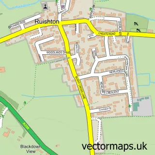
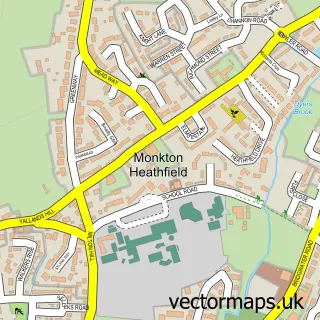
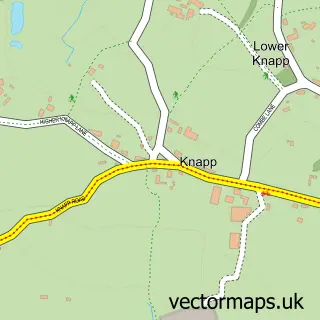
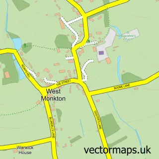
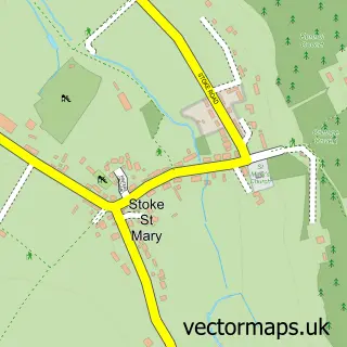
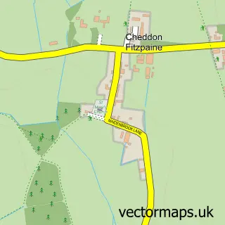
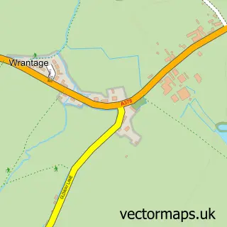
Nearby street map samples around Creech St Michael


More street maps in Somerset
750 metre map area coverage
Boundary, postcode and point of interest information for the 750m x 750m rectangle centred on this sample map.
Boundaries containing map centre
Constituency: Taunton and Wellington Co Const
District: Somerset
Icb: NHS Somerset ICB
Parish: Creech St. Michael CP
Police Force: avon and somerset
Postcode District: TA3
Postcode Sector: TA3 5
Nearby boundaries intersecting sample
Parish: Ruishton CP
Postcode coverage
POI category counts
Meat Wholesaler: 3
Church Cathedral: 2
Electrician: 2
Post Office: 2
Anglican Church: 1
Arts And Crafts: 1
Auto Body Shop: 1
Automotive Repair: 1
Baptist Church: 1
Bed And Breakfast: 1
Sample points of interest
- St Michael
- Woodcraft by JoMo
- Richie's Autos
- Arnie's Workshop
- Creech St Michael Baptist Church
- Creechbarn B & B
- County Granite & Marble
- Adventure Cafe
- Life Cafe
- Creech Motor Company
- Karebears Childcare
- Church of St Michael, Creech St Michael
Create a larger editable map of Creech St Michael
This sample shows only a 750 metre area. To create a larger map of Creech St Michael, use our map builder to choose your own coverage area, add titles and download editable SVG, PDF and PNG files.
Create a custom map of Creech St Michael