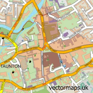
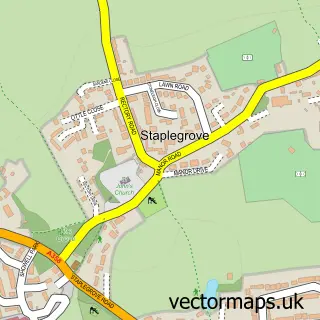
This Ruishton street map is a detailed vector street map covering a 750m x 750m area. Select a larger area to create and download your own vector street map of Ruishton.
The 750-metre map sample for Ruishton covers 284 mapped buildings and approximately 10.7 km of road detail, of which 20 named roads are named. The immediate area includes 1 school, 4 GP surgeries within 2 miles, 1 pub and 12 MOT stations within 2 miles. The wider area around Ruishton features 1 tourism point of interest, 1 food and drink venue and 1 campsite within 2 miles. To create a larger or custom map of Ruishton, the map builder lets you define your own coverage area and download editable SVG, PDF and PNG files.
Create a larger editable map of Ruishton
Choose any area you need and generate a high-quality vector map instantly. Perfect for print, planning, design, business and personal use.

This Ruishton street map in Somerset is available as downloadable SVG, PDF and PNG map files, or as a printed map for planning, business, display, education, local information and design work. You can also create a larger custom map area using the map selector.
What this Ruishton map sample shows
Ruishton lies within Ruishton Cp parish, part of North Curry & Ruishton ward in the Somerset local authority area. The postcode geography for this area includes the TA postcode area, the TA3 postcode district and the TA3 5 postcode sector. Residents fall under the Nhs Somerset Integrated Care Board for NHS services.
Local features near Ruishton
Within 2 milesAmenities and services in and around Ruishton.
Administrative and postcode information for Ruishton
Ruishton lies within Ruishton Cp parish, part of North Curry & Ruishton ward in the Somerset local authority area. The postcode geography for this area includes the TA postcode area, the TA3 postcode district and the TA3 5 postcode sector. Residents fall under the Nhs Somerset Integrated Care Board for NHS services.
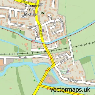
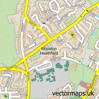
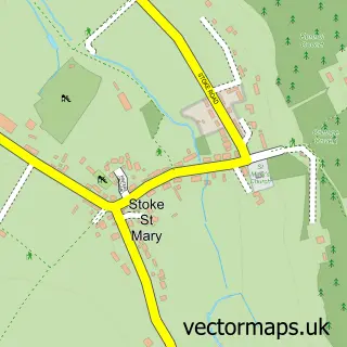
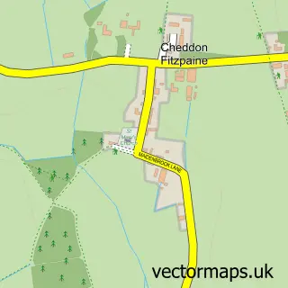
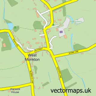
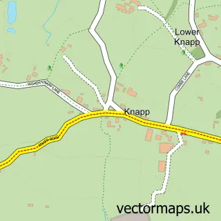
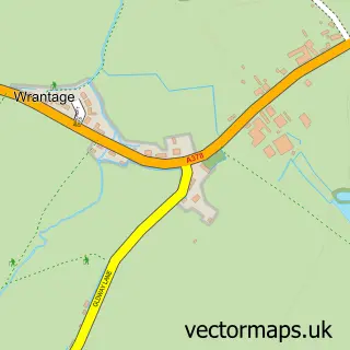
Nearby street map samples around Ruishton

More street maps in Somerset
750 metre map area coverage
Boundary, postcode and point of interest information for the 750m x 750m rectangle centred on this sample map.
Boundaries containing map centre
Constituency: Taunton and Wellington Co Const
District: Somerset
Icb: NHS Somerset ICB
Parish: Ruishton CP
Police Force: avon and somerset
Postcode District: TA3
Postcode Sector: TA3 5
Nearby boundaries intersecting sample
No additional intersecting boundaries found.
Postcode coverage
POI category counts
Elementary School: 2
Preschool: 2
Anglican Church: 1
Architectural Designer: 1
Assisted Living Facility: 1
Business: 1
Child Care And Day Care: 1
Chimney Sweep: 1
Community Center: 1
Construction Services: 1
Sample points of interest
- St George's Church
- Acute Building Design
- Newholme
- Arctic Engineering Solutions LTD
- Xanthe Lukes
- Glowing Stoves
- Ruishton Village Hall
- LEEP Scaffolding
- M C Building Services
- Ruishton C of E VC Primary School
- Ruishton Church of England School
- Autumn Films
Create a larger editable map of Ruishton
This sample shows only a 750 metre area. To create a larger map of Ruishton, use our map builder to choose your own coverage area, add titles and download editable SVG, PDF and PNG files.
Create a custom map of Ruishton