This Trull street map is a detailed vector street map covering a 750m x 750m area. Select a larger area to create and download your own vector street map of Trull.
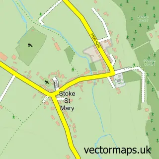
The 750-metre map sample for Trull covers 337 mapped buildings and approximately 13.3 km of road detail, of which 19 named roads are named. The immediate area includes 1 school, 3 GP surgeries within 2 miles, 1 pub and 14 MOT stations within 2 miles. The wider area around Trull features 2 tourism points of interest, 1 food and drink venue and 1 campsite within 2 miles. To create a larger or custom map of Trull, the map builder lets you define your own coverage area and download editable SVG, PDF and PNG files.
Create a larger editable map of Trull
Choose any area you need and generate a high-quality vector map instantly. Perfect for print, planning, design, business and personal use.

This Trull street map in Somerset is available as downloadable SVG, PDF and PNG map files, or as a printed map for planning, business, display, education, local information and design work. You can also create a larger custom map area using the map selector.
What this Trull map sample shows
Trull lies within Trull Cp parish, part of Trull, Pitminster & Corfe ward in the Somerset local authority area. The postcode geography for this area includes the TA postcode area, the TA3 postcode district and the TA3 7 postcode sector. Residents fall under the Nhs Somerset Integrated Care Board for NHS services.
Local features near Trull
Within 2 milesAmenities and services in and around Trull.
Administrative and postcode information for Trull
Trull lies within Trull Cp parish, part of Trull, Pitminster & Corfe ward in the Somerset local authority area. The postcode geography for this area includes the TA postcode area, the TA3 postcode district and the TA3 7 postcode sector. Residents fall under the Nhs Somerset Integrated Care Board for NHS services.
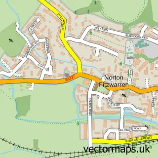
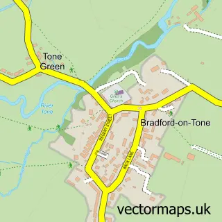
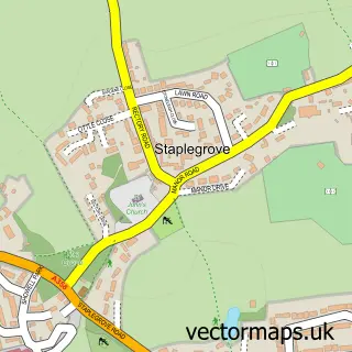
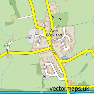
Nearby street map samples around Trull
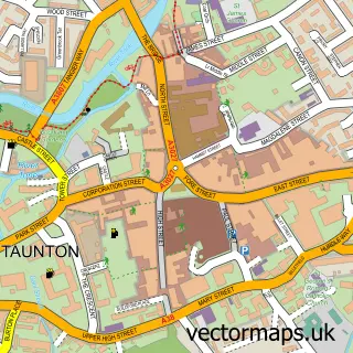

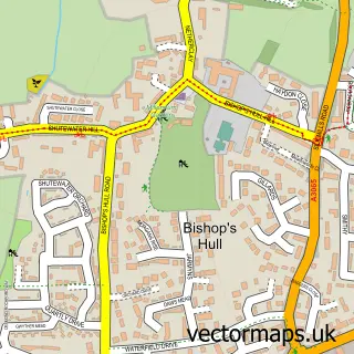
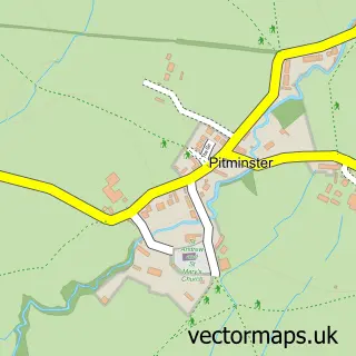
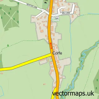
More street maps in Somerset
750 metre map area coverage
Boundary, postcode and point of interest information for the 750m x 750m rectangle centred on this sample map.
Boundaries containing map centre
Constituency: Taunton and Wellington Co Const
District: Somerset
Icb: NHS Somerset ICB
Parish: Trull CP
Police Force: avon and somerset
Postcode District: TA3
Postcode Sector: TA3 7
Nearby boundaries intersecting sample
Parish: Taunton CP
Postcode coverage
POI category counts
Automotive Repair: 3
Cleaning Services: 2
Convenience Store: 2
It Service And Computer Repair: 2
Korean Grocery Store: 2
Photography Store And Services: 2
Physical Therapy: 2
Printing Equipment And Supply: 2
Professional Services: 2
Scout Hall: 2
Sample points of interest
- All Saints' Church
- King George V Playing Field
- AJP Auto Services
- The Owl Garage
- Trull Garage
- Amica Care Trust
- Little Monsters Market- Baby and Children's Nearly New Sales
- Orchard Grove Church
- D F Cleaning Services
- Time for You
- Trull Church Community Centre
- Premier Trull Stores
Create a larger editable map of Trull
This sample shows only a 750 metre area. To create a larger map of Trull, use our map builder to choose your own coverage area, add titles and download editable SVG, PDF and PNG files.
Create a custom map of Trull