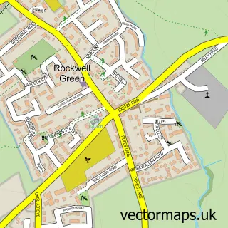
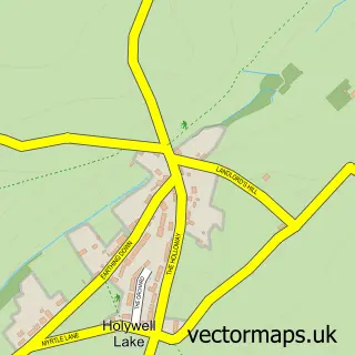
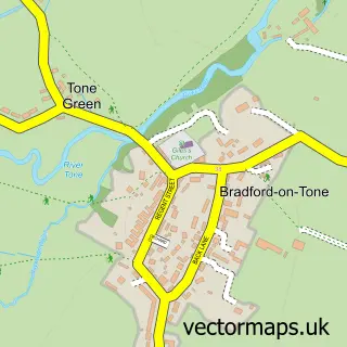
This Wellington street map is a detailed vector street map covering a 750m x 750m area. Select a larger area to create and download your own vector street map of Wellington.
The 750-metre map sample for Wellington covers 497 mapped buildings and approximately 21.1 km of road detail, of which 42 named roads are named. The immediate area includes 1 school, 1 GP surgery within 2 miles, 3 pubs and 2 MOT stations, with 10 within 2 miles. The wider area around Wellington features 2 tourism points of interest, 13 food and drink venues and 3 hotels. To create a larger or custom map of Wellington, the map builder lets you define your own coverage area and download editable SVG, PDF and PNG files.
Create a larger editable map of Wellington
Choose any area you need and generate a high-quality vector map instantly. Perfect for print, planning, design, business and personal use.

This Wellington street map in Somerset is available as downloadable SVG, PDF and PNG map files, or as a printed map for planning, business, display, education, local information and design work. You can also create a larger custom map area using the map selector.
What this Wellington map sample shows
Wellington lies within Wellington Cp parish, part of Wellington East ward in the Somerset local authority area. The postcode geography for this area includes the TA postcode area, the TA21 postcode district and the TA21 8 postcode sector. Residents fall under the Nhs Somerset Integrated Care Board for NHS services.
Local features near Wellington
Within 2 milesAmenities and services in and around Wellington.
Administrative and postcode information for Wellington
Wellington lies within Wellington Cp parish, part of Wellington East ward in the Somerset local authority area. The postcode geography for this area includes the TA postcode area, the TA21 postcode district and the TA21 8 postcode sector. Residents fall under the Nhs Somerset Integrated Care Board for NHS services.
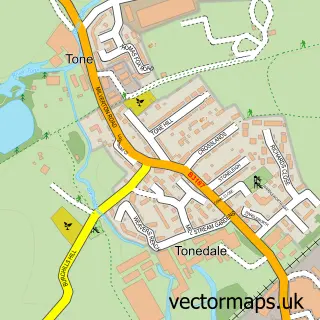
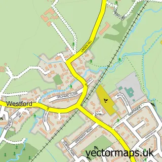
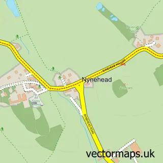
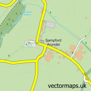
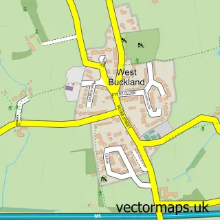
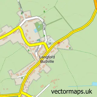
Nearby street map samples around Wellington

More street maps in Somerset
750 metre map area coverage
Boundary, postcode and point of interest information for the 750m x 750m rectangle centred on this sample map.
Boundaries containing map centre
Constituency: Taunton and Wellington Co Const
District: Somerset
Icb: NHS Somerset ICB
Parish: Wellington CP
Police Force: avon and somerset
Postcode District: TA21
Postcode Sector: TA21 8
Nearby boundaries intersecting sample
Postcode Sector: TA21 9
Postcode coverage
POI category counts
Building Supply Store: 10
Beauty Salon: 9
Hair Salon: 8
Real Estate Agent: 8
Convenience Store: 7
Flowers And Gifts Shop: 7
Funeral Services And Cemeteries: 7
Professional Services: 7
Automotive Repair: 6
Banks: 5
Sample points of interest
- SJ Accounting
- TS Partners
- Fine & Country Wellington
- SW1 Creative Marketing
- OurEmbassy
- Simone Guest
- Tome Osteopathic & Sports Clinic
- RSPCA
- Nick Nacks Antique Centre
- St. Margaret's Somerset Hospice
- Talent Gallery
- Phillip Knighton
Create a larger editable map of Wellington
This sample shows only a 750 metre area. To create a larger map of Wellington, use our map builder to choose your own coverage area, add titles and download editable SVG, PDF and PNG files.
Create a custom map of Wellington