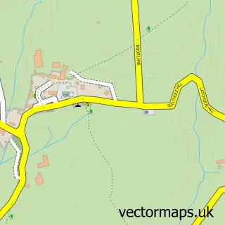
This Bishops Nympton street map is a detailed vector street map covering a 750m x 750m area. Select a larger area to create and download your own vector street map of Bishops Nympton.
The 750-metre map sample for Bishops Nympton covers 147 mapped buildings and approximately 10.5 km of road detail, of which 8 named roads are named. The immediate area includes 1 school and 1 MOT station within 2 miles. To create a larger or custom map of Bishops Nympton, the map builder lets you define your own coverage area and download editable SVG, PDF and PNG files.
Create a larger editable map of Bishops Nympton
Choose any area you need and generate a high-quality vector map instantly. Perfect for print, planning, design, business and personal use.

This Bishops Nympton street map in Devon is available as downloadable SVG, PDF and PNG map files, or as a printed map for planning, business, display, education, local information and design work. You can also create a larger custom map area using the map selector.
What this Bishops Nympton map sample shows
Bishops Nympton lies within Bishop's Nympton Cp parish, part of Bishop's Nympton ward in the North Devon District local authority area. The postcode geography for this area includes the EX postcode area, the EX36 postcode district and the EX36 4 postcode sector. Residents fall under the Nhs Devon Integrated Care Board for NHS services.
Local features near Bishops Nympton
Within 2 milesAmenities and services in and around Bishops Nympton.
Administrative and postcode information for Bishops Nympton
The local authority covering Bishops Nympton is North Devon District, within the county of Devon. The settlement lies within Bishop's Nympton ward and Bishop's Nympton Cp civil parish. The EX36 postcode district and EX36 4 postcode sector serve the immediate area. NHS provision in the area is delivered through Northern Devon Nhs Trust.
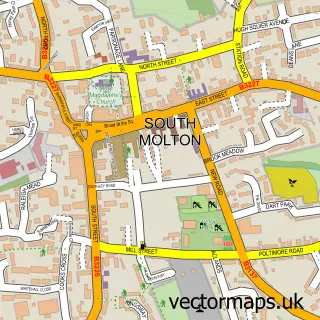
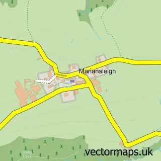
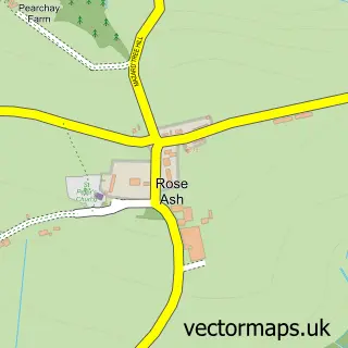
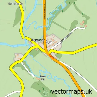
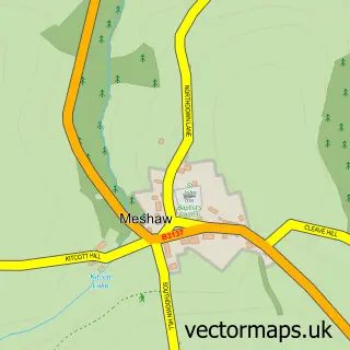
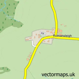
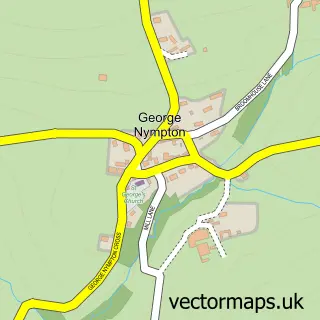
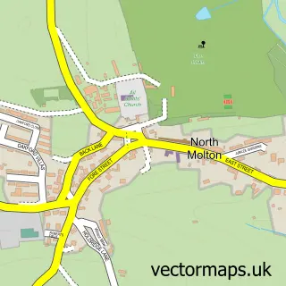
Nearby street map samples around Bishops Nympton

More street maps in Devon
750 metre map area coverage
Boundary, postcode and point of interest information for the 750m x 750m rectangle centred on this sample map.
Boundaries containing map centre
Constituency: North Devon Co Const
County: Devon County
District: North Devon District
Icb: NHS Devon ICB
Parish: Bishop's Nympton CP
Police Force: devon and cornwall
Postcode District: EX36
Postcode Sector: EX36 4
Ward: Bishop's Nympton Ward
Nearby boundaries intersecting sample
Postcode Sector: EX36 3
Postcode coverage
POI category counts
Active Life: 1
Anglican Church: 1
Beauty Salon: 1
Currency Exchange: 1
Driving School: 1
Farm: 1
Ice Cream Shop: 1
International Business And Trade Services: 1
Korean Grocery Store: 1
Post Office: 1
Sample points of interest
- K.J & J.M Cumings Racing
- St Mary the Virgin, Bishops Nympton
- The Shed
- Post Office Travel Money
- Tim Sowden School of Motoring
- North Hayne Farm
- Verney's Molton Ice
- A & G Setherton Ltd.
- Post Office-Bishops Nympton
- Bishops Nympton Post Office
- Hollie Nicole Photography
- Devon Energy Assessor
Create a larger editable map of Bishops Nympton
This sample shows only a 750 metre area. To create a larger map of Bishops Nympton, use our map builder to choose your own coverage area, add titles and download editable SVG, PDF and PNG files.
Create a custom map of Bishops Nympton