This South Molton street map is a detailed vector street map covering a 750m x 750m area. Select a larger area to create and download your own vector street map of South Molton.
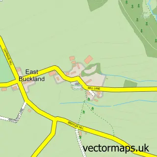
The 750-metre map sample for South Molton covers 478 mapped buildings and approximately 19.9 km of road detail, of which 43 named roads are named. The immediate area includes 1 GP surgery, 4 pubs and 2 MOT stations, with 8 within 2 miles. The wider area around South Molton features 3 tourism points of interest, 11 food and drink venues and 3 hotels. To create a larger or custom map of South Molton, the map builder lets you define your own coverage area and download editable SVG, PDF and PNG files.
Create a larger editable map of South Molton
Choose any area you need and generate a high-quality vector map instantly. Perfect for print, planning, design, business and personal use.

This South Molton street map in Devon is available as downloadable SVG, PDF and PNG map files, or as a printed map for planning, business, display, education, local information and design work. You can also create a larger custom map area using the map selector.
What this South Molton map sample shows
South Molton lies within South Molton Cp parish, part of South Molton ward in the North Devon District local authority area. The postcode geography for this area includes the EX postcode area, the EX36 postcode district and the EX36 3 postcode sector. Residents fall under the Nhs Devon Integrated Care Board for NHS services.
Local features near South Molton
Within 2 milesAmenities and services in and around South Molton.
Administrative and postcode information for South Molton
South Molton lies within South Molton Cp parish, part of South Molton ward in the North Devon District local authority area. The postcode geography for this area includes the EX postcode area, the EX36 postcode district and the EX36 3 postcode sector. Residents fall under the Nhs Devon Integrated Care Board for NHS services.
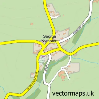
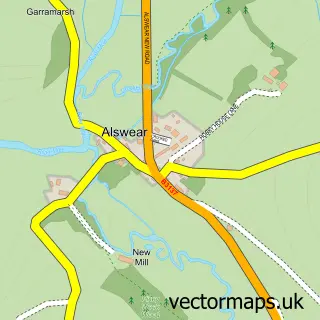
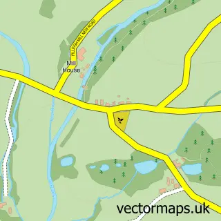
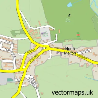
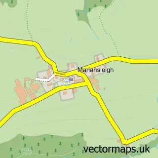
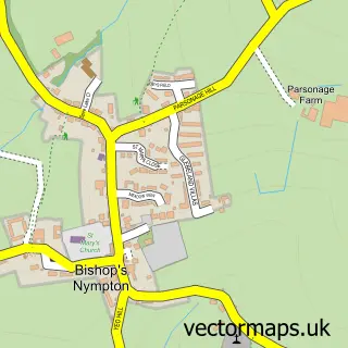
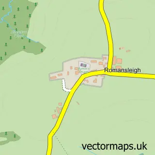
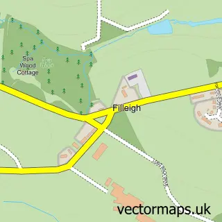
Nearby street map samples around South Molton

More street maps in Devon
750 metre map area coverage
Boundary, postcode and point of interest information for the 750m x 750m rectangle centred on this sample map.
Boundaries containing map centre
Constituency: North Devon Co Const
County: Devon County
District: North Devon District
Icb: NHS Devon ICB
Parish: South Molton CP
Police Force: devon and cornwall
Postcode District: EX36
Postcode Sector: EX36 3
Ward: South Molton Ward
Nearby boundaries intersecting sample
Postcode Sector: EX36 4
Postcode coverage
POI category counts
Hair Salon: 9
Real Estate Agent: 9
Convenience Store: 8
Automotive Repair: 7
Chiropractor: 7
Professional Services: 7
Barber: 6
Building Supply Store: 6
Cafe: 6
Beauty Salon: 5
Sample points of interest
- Bullimores
- The Devon Bookkeeper
- Andrew Symons Limited
- Molford House Surgery
- New Life Hypnotherapy
- Step by Step Patchwork Centre
- Duffield Court
- Eastleigh Care Homes
- Clearview.tv.services
- W H Buckingham Ltd.
- Coast Classics
- Motor Works
Create a larger editable map of South Molton
This sample shows only a 750 metre area. To create a larger map of South Molton, use our map builder to choose your own coverage area, add titles and download editable SVG, PDF and PNG files.
Create a custom map of South Molton