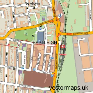
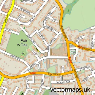
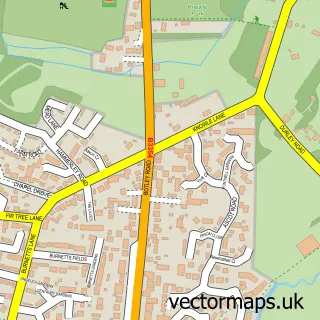
This Bishopstoke street map is a detailed vector street map covering a 750m x 750m area. Select a larger area to create and download your own vector street map of Bishopstoke.
The 750-metre map sample for Bishopstoke covers 513 mapped buildings and approximately 17.4 km of road detail, of which 36 named roads are named. The immediate area includes 4 GP surgeries within 2 miles, 1 pub and 15 MOT stations within 2 miles. The wider area around Bishopstoke features 2 tourism points of interest, 3 food and drink venues and 1 hotel. To create a larger or custom map of Bishopstoke, the map builder lets you define your own coverage area and download editable SVG, PDF and PNG files.
Create a larger editable map of Bishopstoke
Choose any area you need and generate a high-quality vector map instantly. Perfect for print, planning, design, business and personal use.

This Bishopstoke street map in Hampshire is available as downloadable SVG, PDF and PNG map files, or as a printed map for planning, business, display, education, local information and design work. You can also create a larger custom map area using the map selector.
What this Bishopstoke map sample shows
Bishopstoke lies within Bishopstoke Cp parish, part of Bishopstoke ward in the Eastleigh District (B) local authority area. The postcode geography for this area includes the SO postcode area, the SO50 postcode district and the SO50 6 postcode sector. Residents fall under the Nhs Hampshire And Isle Of Wight Integrated Care Board for NHS services.
Local features near Bishopstoke
Within 2 milesAmenities and services in and around Bishopstoke.
Administrative and postcode information for Bishopstoke
Bishopstoke lies within Bishopstoke Cp parish, part of Bishopstoke ward in the Eastleigh District (B) local authority area. The postcode geography for this area includes the SO postcode area, the SO50 postcode district and the SO50 6 postcode sector. Residents fall under the Nhs Hampshire And Isle Of Wight Integrated Care Board for NHS services.
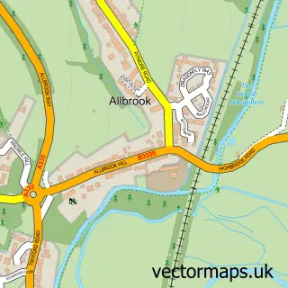
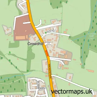
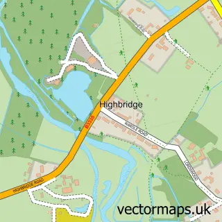
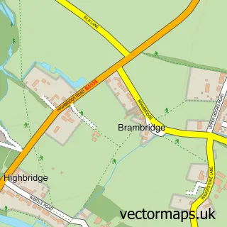
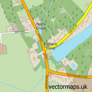
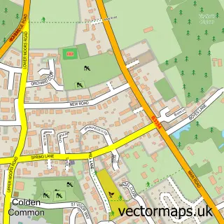
Nearby street map samples around Bishopstoke

More street maps in Hampshire
750 metre map area coverage
Boundary, postcode and point of interest information for the 750m x 750m rectangle centred on this sample map.
Boundaries containing map centre
Constituency: Eastleigh Boro Const
County: Hampshire County
District: Eastleigh District (B)
Icb: NHS Hampshire and Isle of Wight ICB
Parish: Bishopstoke CP
Police Force: hampshire
Postcode District: SO50
Postcode Sector: SO50 6
Ward: Bishopstoke Ward
Nearby boundaries intersecting sample
Postcode Sector: SO50 8
Postcode coverage
POI category counts
Convenience Store: 6
Beauty Salon: 5
Tattoo And Piercing: 4
Church Cathedral: 3
Dentist: 3
Barber: 2
Beauty And Spa: 2
Building Supply Store: 2
Construction Services: 2
Hair Salon: 2
Sample points of interest
- BJT Accountants
- Media Methods
- First Class Prints
- Springhill Car Repairs
- R H Gifts
- The oven door bakery bishopstoke
- Clip Joint Barber Shop
- The barber shop
- Enchanted Nails by Carolyn
- JC Hair Nails & Beauty Salon
- Heiress Unisex Hair Salon
- Becky Gough Beauty and Microblading Specialist
Create a larger editable map of Bishopstoke
This sample shows only a 750 metre area. To create a larger map of Bishopstoke, use our map builder to choose your own coverage area, add titles and download editable SVG, PDF and PNG files.
Create a custom map of Bishopstoke