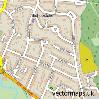
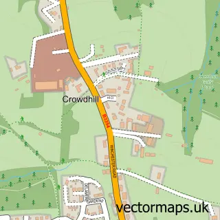
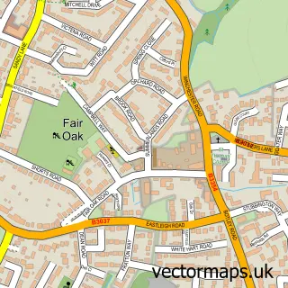
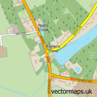
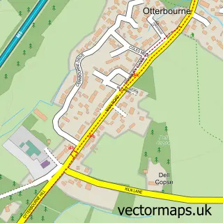
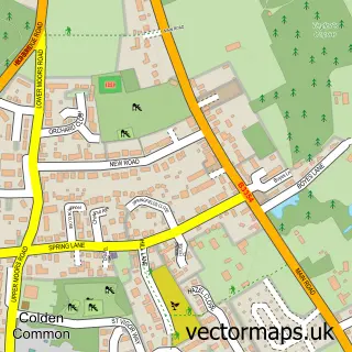
This Eastleigh street map is a detailed vector street map covering a 750m x 750m area. Select a larger area to create and download your own vector street map of Eastleigh.
The 750-metre map sample for Eastleigh covers 235 mapped buildings and approximately 17.5 km of road detail, of which 29 named roads are named. The immediate area includes 1 school, 1 railway station, 1 GP surgery, with 6 within 2 miles and 7 pubs among other local services. The wider area around Eastleigh features 9 tourism points of interest, 28 food and drink venues and 2 hotels. To create a larger or custom map of Eastleigh, the map builder lets you define your own coverage area and download editable SVG, PDF and PNG files.
Create a larger editable map of Eastleigh
Choose any area you need and generate a high-quality vector map instantly. Perfect for print, planning, design, business and personal use.

This Eastleigh street map in Hampshire is available as downloadable SVG, PDF and PNG map files, or as a printed map for planning, business, display, education, local information and design work. You can also create a larger custom map area using the map selector.
What this Eastleigh map sample shows
Eastleigh lies within Eastleigh Town Cp parish, part of Eastleigh Central ward in the Eastleigh District (B) local authority area. The postcode geography for this area includes the SO postcode area, the SO50 postcode district and the SO50 9 postcode sector. Residents fall under the Nhs Hampshire And Isle Of Wight Integrated Care Board for NHS services.
Local features near Eastleigh
Within 2 milesAmenities and services in and around Eastleigh.
Administrative and postcode information for Eastleigh
Eastleigh lies within Eastleigh Town Cp parish, part of Eastleigh Central ward in the Eastleigh District (B) local authority area. The postcode geography for this area includes the SO postcode area, the SO50 postcode district and the SO50 9 postcode sector. Residents fall under the Nhs Hampshire And Isle Of Wight Integrated Care Board for NHS services.
Nearby street map samples around Eastleigh

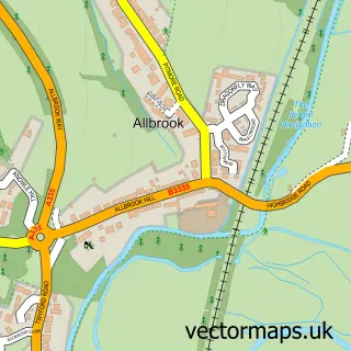
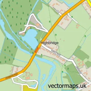
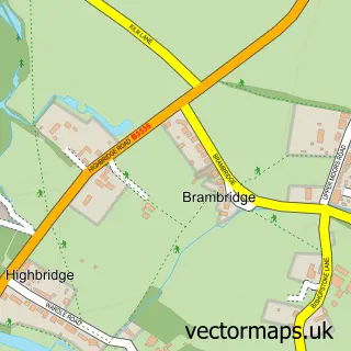
More street maps in Hampshire
750 metre map area coverage
Boundary, postcode and point of interest information for the 750m x 750m rectangle centred on this sample map.
Boundaries containing map centre
Constituency: Eastleigh Boro Const
County: Hampshire County
District: Eastleigh District (B)
Icb: NHS Hampshire and Isle of Wight ICB
Parish: Eastleigh Town CP
Police Force: hampshire
Postcode District: SO50
Postcode Sector: SO50 9
Ward: Eastleigh Central Ward
Nearby boundaries intersecting sample
Parish: Boyatt Wood CP
Postcode Sector: SO50 4, SO50 5, SO50 6
Ward: Eastleigh North Ward
Postcode coverage
POI category counts
Charity Organization: 13
Clothing Store: 10
Beauty Salon: 9
Jewelry Store: 9
Real Estate Agent: 9
Bank Credit Union: 8
Barber: 8
Coffee Shop: 8
Convenience Store: 8
Fast Food Restaurant: 8
Sample points of interest
- Inclusion
- Bond & Co.
- Tickdoc Ltd.
- Eastleigh Acupuncture & Chinese Medicine Centre
- Herbmagic
- Herbmagic
- Parentline Plus
- Exign Technology
- Auto Play
- Cassino Leisure
- CRY Shop
- Vision Architects Ltd
Create a larger editable map of Eastleigh
This sample shows only a 750 metre area. To create a larger map of Eastleigh, use our map builder to choose your own coverage area, add titles and download editable SVG, PDF and PNG files.
Create a custom map of Eastleigh