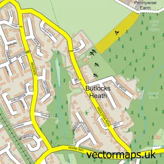
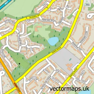
This Southampton street map is a detailed vector street map covering a 750m x 750m area. Select a larger area to create and download your own vector street map of Southampton.
The 750-metre map sample for Southampton covers 111 mapped buildings and approximately 21.9 km of road detail, of which 56 named roads are named. The immediate area includes 1 school, 15 GP surgeries within 2 miles, 5 pubs and 54 MOT stations within 2 miles. The wider area around Southampton features 20 tourism points of interest, 59 food and drink venues and 10 hotels. To create a larger or custom map of Southampton, the map builder lets you define your own coverage area and download editable SVG, PDF and PNG files.
Create a larger editable map of Southampton
Choose any area you need and generate a high-quality vector map instantly. Perfect for print, planning, design, business and personal use.

This Southampton street map in Hampshire is available as downloadable SVG, PDF and PNG map files, or as a printed map for planning, business, display, education, local information and design work. You can also create a larger custom map area using the map selector.
What this Southampton map sample shows
Southampton lies within City Of Southampton (B) parish, part of Bevois ward in the City Of Southampton (B) local authority area. The postcode geography for this area includes the SO postcode area, the SO14 postcode district and the SO14 5 postcode sector. Residents fall under the Nhs Hampshire And Isle Of Wight Integrated Care Board for NHS services.
Local features near Southampton
Within 2 milesAmenities and services in and around Southampton.
Administrative and postcode information for Southampton
The local authority covering Southampton is City Of Southampton (B), within the county of Hampshire. The settlement lies within Bevois ward and City Of Southampton (B) civil parish. The SO14 postcode district and SO14 5 postcode sector serve the immediate area. NHS provision in the area is delivered through University Hospital Southampton Nhs Foundation Trust.
Nearby street map samples around Southampton

More street maps in Hampshire
750 metre map area coverage
Boundary, postcode and point of interest information for the 750m x 750m rectangle centred on this sample map.
Boundaries containing map centre
Constituency: Southampton Itchen Boro Const
District: City of Southampton (B)
Icb: NHS Hampshire and Isle of Wight ICB
Police Force: hampshire
Postcode District: SO14
Postcode Sector: SO14 2
Ward: Bargate Ward
Nearby boundaries intersecting sample
Postcode District: SO15
Postcode Sector: SO14 1, SO14 3, SO14 7, SO15 1
Postcode coverage
POI category counts
Clothing Store: 55
Jewelry Store: 30
Employment Agencies: 25
Coffee Shop: 22
Shoe Store: 22
Bar: 18
Cafe: 18
Mobile Phone Store: 18
Hair Salon: 16
Tattoo And Piercing: 16
Sample points of interest
- Castle Point Apartments
- Unilife student living
- Yugo Austen House
- EWC Accountants
- Omnipol Accounting Ltd
- Power Accountax - Accountants for Contractors In Southampton
- BalanceReset Acupuncture and Chinese Medicine Center
- Southampton Chinese Medicine Centre
- FYEO Southampton
- Eamon O'Donoghue
- South SEO
- South Coast Homeopathy - Toby Wilks LCPH, MCThA
Create a larger editable map of Southampton
This sample shows only a 750 metre area. To create a larger map of Southampton, use our map builder to choose your own coverage area, add titles and download editable SVG, PDF and PNG files.
Create a custom map of Southampton