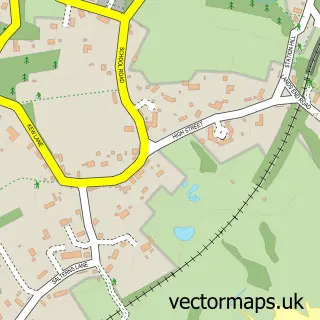
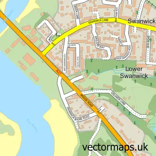
This Netley street map is a detailed vector street map covering a 750m x 750m area. Select a larger area to create and download your own vector street map of Netley.
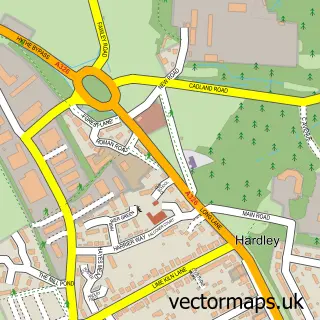
The 750-metre map sample for Netley covers 600 mapped buildings and approximately 17.6 km of road detail, of which 36 named roads are named. The immediate area includes 2 schools, 7 GP surgeries within 2 miles and 11 MOT stations within 2 miles. The wider area around Netley features 2 tourism points of interest, 1 food and drink venue and 1 hotel. To create a larger or custom map of Netley, the map builder lets you define your own coverage area and download editable SVG, PDF and PNG files.
Create a larger editable map of Netley
Choose any area you need and generate a high-quality vector map instantly. Perfect for print, planning, design, business and personal use.

This Netley street map in Hampshire is available as downloadable SVG, PDF and PNG map files, or as a printed map for planning, business, display, education, local information and design work. You can also create a larger custom map area using the map selector.
What this Netley map sample shows
Netley lies within Hound Cp parish, part of Hamble & Netley ward in the Eastleigh District (B) local authority area. The postcode geography for this area includes the SO postcode area, the SO31 postcode district and the SO31 5 postcode sector. Residents fall under the Nhs Hampshire And Isle Of Wight Integrated Care Board for NHS services.
Local features near Netley
Within 2 milesAmenities and services in and around Netley.
Administrative and postcode information for Netley
Netley lies within Hound Cp parish, part of Hamble & Netley ward in the Eastleigh District (B) local authority area. The postcode geography for this area includes the SO postcode area, the SO31 postcode district and the SO31 5 postcode sector. Residents fall under the Nhs Hampshire And Isle Of Wight Integrated Care Board for NHS services.
Nearby street map samples around Netley

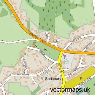
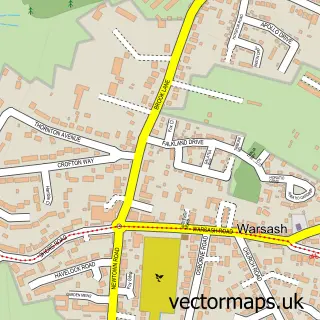
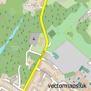
More street maps in Hampshire
750 metre map area coverage
Boundary, postcode and point of interest information for the 750m x 750m rectangle centred on this sample map.
Boundaries containing map centre
Constituency: Hamble Valley Co Const
County: Hampshire County
District: Eastleigh District (B)
Icb: NHS Hampshire and Isle of Wight ICB
Parish: Hound CP
Police Force: hampshire
Postcode District: SO31
Postcode Sector: SO31 5
Ward: Hamble & Netley Ward
Nearby boundaries intersecting sample
No additional intersecting boundaries found.
Postcode coverage
POI category counts
Beauty Salon: 5
Professional Services: 4
Pet Groomer: 3
Bathroom Remodeling: 2
Carpet Cleaning: 2
Convenience Store: 2
Flowers And Gifts Shop: 2
Hair Salon: 2
Library: 2
Metals: 2
Sample points of interest
- Netley Book-keeping Services
- Netley Wreck
- Hindesign
- Creative Kidz Childcare Ltd. at Netley Abbey
- The Cooperative Food (BF) Netley, Netley Abbey
- Refix Maintenance Ltd.
- For Men
- BST Bathrooms
- BST Plumbing Services
- Aimee's Beauty Room
- CME Beauty & Aesthetics
- Hidden Beauty
Create a larger editable map of Netley
This sample shows only a 750 metre area. To create a larger map of Netley, use our map builder to choose your own coverage area, add titles and download editable SVG, PDF and PNG files.
Create a custom map of Netley