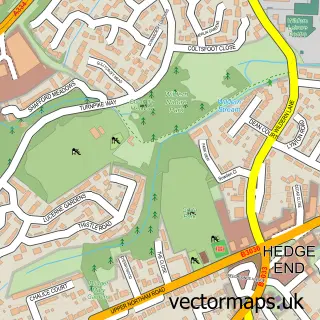
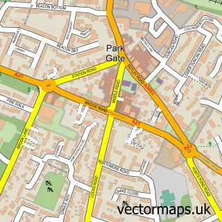
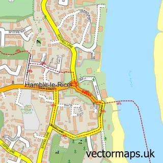
This Sarisbury Green street map is a detailed vector street map covering a 750m x 750m area. Select a larger area to create and download your own vector street map of Sarisbury Green.
The 750-metre map sample for Sarisbury Green covers 300 mapped buildings and approximately 10.3 km of road detail, of which 18 named roads are named. The immediate area includes 1 school, 4 GP surgeries within 2 miles and 14 MOT stations within 2 miles. The wider area around Sarisbury Green features 2 campsites within 2 miles. To create a larger or custom map of Sarisbury Green, the map builder lets you define your own coverage area and download editable SVG, PDF and PNG files.
Create a larger editable map of Sarisbury Green
Choose any area you need and generate a high-quality vector map instantly. Perfect for print, planning, design, business and personal use.

This Sarisbury Green street map in Hampshire is available as downloadable SVG, PDF and PNG map files, or as a printed map for planning, business, display, education, local information and design work. You can also create a larger custom map area using the map selector.
What this Sarisbury Green map sample shows
Sarisbury Green lies within Hampshire County parish, part of Sarisbury ward in the Fareham District (B) local authority area. The postcode geography for this area includes the SO postcode area, the SO31 postcode district and the SO31 7 postcode sector. Residents fall under the Nhs Hampshire And Isle Of Wight Integrated Care Board for NHS services.
Local features near Sarisbury Green
Within 2 milesAmenities and services in and around Sarisbury Green.
Administrative and postcode information for Sarisbury Green
The local authority covering Sarisbury Green is Fareham District (B), within the county of Hampshire. The settlement lies within Sarisbury ward and Hampshire County civil parish. The SO31 postcode district and SO31 7 postcode sector serve the immediate area. NHS provision in the area is delivered through Portsmouth Hospitals University National Health Service Trust.
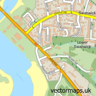
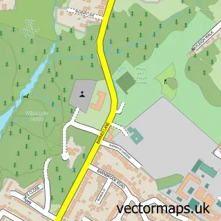
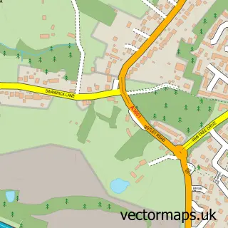
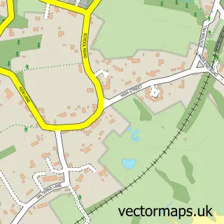
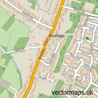
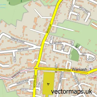
Nearby street map samples around Sarisbury Green

More street maps in Hampshire
750 metre map area coverage
Boundary, postcode and point of interest information for the 750m x 750m rectangle centred on this sample map.
Boundaries containing map centre
Constituency: Hamble Valley Co Const
County: Hampshire County
District: Fareham District (B)
Icb: NHS Hampshire and Isle of Wight ICB
Police Force: hampshire
Postcode District: SO31
Postcode Sector: SO31 7
Ward: Sarisbury & Whiteley Ward
Nearby boundaries intersecting sample
No additional intersecting boundaries found.
Postcode coverage
POI category counts
Hair Salon: 4
Beauty And Spa: 2
Beauty Salon: 2
Church Cathedral: 2
Preschool: 2
Accountant: 1
Advertising Agency: 1
Anglican Church: 1
Arts And Entertainment: 1
Bar: 1
Sample points of interest
- Victor Stewart
- Innova Technical Sales
- St Paul's Sarisbury Green
- Sarisbury Green Parish Rooms
- Bar on the Green
- Sarisbury Green
- Hair By Jade Mcmanus
- Leon James Hair
- Halos Hair Studio
- Harpers Beauty
- Fiori By Lynne Wedding Flowers
- Watt Health
Create a larger editable map of Sarisbury Green
This sample shows only a 750 metre area. To create a larger map of Sarisbury Green, use our map builder to choose your own coverage area, add titles and download editable SVG, PDF and PNG files.
Create a custom map of Sarisbury Green