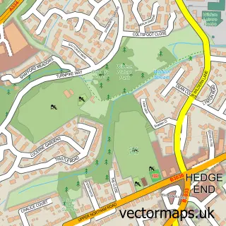
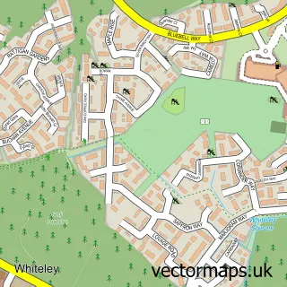
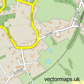
This Park Gate street map is a detailed vector street map covering a 750m x 750m area. Select a larger area to create and download your own vector street map of Park Gate.
The 750-metre map sample for Park Gate covers 566 mapped buildings and approximately 20.2 km of road detail, of which 40 named roads are named. The immediate area includes 1 school, 3 GP surgeries within 2 miles, 1 pub and 1 MOT station, with 11 within 2 miles. The wider area around Park Gate features 2 tourism points of interest, 6 food and drink venues and 3 campsites within 2 miles. To create a larger or custom map of Park Gate, the map builder lets you define your own coverage area and download editable SVG, PDF and PNG files.
Create a larger editable map of Park Gate
Choose any area you need and generate a high-quality vector map instantly. Perfect for print, planning, design, business and personal use.

This Park Gate street map in Hampshire is available as downloadable SVG, PDF and PNG map files, or as a printed map for planning, business, display, education, local information and design work. You can also create a larger custom map area using the map selector.
What this Park Gate map sample shows
Park Gate lies within Hampshire County parish, part of Titchfield Common ward in the Fareham District (B) local authority area. The postcode geography for this area includes the PO postcode area, the PO15 postcode district and the PO15 5 postcode sector. Residents fall under the Nhs Hampshire And Isle Of Wight Integrated Care Board for NHS services.
Local features near Park Gate
Within 2 milesAmenities and services in and around Park Gate.
Administrative and postcode information for Park Gate
The local authority covering Park Gate is Fareham District (B), within the county of Hampshire. The settlement lies within Titchfield Common ward and Hampshire County civil parish. The PO15 postcode district and PO15 5 postcode sector serve the immediate area. NHS provision in the area is delivered through Portsmouth Hospitals University National Health Service Trust.
Nearby street map samples around Park Gate

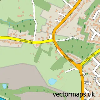
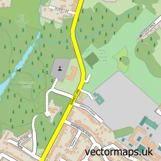
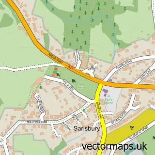
More street maps in Hampshire
750 metre map area coverage
Boundary, postcode and point of interest information for the 750m x 750m rectangle centred on this sample map.
Boundaries containing map centre
Constituency: Hamble Valley Co Const
County: Hampshire County
District: Fareham District (B)
Icb: NHS Hampshire and Isle of Wight ICB
Police Force: hampshire
Postcode District: SO31
Postcode Sector: SO31 7
Ward: Park Gate Ward
Nearby boundaries intersecting sample
Postcode Sector: SO31 1, SO31 6
Ward: Titchfield Common Ward
Postcode coverage
POI category counts
Real Estate Agent: 11
Accountant: 6
Bakery: 5
Beauty Salon: 5
Flowers And Gifts Shop: 5
Gas Station: 5
Home Cleaning: 5
Professional Services: 5
Barber: 4
Building Supply Store: 4
Sample points of interest
- Parkgate, Southampton
- Carbon Accountants
- Creal D A
- Hancock David & Co.
- N B Bookkeeping
- Parry Hancock
- SHMS Contracting
- Fudami
- Impact Media
- Koozai
- David Newell Consultancy
- Brook Lane Rest Home
Create a larger editable map of Park Gate
This sample shows only a 750 metre area. To create a larger map of Park Gate, use our map builder to choose your own coverage area, add titles and download editable SVG, PDF and PNG files.
Create a custom map of Park Gate