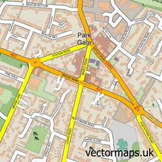
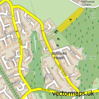
This Warsash street map is a detailed vector street map covering a 750m x 750m area. Select a larger area to create and download your own vector street map of Warsash.
The 750-metre map sample for Warsash covers 502 mapped buildings and approximately 10.6 km of road detail, of which 20 named roads are named. The immediate area includes 3 GP surgeries within 2 miles, 6 pubs and 2 MOT stations, with 7 within 2 miles. The wider area around Warsash features 9 food and drink venues, 1 hotel and 3 campsites within 2 miles. To create a larger or custom map of Warsash, the map builder lets you define your own coverage area and download editable SVG, PDF and PNG files.
Create a larger editable map of Warsash
Choose any area you need and generate a high-quality vector map instantly. Perfect for print, planning, design, business and personal use.

This Warsash street map in Hampshire is available as downloadable SVG, PDF and PNG map files, or as a printed map for planning, business, display, education, local information and design work. You can also create a larger custom map area using the map selector.
What this Warsash map sample shows
Warsash lies within Hampshire County parish, part of Warsash ward in the Fareham District (B) local authority area. The postcode geography for this area includes the SO postcode area, the SO31 postcode district and the SO31 9 postcode sector. Residents fall under the Nhs Hampshire And Isle Of Wight Integrated Care Board for NHS services.
Local features near Warsash
Within 2 milesAmenities and services in and around Warsash.
Administrative and postcode information for Warsash
Warsash lies within Hampshire County parish, part of Warsash ward in the Fareham District (B) local authority area. The postcode geography for this area includes the SO postcode area, the SO31 postcode district and the SO31 9 postcode sector. Residents fall under the Nhs Hampshire And Isle Of Wight Integrated Care Board for NHS services.
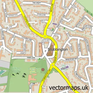
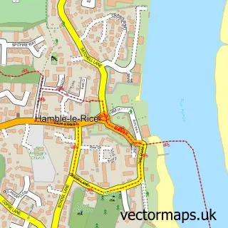
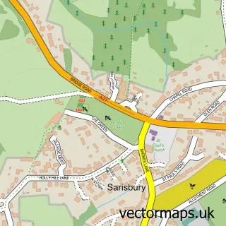
Nearby street map samples around Warsash

More street maps in Hampshire
750 metre map area coverage
Boundary, postcode and point of interest information for the 750m x 750m rectangle centred on this sample map.
Boundaries containing map centre
Constituency: Hamble Valley Co Const
County: Hampshire County
District: Fareham District (B)
Icb: NHS Hampshire and Isle of Wight ICB
Police Force: hampshire
Postcode District: SO31
Postcode Sector: SO31 9
Ward: Hook-with-Warsash Ward
Nearby boundaries intersecting sample
No additional intersecting boundaries found.
Postcode coverage
POI category counts
Beauty Salon: 6
Pub: 6
Hair Salon: 4
Advertising Agency: 3
Gym: 3
Barber: 2
Caterer: 2
Chinese Restaurant: 2
Contractor: 2
Doctor: 2
Sample points of interest
- KTY Yachts
- AJ Social Media Marketing
- Osprey Business Systems
- Port & Lemon
- Hardings
- The Cooperative Food (BF) Warsash (ERF), Warsash
- T. Darby Electrical Ltd.
- The Village Bakery & Tea Room
- Herr Kutz
- Warsash Barbers
- Beleza Beauty
- Cottage Training Centre
Create a larger editable map of Warsash
This sample shows only a 750 metre area. To create a larger map of Warsash, use our map builder to choose your own coverage area, add titles and download editable SVG, PDF and PNG files.
Create a custom map of Warsash