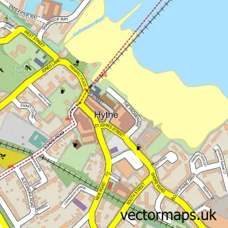
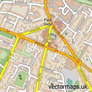
This Hamble-le-Rice street map is a detailed vector street map covering a 750m x 750m area. Select a larger area to create and download your own vector street map of Hamble-le-Rice.
The 750-metre map sample for Hamble-le-Rice covers 319 mapped buildings and approximately 9.9 km of road detail, of which 23 named roads are named. The immediate area includes 3 GP surgeries within 2 miles, 8 pubs and 5 MOT stations within 2 miles. The wider area around Hamble-le-Rice features 1 tourism point of interest, 15 food and drink venues and 3 campsites within 2 miles. To create a larger or custom map of Hamble-le-Rice, the map builder lets you define your own coverage area and download editable SVG, PDF and PNG files.
Create a larger editable map of Hamble-le-Rice
Choose any area you need and generate a high-quality vector map instantly. Perfect for print, planning, design, business and personal use.

This Hamble-le-Rice street map in Hampshire is available as downloadable SVG, PDF and PNG map files, or as a printed map for planning, business, display, education, local information and design work. You can also create a larger custom map area using the map selector.
What this Hamble-le-Rice map sample shows
Hamble-le-Rice lies within Hamble-Le-Rice Cp parish, part of Hamble & Netley ward in the Eastleigh District (B) local authority area. The postcode geography for this area includes the SO postcode area, the SO31 postcode district and the SO31 4 postcode sector. Residents fall under the Nhs Hampshire And Isle Of Wight Integrated Care Board for NHS services.
Local features near Hamble-le-Rice
Within 2 milesAmenities and services in and around Hamble-le-Rice.
Administrative and postcode information for Hamble-le-Rice
Hamble-le-Rice lies within Hamble-Le-Rice Cp parish, part of Hamble & Netley ward in the Eastleigh District (B) local authority area. The postcode geography for this area includes the SO postcode area, the SO31 postcode district and the SO31 4 postcode sector. Residents fall under the Nhs Hampshire And Isle Of Wight Integrated Care Board for NHS services.
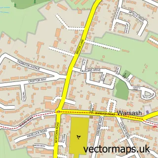
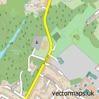
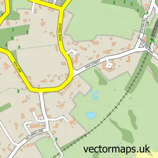
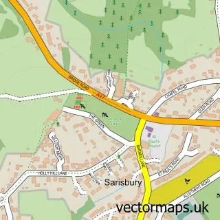
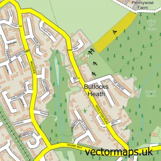
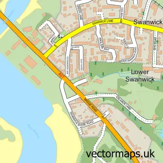
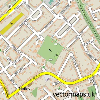
Nearby street map samples around Hamble-le-Rice

More street maps in Hampshire
750 metre map area coverage
Boundary, postcode and point of interest information for the 750m x 750m rectangle centred on this sample map.
Boundaries containing map centre
Constituency: Hamble Valley Co Const
County: Hampshire County
District: Eastleigh District (B)
Icb: NHS Hampshire and Isle of Wight ICB
Parish: Hamble-le-Rice CP
Police Force: hampshire
Postcode District: SO31
Postcode Sector: SO31 4
Ward: Hamble & Netley Ward
Nearby boundaries intersecting sample
District: Fareham District (B)
Postcode Sector: SO31 9
Ward: Hook-with-Warsash Ward
Postcode coverage
POI category counts
Pub: 8
Boat Rental And Training: 7
Automotive Services And Repair: 5
Professional Services: 5
Cafe: 4
Sports And Recreation Venue: 4
Bed And Breakfast: 3
Contractor: 3
Event Planning: 3
Land Surveying: 3
Sample points of interest
- Riverside House
- Blue Box Sailing
- Solent Yachting
- The Priory Church of St. Andrew the Apostle
- SeaSky Gallery
- The Cooperative Food (BF) Hamble (ERF), Hamble
- Desty Marine
- Fairlie Yachts
- Marco Marine Hamble
- Charles Watson Marine
- Hallberg Rassy
- Nautor UK
Create a larger editable map of Hamble-le-Rice
This sample shows only a 750 metre area. To create a larger map of Hamble-le-Rice, use our map builder to choose your own coverage area, add titles and download editable SVG, PDF and PNG files.
Create a custom map of Hamble-le-Rice