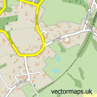
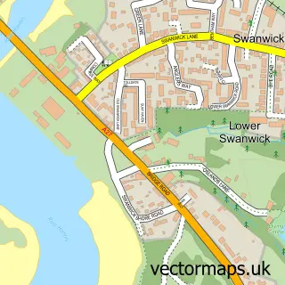
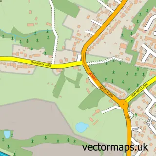
This Butlocks Heath street map is a detailed vector street map covering a 750m x 750m area. Select a larger area to create and download your own vector street map of Butlocks Heath.
The 750-metre map sample for Butlocks Heath covers 320 mapped buildings and approximately 14.7 km of road detail, of which 30 named roads are named. The immediate area includes 7 GP surgeries within 2 miles, 2 pubs and 11 MOT stations within 2 miles. The wider area around Butlocks Heath features 1 tourism point of interest, 2 food and drink venues and 2 campsites within 2 miles. To create a larger or custom map of Butlocks Heath, the map builder lets you define your own coverage area and download editable SVG, PDF and PNG files.
Create a larger editable map of Butlocks Heath
Choose any area you need and generate a high-quality vector map instantly. Perfect for print, planning, design, business and personal use.

This Butlocks Heath street map in Hampshire is available as downloadable SVG, PDF and PNG map files, or as a printed map for planning, business, display, education, local information and design work. You can also create a larger custom map area using the map selector.
What this Butlocks Heath map sample shows
Butlocks Heath lies within Hound Cp parish, part of Hamble & Netley ward in the Eastleigh District (B) local authority area. The postcode geography for this area includes the SO postcode area, the SO31 postcode district and the SO31 5 postcode sector. Residents fall under the Nhs Hampshire And Isle Of Wight Integrated Care Board for NHS services.
Local features near Butlocks Heath
Within 2 milesAmenities and services in and around Butlocks Heath.
Administrative and postcode information for Butlocks Heath
Butlocks Heath lies within Hound Cp parish, part of Hamble & Netley ward in the Eastleigh District (B) local authority area. The postcode geography for this area includes the SO postcode area, the SO31 postcode district and the SO31 5 postcode sector. Residents fall under the Nhs Hampshire And Isle Of Wight Integrated Care Board for NHS services.
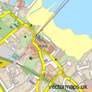
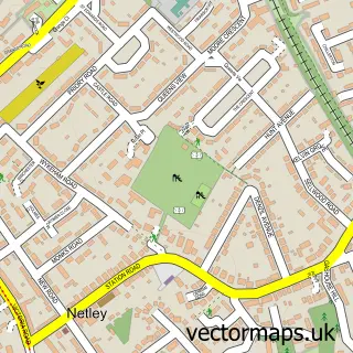
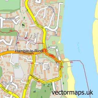
Nearby street map samples around Butlocks Heath

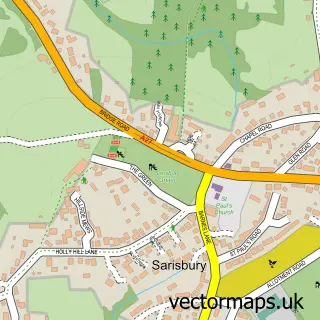
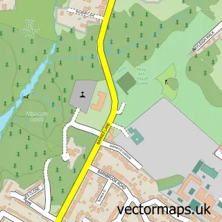
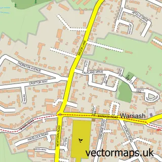
More street maps in Hampshire
750 metre map area coverage
Boundary, postcode and point of interest information for the 750m x 750m rectangle centred on this sample map.
Boundaries containing map centre
Constituency: Hamble Valley Co Const
County: Hampshire County
District: Eastleigh District (B)
Icb: NHS Hampshire and Isle of Wight ICB
Parish: Hound CP
Police Force: hampshire
Postcode District: SO31
Postcode Sector: SO31 5
Ward: Bursledon & Hound North Ward
Nearby boundaries intersecting sample
Postcode District: SO19
Postcode Sector: SO19 9, SO31 8
Ward: Hamble & Netley Ward
Postcode coverage
POI category counts
Building Supply Store: 2
Pub: 2
Accountant: 1
Active Life: 1
Arts And Entertainment: 1
Automotive Parts And Accessories: 1
Beauty And Spa: 1
Building Contractor: 1
Business Consulting: 1
Car Dealer: 1
Sample points of interest
- Abbey Book-Keeping Services
- A.T. Sails
- Les Hart Entertainments
- Yam6 Car Parts
- MV Aesthetics
- Elite Cleaning Services
- Lock It Security
- No Stone Unturned
- Abbey Training Services
- R M Cars
- Kisiki
- Butlocks Store
Create a larger editable map of Butlocks Heath
This sample shows only a 750 metre area. To create a larger map of Butlocks Heath, use our map builder to choose your own coverage area, add titles and download editable SVG, PDF and PNG files.
Create a custom map of Butlocks Heath