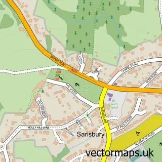
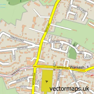
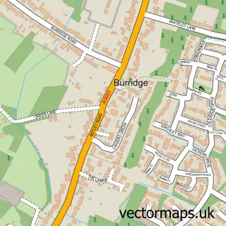
This Sarisbury street map is a detailed vector street map covering a 750m x 750m area. Select a larger area to create and download your own vector street map of Sarisbury.
The 750-metre map sample for Sarisbury covers 182 mapped buildings and approximately 6.9 km of road detail, of which 12 named roads are named. The immediate area includes 1 primary school and 1 secondary school, 4 GP surgeries within 2 miles and 14 MOT stations within 2 miles. The wider area around Sarisbury features 1 food and drink venue and 2 campsites within 2 miles. To create a larger or custom map of Sarisbury, the map builder lets you define your own coverage area and download editable SVG, PDF and PNG files.
Create a larger editable map of Sarisbury
Choose any area you need and generate a high-quality vector map instantly. Perfect for print, planning, design, business and personal use.

This Sarisbury street map in Hampshire is available as downloadable SVG, PDF and PNG map files, or as a printed map for planning, business, display, education, local information and design work. You can also create a larger custom map area using the map selector.
What this Sarisbury map sample shows
Sarisbury lies within Hampshire County parish, part of Sarisbury ward in the Fareham District (B) local authority area. The postcode geography for this area includes the SO postcode area, the SO31 postcode district and the SO31 7 postcode sector. Residents fall under the Nhs Hampshire And Isle Of Wight Integrated Care Board for NHS services.
Local features near Sarisbury
Within 2 milesAmenities and services in and around Sarisbury.
Administrative and postcode information for Sarisbury
The local authority covering Sarisbury is Fareham District (B), within the county of Hampshire. The settlement lies within Sarisbury ward and Hampshire County civil parish. The SO31 postcode district and SO31 7 postcode sector serve the immediate area. NHS provision in the area is delivered through Portsmouth Hospitals University National Health Service Trust.
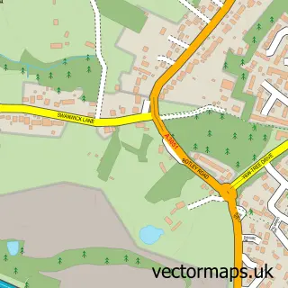
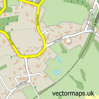
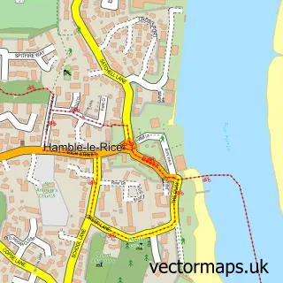
Nearby street map samples around Sarisbury

More street maps in Hampshire
750 metre map area coverage
Boundary, postcode and point of interest information for the 750m x 750m rectangle centred on this sample map.
Boundaries containing map centre
Constituency: Hamble Valley Co Const
County: Hampshire County
District: Fareham District (B)
Icb: NHS Hampshire and Isle of Wight ICB
Police Force: hampshire
Postcode District: SO31
Postcode Sector: SO31 7
Ward: Sarisbury & Whiteley Ward
Nearby boundaries intersecting sample
Ward: Locks Heath Ward, Park Gate Ward
Postcode coverage
POI category counts
Convenience Store: 2
Home Service: 2
Professional Services: 2
Arts And Crafts: 1
Asian Restaurant: 1
Assisted Living Facility: 1
Barber: 1
Beauty Product Supplier: 1
Beauty Salon: 1
Building Supply Store: 1
Sample points of interest
- Sass and Ink Paperie
- Wok This Way
- Ancasta Grove Care Home - Care UK
- Man Barbershop
- Mr Menz
- Time Zone
- Postal Garden Design
- Holly Hill Cafe
- Holly Hill Convenience Store
- Premier
- Sarisbury Infants School
- Holly Hill's Finest Fish and Chips
Create a larger editable map of Sarisbury
This sample shows only a 750 metre area. To create a larger map of Sarisbury, use our map builder to choose your own coverage area, add titles and download editable SVG, PDF and PNG files.
Create a custom map of Sarisbury